Estimated Value: $316,000 - $364,000
--
Bed
2
Baths
1,300
Sq Ft
$260/Sq Ft
Est. Value
About This Home
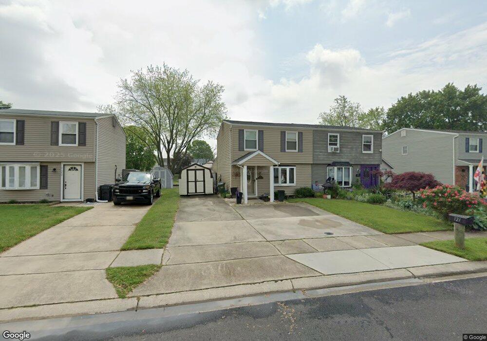
This home is located at 121 Ravenswood Ct, Joppa, MD 21085 and is currently estimated at $337,408, approximately $259 per square foot. 121 Ravenswood Ct is a home located in Harford County with nearby schools including Joppatowne Elementary School, Magnolia Middle School, and Joppatowne High School.
Ownership History
Date
Name
Owned For
Owner Type
Purchase Details
Closed on
Jun 26, 2002
Sold by
Lapinski Jerome J
Bought by
Pruner Michael J and Pruner Serafina M
Current Estimated Value
Purchase Details
Closed on
Oct 28, 1992
Sold by
Zimmerman Kenneth Robert
Bought by
Lapinski Jerome J
Home Financials for this Owner
Home Financials are based on the most recent Mortgage that was taken out on this home.
Original Mortgage
$135,036
Interest Rate
8.23%
Create a Home Valuation Report for This Property
The Home Valuation Report is an in-depth analysis detailing your home's value as well as a comparison with similar homes in the area
Home Values in the Area
Average Home Value in this Area
Purchase History
| Date | Buyer | Sale Price | Title Company |
|---|---|---|---|
| Pruner Michael J | $172,000 | -- | |
| Lapinski Jerome J | $165,000 | -- |
Source: Public Records
Mortgage History
| Date | Status | Borrower | Loan Amount |
|---|---|---|---|
| Previous Owner | Lapinski Jerome J | $135,036 | |
| Closed | Pruner Michael J | -- |
Source: Public Records
Tax History Compared to Growth
Tax History
| Year | Tax Paid | Tax Assessment Tax Assessment Total Assessment is a certain percentage of the fair market value that is determined by local assessors to be the total taxable value of land and additions on the property. | Land | Improvement |
|---|---|---|---|---|
| 2025 | $2,388 | $234,333 | $0 | $0 |
| 2024 | $2,353 | $219,100 | $120,400 | $98,700 |
| 2023 | $2,353 | $215,933 | $0 | $0 |
| 2022 | $2,319 | $212,767 | $0 | $0 |
| 2021 | $1,209 | $209,600 | $120,400 | $89,200 |
| 2020 | $1,209 | $209,600 | $120,400 | $89,200 |
| 2019 | $2,419 | $209,600 | $120,400 | $89,200 |
| 2018 | $2,634 | $230,300 | $147,400 | $82,900 |
| 2017 | $2,621 | $230,300 | $0 | $0 |
| 2016 | -- | $228,100 | $0 | $0 |
| 2015 | $3,214 | $227,000 | $0 | $0 |
| 2014 | $3,214 | $227,000 | $0 | $0 |
Source: Public Records
Map
Nearby Homes
- 124 Ravenswood Ct
- 130 Ravenswood Ct
- 737 Shore Dr
- 550 Riviera Dr
- 546 Riviera Dr Unit B
- 44 Court Dr
- 20 Neptune Dr
- 4 Old Sound Rd
- 108 Duryea Dr
- 226 Kearney Dr
- 114 Doncaster Rd
- 219 Kearney Dr
- 200 Duryea Dr
- 537 Cider Press Ct
- 221 Kershaw Ct
- 565 Macintosh Cir
- 503 Glandel Ct
- 405 Gilmor Rd
- LOTS 2-6 Trimble Rd
- 304 Foster Knoll Dr
- 119 Ravenswood Ct
- 123 Ravenswood Ct
- 117 Ravenswood Ct
- 125 Ravenswood Ct
- 127 Ravenswood Ct
- 115 Ravenswood Ct
- 113 Ravenswood Ct
- 129 Ravenswood Ct
- 111 Ravenswood Ct
- 120 Ravenswood Ct
- 118 Ravenswood Ct
- 131 Ravenswood Ct
- 116 Ravenswood Ct
- 122 Ravenswood Ct
- 114 Ravenswood Ct
- 112 Ravenswood Ct
- 107 Ravenswood Ct
- 133 Ravenswood Ct
- 110 Ravenswood Ct
- 105 Ravenswood Ct