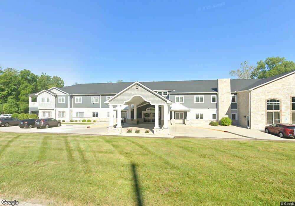
121 S Bluff Rd Collinsville, IL 62234
Estimated Value: $203,000
3
Beds
2
Baths
48,640
Sq Ft
$4/Sq Ft
Est. Value
About This Home
This home is located at 121 S Bluff Rd, Collinsville, IL 62234 and is currently priced at $203,000, approximately $4 per square foot. 121 S Bluff Rd is a home located in Madison County with nearby schools including Twin Echo Elementary School, Dorris Intermediate School, and Collinsville Middle School.
Ownership History
Date
Name
Owned For
Owner Type
Purchase Details
Closed on
Jul 26, 2017
Sold by
Rhp Investments Llc
Bought by
Phillips Investments Llc
Current Estimated Value
Purchase Details
Closed on
Aug 19, 2016
Sold by
Maag Edward T and Maag Gordon E
Bought by
Rhp Investments Llc
Purchase Details
Closed on
Dec 29, 2011
Sold by
Maag Edward T and Maag Gordon E
Bought by
Maag Edward T and Maag Gordon E
Purchase Details
Closed on
Mar 7, 2006
Sold by
Maag Thomas R
Bought by
Maag Thomas R and Thomas R Maag Trust
Create a Home Valuation Report for This Property
The Home Valuation Report is an in-depth analysis detailing your home's value as well as a comparison with similar homes in the area
Home Values in the Area
Average Home Value in this Area
Purchase History
| Date | Buyer | Sale Price | Title Company |
|---|---|---|---|
| Phillips Investments Llc | -- | -- | |
| Rhp Investments Llc | $190,000 | Attorney | |
| Maag Edward T | -- | None Available | |
| Maag Thomas R | -- | None Available |
Source: Public Records
Tax History Compared to Growth
Tax History
| Year | Tax Paid | Tax Assessment Tax Assessment Total Assessment is a certain percentage of the fair market value that is determined by local assessors to be the total taxable value of land and additions on the property. | Land | Improvement |
|---|---|---|---|---|
| 2024 | $186,516 | $2,786,520 | $82,330 | $2,704,190 |
| 2023 | $186,516 | $2,579,150 | $76,200 | $2,502,950 |
| 2022 | $178,580 | $2,385,010 | $70,460 | $2,314,550 |
| 2021 | $163,491 | $2,240,710 | $66,200 | $2,174,510 |
| 2020 | $157,491 | $2,137,880 | $63,160 | $2,074,720 |
| 2019 | $4,543 | $61,010 | $61,010 | $0 |
| 2018 | $4,442 | $57,800 | $57,800 | $0 |
| 2017 | $4,863 | $62,030 | $56,660 | $5,370 |
| 2016 | $2,950 | $35,820 | $30,100 | $5,720 |
| 2015 | $4,647 | $33,590 | $27,950 | $5,640 |
| 2014 | $4,647 | $67,580 | $28,240 | $39,340 |
| 2013 | $4,647 | $67,580 | $28,240 | $39,340 |
Source: Public Records
Map
Nearby Homes
- 45 Bellevue Dr
- 101 Westminster Dr
- 108 Westridge Dr
- 100 Debbie Dr
- 205 Audrey Ave
- 11 Davis Place
- 710 Saint Louis Rd
- 1051 Lafayette Ct Unit A
- 1059 Lafayette Ct Unit A
- 1035 Lafayette Ct Unit B
- 9 Grandview Dr
- 126 Collinsville Ave
- 408 Hillside Dr
- 151 Helen Place
- 625 Greenwood Place
- 114 Moffett Ave Unit 116
- Lot 32 Jefferson Ave
- 116 Moffett Ave
- 128 Courtland Place
- Lot 38 Jefferson Ave
- 1 Canna Dr
- 2 Canna Dr
- 120 S Bluff Rd
- 3 Canna Dr
- 4 Canna Dr
- 1606 W Main St
- 6 Canna Dr
- 1604 W Main St
- 0 State Route 157 Unit 16055828
- 0 State Route 157 Unit 23047845
- 0 State Route 157 Unit 22055430
- 0 State Route 157 Unit 21018884
- 0 State Route 157 Unit 10866288
- 0 State Route 157 Unit 10866279
- 5 Canna Dr
- 155 N Bluff Rd
- 8 Canna Dr
- 1607 W Main St
- 1602 W Main St
- 1605 W Main St