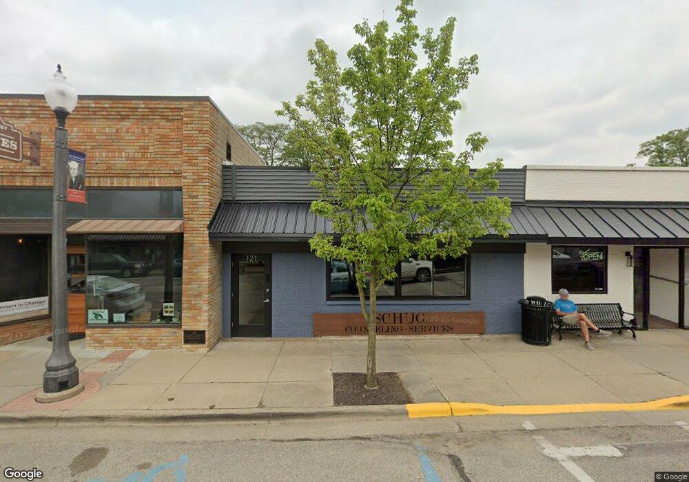
121 S Main St Wayland, MI 49348
Estimated Value: $137,325
--
Bed
2
Baths
1,925
Sq Ft
$71/Sq Ft
Est. Value
About This Home
This home is located at 121 S Main St, Wayland, MI 49348 and is currently estimated at $137,325, approximately $71 per square foot. 121 S Main St is a home located in Allegan County with nearby schools including Wayland High School and St. Therese Catholic School.
Ownership History
Date
Name
Owned For
Owner Type
Purchase Details
Closed on
Feb 5, 2024
Sold by
Action Point Retirement Group Llc
Bought by
Schug Property Group Llc
Current Estimated Value
Home Financials for this Owner
Home Financials are based on the most recent Mortgage that was taken out on this home.
Original Mortgage
$166,500
Outstanding Balance
$163,558
Interest Rate
6.61%
Mortgage Type
New Conventional
Estimated Equity
-$26,233
Purchase Details
Closed on
Feb 28, 2019
Sold by
Storey Ryan
Bought by
Action Point Retirement Group Llc
Purchase Details
Closed on
May 23, 2018
Sold by
Mynatt Mary Ellen and Deyoung Mary Ellen
Bought by
Storey Ryan
Create a Home Valuation Report for This Property
The Home Valuation Report is an in-depth analysis detailing your home's value as well as a comparison with similar homes in the area
Home Values in the Area
Average Home Value in this Area
Purchase History
| Date | Buyer | Sale Price | Title Company |
|---|---|---|---|
| Schug Property Group Llc | -- | Chicago Title Of Michigan | |
| Action Point Retirement Group Llc | $72,500 | Ata National Title Group Llc | |
| Storey Ryan | $51,000 | Bell Title Co |
Source: Public Records
Mortgage History
| Date | Status | Borrower | Loan Amount |
|---|---|---|---|
| Open | Schug Property Group Llc | $166,500 |
Source: Public Records
Tax History Compared to Growth
Tax History
| Year | Tax Paid | Tax Assessment Tax Assessment Total Assessment is a certain percentage of the fair market value that is determined by local assessors to be the total taxable value of land and additions on the property. | Land | Improvement |
|---|---|---|---|---|
| 2025 | $3,362 | $100,000 | $5,400 | $94,600 |
| 2024 | $3,057 | $53,900 | $5,300 | $48,600 |
| 2023 | $3,057 | $53,700 | $6,300 | $47,400 |
| 2022 | $3,057 | $50,600 | $6,000 | $44,600 |
| 2021 | $2,889 | $47,700 | $6,000 | $41,700 |
| 2020 | $2,889 | $46,800 | $5,500 | $41,300 |
| 2019 | $0 | $46,600 | $5,500 | $41,100 |
| 2018 | $0 | $44,400 | $6,900 | $37,500 |
| 2017 | $0 | $45,700 | $6,900 | $38,800 |
| 2016 | $0 | $42,100 | $7,200 | $34,900 |
| 2015 | -- | $42,100 | $7,200 | $34,900 |
| 2014 | -- | $40,400 | $7,200 | $33,200 |
| 2013 | -- | $43,300 | $7,200 | $36,100 |
Source: Public Records
Map
Nearby Homes
- 212 E Superior St
- 146 Hanlon Ct
- 110 E Sycamore St
- 621 S Main St
- 219 Alpine St
- 319 Alpine St
- 545 N Main St
- 3610 Garden St
- 330 Lotz Ct
- 835 Wild Flower Ct
- 1143 Regina Trail
- 3570 Windsor Woods Dr
- 3770 Division Ave S
- 3685 Calkins Ct
- 4674 12th St
- 3282 Stonehill Ct
- 3296 Stonehill Ct
- 3214 7th St
- 3897 Division St
- 3669 Kalamazoo Dr
- 206 S Main St
- 2871 10th St
- 0 10th St Unit 23003388
- 0 10th St Unit 71011012798
- 0 10th St Unit M19058271
- 0 10th St Unit 65018051094
- 0 10th St Unit 65013044162
- 0 10th St Unit 18051094
- 3275 10th St
- 0 10th St Unit 1 11012798
- 0 10th St Unit 13044162
- 0 10th St Unit PAR 1 3525616
- 0 10th St Unit APP 3 3484084
- 0 10th St Unit APP 2 3331748
- 0 10th St Unit APP 2 3327764
- 0 10th St Unit APP 3
- 3269 10th St Unit APP
- 2861 10th St
- 134 E Superior St
- 142 S Main St