Estimated Value: $966,300 - $1,251,000
4
Beds
2
Baths
4,576
Sq Ft
$240/Sq Ft
Est. Value
About This Home
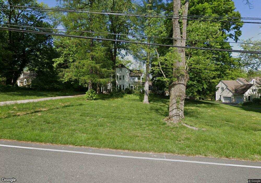
This home is located at 121 S Valley Rd, Paoli, PA 19301 and is currently estimated at $1,096,325, approximately $239 per square foot. 121 S Valley Rd is a home located in Chester County with nearby schools including Beaumont Elementary School, Tredyffrin-Easttown Middle School, and Conestoga Senior High School.
Ownership History
Date
Name
Owned For
Owner Type
Purchase Details
Closed on
Jul 16, 1999
Sold by
Morris Gregory and Morris Edward
Bought by
Torpey Richard I and Fialkowski Elise A
Current Estimated Value
Home Financials for this Owner
Home Financials are based on the most recent Mortgage that was taken out on this home.
Original Mortgage
$240,000
Outstanding Balance
$66,855
Interest Rate
7.49%
Estimated Equity
$1,029,470
Purchase Details
Closed on
Jun 1, 1999
Sold by
Travis Myrtle Elizabeth and Faries Gail E
Bought by
Morris Gregory and Morris Edward
Home Financials for this Owner
Home Financials are based on the most recent Mortgage that was taken out on this home.
Original Mortgage
$240,000
Outstanding Balance
$66,855
Interest Rate
7.49%
Estimated Equity
$1,029,470
Create a Home Valuation Report for This Property
The Home Valuation Report is an in-depth analysis detailing your home's value as well as a comparison with similar homes in the area
Home Values in the Area
Average Home Value in this Area
Purchase History
| Date | Buyer | Sale Price | Title Company |
|---|---|---|---|
| Torpey Richard I | $350,000 | -- | |
| Morris Gregory | $144,600 | -- |
Source: Public Records
Mortgage History
| Date | Status | Borrower | Loan Amount |
|---|---|---|---|
| Open | Torpey Richard I | $240,000 |
Source: Public Records
Tax History Compared to Growth
Tax History
| Year | Tax Paid | Tax Assessment Tax Assessment Total Assessment is a certain percentage of the fair market value that is determined by local assessors to be the total taxable value of land and additions on the property. | Land | Improvement |
|---|---|---|---|---|
| 2025 | $6,561 | $186,270 | $67,580 | $118,690 |
| 2024 | $6,561 | $186,270 | $67,580 | $118,690 |
| 2023 | $6,163 | $186,270 | $67,580 | $118,690 |
| 2022 | $6,004 | $186,270 | $67,580 | $118,690 |
| 2021 | $5,890 | $186,270 | $67,580 | $118,690 |
| 2020 | $5,728 | $186,270 | $67,580 | $118,690 |
| 2019 | $5,547 | $186,270 | $67,580 | $118,690 |
| 2018 | $5,437 | $186,270 | $67,580 | $118,690 |
| 2017 | $5,307 | $186,270 | $67,580 | $118,690 |
| 2016 | -- | $186,270 | $67,580 | $118,690 |
| 2015 | -- | $186,270 | $67,580 | $118,690 |
| 2014 | -- | $186,270 | $67,580 | $118,690 |
Source: Public Records
Map
Nearby Homes
- 1304 Weatherstone Dr Unit 1304
- 2102 Quail Ridge Dr
- 1602 Weatherstone Dr Unit 1602
- 1705 Weatherstone Dr
- 521 Foxwood Ln
- 114 Manor Rd
- 104 Lynbrook Rd
- 106 N Valley Rd
- 29 Manor Rd
- 21 Manor Rd
- 109 Vincent Rd
- 3 Bryan Ave
- 12 Moreland Rd
- 1 Whitworth Ave
- 5 Kent Ln
- 1441 Berwyn Paoli Rd
- 201 Penns Ln
- 1242 Old Lancaster Rd
- 10 Arlington Rd
- 0000 the Willis Elite
- 119 S Valley Rd
- 125 S Valley Rd
- 117 S Valley Rd
- 111 Devon Rd
- 107 Devon Rd
- 115 S Valley Rd
- 110 Darby Rd
- 119 Devon Rd
- 114 Darby Rd
- 113 S Valley Rd
- 108 Darby Rd
- 111 S Valley Rd
- 125 Devon Rd
- 601 Weatherstone Dr
- 602 Weatherstone Dr Unit 602
- 603 Weatherstone Dr Unit 603
- 100 Devon Rd
- 106 Darby Rd
- 604 Weatherstone Dr Unit 604
- 200 S Valley Rd