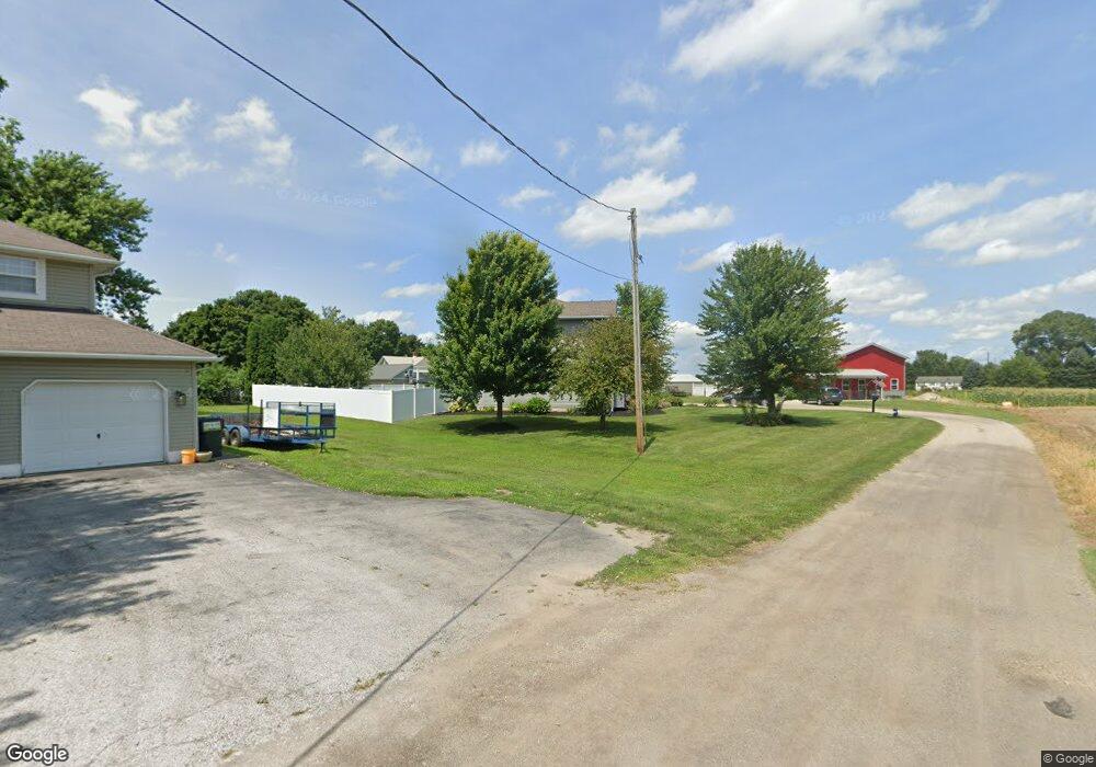
121 Sampson St Bellevue, OH 44811
Estimated Value: $236,000 - $325,322
4
Beds
3
Baths
2,464
Sq Ft
$113/Sq Ft
Est. Value
About This Home
This home is located at 121 Sampson St, Bellevue, OH 44811 and is currently estimated at $279,331, approximately $113 per square foot. 121 Sampson St is a home located in Huron County with nearby schools including Bellevue Elementary School, Bellevue Middle School, and Bellevue High School.
Ownership History
Date
Name
Owned For
Owner Type
Purchase Details
Closed on
Apr 3, 2006
Bought by
Branco Randy L and Branco Cynthia J
Current Estimated Value
Purchase Details
Closed on
Aug 16, 2004
Bought by
Branco Shirley Ann
Purchase Details
Closed on
Dec 11, 2001
Bought by
Branco George J
Purchase Details
Closed on
May 22, 1996
Bought by
Branco George J
Purchase Details
Closed on
Oct 22, 1974
Bought by
Branco George J
Create a Home Valuation Report for This Property
The Home Valuation Report is an in-depth analysis detailing your home's value as well as a comparison with similar homes in the area
Home Values in the Area
Average Home Value in this Area
Purchase History
| Date | Buyer | Sale Price | Title Company |
|---|---|---|---|
| Branco Randy L | $60,000 | -- | |
| Branco Shirley Ann | -- | -- | |
| Branco George J | -- | -- | |
| Branco George J | -- | -- | |
| Branco George J | $30,000 | -- |
Source: Public Records
Tax History
| Year | Tax Paid | Tax Assessment Tax Assessment Total Assessment is a certain percentage of the fair market value that is determined by local assessors to be the total taxable value of land and additions on the property. | Land | Improvement |
|---|---|---|---|---|
| 2024 | $3,824 | $94,090 | $5,600 | $88,490 |
| 2023 | $3,826 | $74,570 | $4,670 | $69,900 |
| 2022 | $3,214 | $74,570 | $4,670 | $69,900 |
| 2021 | $3,241 | $74,570 | $4,670 | $69,900 |
| 2020 | $3,111 | $67,650 | $4,670 | $62,980 |
| 2019 | $3,068 | $67,650 | $4,670 | $62,980 |
| 2018 | $3,027 | $67,650 | $4,670 | $62,980 |
| 2017 | $2,844 | $65,250 | $4,540 | $60,710 |
| 2016 | $2,776 | $65,250 | $4,540 | $60,710 |
| 2015 | $2,838 | $65,250 | $4,540 | $60,710 |
| 2014 | $2,372 | $52,920 | $4,550 | $48,370 |
| 2013 | $2,345 | $52,920 | $4,550 | $48,370 |
Source: Public Records
Map
Nearby Homes
- 140 Hobson St
- 0 St Rt 4 - B
- 128 East St
- 817 E Main St
- 308 E Center St
- 183 Sheffield St
- 206 Southwest St
- 311 N Sandusky St
- 510 Kilbourne St
- 155 Ashford Ave
- 126 Greenwood Heights
- 408 W Main St
- 303 Moore Ave
- 720 Kilbourne St
- 808 Castalia St
- 140 Crystal Ct
- 630 Gardner St
- 0 Oakwood Dr
- 124 Sunset Dr
- 0 Hartland Dr