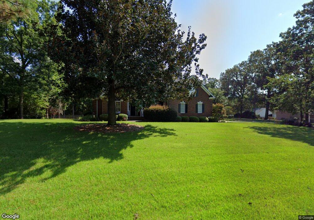
121 Shumpert Rd West Columbia, SC 29172
Pine Ridge NeighborhoodEstimated Value: $496,464 - $827,000
4
Beds
4
Baths
3,849
Sq Ft
$158/Sq Ft
Est. Value
About This Home
This home is located at 121 Shumpert Rd, West Columbia, SC 29172 and is currently estimated at $606,616, approximately $157 per square foot. 121 Shumpert Rd is a home located in Lexington County with nearby schools including Herbert A. Wood Elementary School, Pine Ridge Middle School, and Airport High School.
Ownership History
Date
Name
Owned For
Owner Type
Purchase Details
Closed on
Jan 29, 2009
Sold by
Hightower Torrey P and Hightower Crystal K
Bought by
Ragsdale Eric L and Ragsdale Robin N
Current Estimated Value
Home Financials for this Owner
Home Financials are based on the most recent Mortgage that was taken out on this home.
Original Mortgage
$365,750
Outstanding Balance
$232,924
Interest Rate
5.24%
Mortgage Type
New Conventional
Estimated Equity
$373,692
Purchase Details
Closed on
Dec 16, 2003
Sold by
Kirkland Don R
Bought by
Hightower Torrey P
Purchase Details
Closed on
Jun 18, 2003
Sold by
Estate Of James H Reed
Bought by
Kirkland Don R
Create a Home Valuation Report for This Property
The Home Valuation Report is an in-depth analysis detailing your home's value as well as a comparison with similar homes in the area
Home Values in the Area
Average Home Value in this Area
Purchase History
| Date | Buyer | Sale Price | Title Company |
|---|---|---|---|
| Ragsdale Eric L | $385,000 | -- | |
| Hightower Torrey P | $50,000 | -- | |
| Kirkland Don R | $63,000 | -- |
Source: Public Records
Mortgage History
| Date | Status | Borrower | Loan Amount |
|---|---|---|---|
| Open | Ragsdale Eric L | $365,750 |
Source: Public Records
Tax History Compared to Growth
Tax History
| Year | Tax Paid | Tax Assessment Tax Assessment Total Assessment is a certain percentage of the fair market value that is determined by local assessors to be the total taxable value of land and additions on the property. | Land | Improvement |
|---|---|---|---|---|
| 2024 | $2,270 | $14,872 | $480 | $14,392 |
| 2023 | $2,106 | $14,872 | $480 | $14,392 |
| 2022 | $2,108 | $14,872 | $480 | $14,392 |
| 2020 | $2,097 | $14,872 | $480 | $14,392 |
| 2019 | $2,108 | $14,642 | $480 | $14,162 |
| 2018 | $2,137 | $14,642 | $480 | $14,162 |
| 2017 | $2,057 | $14,642 | $480 | $14,162 |
| 2016 | $2,114 | $14,641 | $480 | $14,161 |
| 2014 | $1,518 | $15,399 | $800 | $14,599 |
| 2013 | -- | $15,400 | $800 | $14,600 |
Source: Public Records
Map
Nearby Homes
- 141 Shumpert Rd
- 130 Mary Dr
- 1124 Myrtle Rd
- 112 Preakness Ct
- 4156 Bachman Rd
- 114 Henston Dr
- 266 Shumpert Rd
- 225 Corine Dr
- 151 Long Iron Ct
- 100 Marilyn Ln
- 0 Hyland Cir
- 500 Calcutta Dr
- 1123 Pine St
- 1306 Congaree Dr
- 632 Spruce Ln
- 119 Hartford Place
- 120 Hidden Acres Ln
- 107 Bunker Dr
- 2105 Sandy Run Dr
- 2020 Sandy Run Dr
- 114 Shumpert Rd
- 115 Shumpert Rd
- 125 Shumpert Rd
- 110 Shumpert Rd
- 133 Shumpert Rd
- 3035 Fish Hatchery Rd
- 109 Shumpert Rd
- 131 Shumpert Rd
- 3049 Fish Hatchery Rd
- 3055 Fish Hatchery Rd
- 3046 Fish Hatchery Rd
- 123 Shumpert Rd
- 129 Shumpert Rd
- 146 Shumpert Rd
- 3060 Fish Hatchery Rd
- 142 Shumpert Rd
- 0 Friendship Ct Unit 437875
- 0 Friendship Ct Unit 392922
- 127 Shumpert Rd
- 127 Shumpert Rd