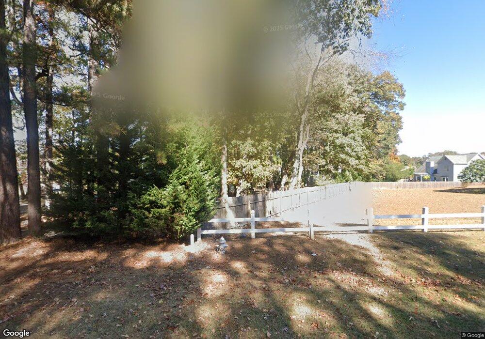
121 Simonton Rd Lawrenceville, GA 30046
Estimated Value: $257,685 - $276,000
1
Bed
1
Bath
1,300
Sq Ft
$207/Sq Ft
Est. Value
About This Home
This home is located at 121 Simonton Rd, Lawrenceville, GA 30046 and is currently estimated at $269,228, approximately $207 per square foot. 121 Simonton Rd is a home with nearby schools including Simonton Elementary School, Jordan Middle School, and Central Gwinnett High School.
Ownership History
Date
Name
Owned For
Owner Type
Purchase Details
Closed on
Jan 7, 2005
Sold by
Bradberry Nelle G
Bought by
Georgia Islamic Institute Of Rel
Current Estimated Value
Purchase Details
Closed on
Dec 28, 2004
Sold by
Hinton William H
Bought by
Bradberry Nelle G
Purchase Details
Closed on
Apr 2, 1997
Sold by
Lynn Steve E
Bought by
Ga Islamic Inst Of Rel & Social Science
Purchase Details
Closed on
Feb 1, 1996
Sold by
Lynn Steve Deborah
Bought by
Ethridge John
Create a Home Valuation Report for This Property
The Home Valuation Report is an in-depth analysis detailing your home's value as well as a comparison with similar homes in the area
Home Values in the Area
Average Home Value in this Area
Purchase History
| Date | Buyer | Sale Price | Title Company |
|---|---|---|---|
| Georgia Islamic Institute Of Rel | $80,000 | -- | |
| Bradberry Nelle G | -- | -- | |
| Ga Islamic Inst Of Rel & Social Science | $50,000 | -- | |
| Ethridge John | $100,000 | -- |
Source: Public Records
Mortgage History
| Date | Status | Borrower | Loan Amount |
|---|---|---|---|
| Closed | Ga Islamic Inst Of Rel & Social Science | -- |
Source: Public Records
Tax History Compared to Growth
Tax History
| Year | Tax Paid | Tax Assessment Tax Assessment Total Assessment is a certain percentage of the fair market value that is determined by local assessors to be the total taxable value of land and additions on the property. | Land | Improvement |
|---|---|---|---|---|
| 2024 | -- | $70,760 | $20,000 | $50,760 |
| 2023 | $708 | $70,760 | $20,000 | $50,760 |
| 2022 | $0 | $142,440 | $106,480 | $35,960 |
| 2021 | $0 | $117,840 | $81,880 | $35,960 |
| 2020 | $0 | $117,840 | $81,880 | $35,960 |
| 2019 | $0 | $117,840 | $81,880 | $35,960 |
| 2018 | $0 | $32,880 | $11,560 | $21,320 |
| 2016 | $0 | $32,880 | $11,560 | $21,320 |
| 2015 | -- | $32,880 | $11,560 | $21,320 |
| 2014 | -- | $32,880 | $11,560 | $21,320 |
Source: Public Records
Map
Nearby Homes
- 200 Simonton Rd SW
- 210 Simonton Rd SW
- 760 Brand Trail S
- 927 Winding Trail
- 722 Thornapple Trail
- 78 Dorothy Ln
- 338 Crane Dr
- 84 Oxford Brook Way
- 0 Black Oak Ct Unit 10046037
- 982 Waverly Dr
- 97 Forest Place
- 398 Lockridge Ln
- 234 Park Place Dr Unit 1
- 743 New Hope Rd
- 41 Ludwick Ln
- 990 Grayson Hwy
- 429 Crane Dr
- 585 Corley Brook Way
- 129 Simonton Rd SW
- 875 Brand South Trail
- 875 Brand Trail S Unit 1
- 875 Brand Trail S
- 875 Brand Trail S
- 875 Brand Trail S Unit 875
- 865 Brand South Trail Unit 1
- 0 Brand Trail S Unit 7406783
- 0 Brand Trail S Unit 7402726
- 0 Brand Trail S Unit 7190199
- 0 Brand Trail S Unit 8594555
- 0 Brand Trail S Unit 8440900
- 0 Brand Trail S Unit 7515533
- 0 Brand Trail S Unit 7455601
- 0 Brand Trail S Unit 7219300
- 0 Brand Trail S Unit 7121978
- 0 Brand Trail S Unit 8820238
- 0 Brand Trail S Unit 8932138
- 0 Brand Trail S Unit 3227647
- 0 Brand Trail S Unit 7101767
