--
Bed
--
Bath
--
Sq Ft
--
Built
About This Home
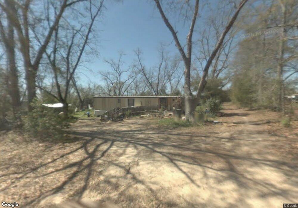
This home is located at 121 Simpson Dr, Pavo, GA 31778. 121 Simpson Dr is a home with nearby schools including North Brooks Elementary School.
Ownership History
Date
Name
Owned For
Owner Type
Purchase Details
Closed on
Sep 14, 2022
Sold by
Smallwood Beverley Jo
Bought by
Smallwood Beverley Jo and Harris William R
Purchase Details
Closed on
Dec 10, 2021
Sold by
Simpson Tony
Bought by
Smallwood Beverley Jo and Escobar Rosa S
Purchase Details
Closed on
Jun 18, 2021
Sold by
Simpson Emory Allen
Bought by
Simpson Tony
Purchase Details
Closed on
May 5, 2010
Sold by
Logue Michael W
Bought by
Simpson Emory Allen and Simpson Tony
Purchase Details
Closed on
Jul 28, 2004
Sold by
Forester J S
Bought by
Logue Michael W
Purchase Details
Closed on
Jan 25, 1988
Sold by
Forrester Forrester J and Forrester F
Bought by
Forester J S
Purchase Details
Closed on
Jul 3, 1986
Sold by
Cole Calvin and Cole Catherine L
Bought by
Forrester Forrester J and Forrester F
Purchase Details
Closed on
Mar 31, 1986
Sold by
Bondurant Mary B Mrs
Bought by
Cole Calvin and Cole Catherine L
Create a Home Valuation Report for This Property
The Home Valuation Report is an in-depth analysis detailing your home's value as well as a comparison with similar homes in the area
Purchase History
| Date | Buyer | Sale Price | Title Company |
|---|---|---|---|
| Smallwood Beverley Jo | -- | -- | |
| Smallwood Beverley Jo | $25,000 | -- | |
| Simpson Tony | -- | -- | |
| Simpson Emory Allen | $30,000 | -- | |
| Logue Michael W | -- | -- | |
| Forester J S | -- | -- | |
| Forrester Forrester J | $8,500 | -- | |
| Cole Calvin | $6,400 | -- |
Source: Public Records
Tax History
| Year | Tax Paid | Tax Assessment Tax Assessment Total Assessment is a certain percentage of the fair market value that is determined by local assessors to be the total taxable value of land and additions on the property. | Land | Improvement |
|---|---|---|---|---|
| 2025 | $939 | $21,768 | $11,360 | $10,408 |
| 2024 | $578 | $13,560 | $11,360 | $2,200 |
| 2023 | $356 | $11,600 | $10,800 | $800 |
| 2022 | $339 | $10,280 | $10,280 | $0 |
| 2021 | $213 | $6,000 | $6,000 | $0 |
| 2020 | $253 | $6,000 | $6,000 | $0 |
| 2019 | $208 | $6,160 | $6,160 | $0 |
| 2018 | $258 | $5,960 | $5,960 | $0 |
| 2017 | $204 | $5,960 | $5,960 | $0 |
| 2016 | $202 | $5,960 | $5,960 | $0 |
| 2015 | -- | $5,960 | $5,960 | $0 |
| 2014 | -- | $5,960 | $5,960 | $0 |
Source: Public Records
Map
Nearby Homes
- 581 Harris St
- 3.97ACR Beaty Rd
- 3898 Beaty Rd
- 1230 Parrish Rd
- 1136 Nesbitt Rd
- 813 Vonier Rd
- 813 Vonier Road (6 Acres)
- 8447 Airline Rd
- 1038-BA Church St
- 800 Clifford St
- 7402 Coffee Rd
- 9283 Tallokas Rd Unit 54/13
- 9283 Tallokas Rd
- 7921 Five Forks Rd
- 111 Nicole Britt Dr
- 106 Nicole Britt Dr
- 101 Bailey Cir
- 201 Bailey Cir
- 431 Dry Lake Rd
- 9900 Ozell Rd
Your Personal Tour Guide
Ask me questions while you tour the home.