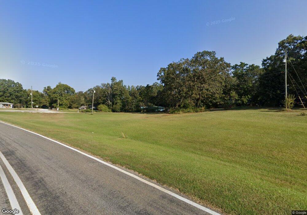
121 Simpson Rd Franklin, GA 30217
Estimated Value: $145,819 - $240,000
3
Beds
1
Bath
2,090
Sq Ft
$99/Sq Ft
Est. Value
About This Home
This home is located at 121 Simpson Rd, Franklin, GA 30217 and is currently estimated at $206,955, approximately $99 per square foot. 121 Simpson Rd is a home located in Heard County with nearby schools including Heard County High School.
Ownership History
Date
Name
Owned For
Owner Type
Purchase Details
Closed on
Jun 6, 2014
Sold by
Certusbank N A
Bought by
Cbna Ga Llc
Current Estimated Value
Purchase Details
Closed on
Feb 4, 2014
Sold by
Levens Theron
Bought by
Certusbank N A
Purchase Details
Closed on
Nov 19, 2004
Sold by
Levens Mozell W
Bought by
Levens Theron
Purchase Details
Closed on
Apr 24, 2004
Sold by
Levens Tom W Estate
Bought by
Levens Thomas W Theron and Levens Thomas W Tilman
Purchase Details
Closed on
Oct 29, 1998
Sold by
Levens Tilman
Bought by
Levens Theron
Purchase Details
Closed on
Oct 1, 1991
Bought by
Levens Tilman
Purchase Details
Closed on
Jan 1, 1901
Bought by
Levens T W
Create a Home Valuation Report for This Property
The Home Valuation Report is an in-depth analysis detailing your home's value as well as a comparison with similar homes in the area
Purchase History
| Date | Buyer | Sale Price | Title Company |
|---|---|---|---|
| Cbna Ga Llc | -- | -- | |
| Certusbank N A | -- | -- | |
| Levens Theron | $32,700 | -- | |
| Levens Thomas W Theron | -- | -- | |
| Levens Theron | -- | -- | |
| Levens Tilman | -- | -- | |
| Levens T W | -- | -- |
Source: Public Records
Tax History
| Year | Tax Paid | Tax Assessment Tax Assessment Total Assessment is a certain percentage of the fair market value that is determined by local assessors to be the total taxable value of land and additions on the property. | Land | Improvement |
|---|---|---|---|---|
| 2024 | $513 | $42,377 | $3,801 | $38,576 |
| 2023 | $375 | $34,899 | $3,168 | $31,731 |
| 2022 | $709 | $33,948 | $2,116 | $31,832 |
| 2021 | $593 | $26,994 | $2,116 | $24,878 |
| 2020 | $528 | $23,782 | $2,116 | $21,666 |
| 2019 | $528 | $23,782 | $2,116 | $21,666 |
| 2018 | $360 | $15,905 | $1,801 | $14,104 |
| 2017 | $342 | $15,128 | $1,608 | $13,520 |
| 2016 | $342 | $15,128 | $1,608 | $13,520 |
Source: Public Records
Map
Nearby Homes
- 7971 Roosterville Rd
- 319 + - Acres Hwy 100
- 99.58 +/- AC Peace Ln
- 99.58 + - Ac Peace Ln
- 140+/- Acres Hwy 100
- 139 Nelson Rd
- 111 Nelson Rd
- 3354 Antioch Rd
- 14250 Ga Highway 100
- 85 Unity Rd
- 65 Unity Rd
- 0 Roosterville Rd Unit 7567146
- 0 Roosterville Rd Unit TRACT 2 10497280
- 0 Roosterville Rd Unit TRACT 4 10561685
- 0 Roosterville Rd Unit TRACT 3 10497284
- 0 Roosterville Rd Unit TRACT 5 10497287
- 0 Roosterville Rd Unit TRACT 4 10497286
- 758 Mahaley Rd
- 1600 Happy Hollow Rd
- 1676 Happy Hollow Rd
- 135 Simpson Rd
- 199 Simpson Rd
- 7919 Roosterville Rd
- 225 Simpson Rd
- 7930 Roosterville Rd
- 7865 Roosterville Rd
- 7895 Roosterville Rd
- 7998 Roosterville Rd
- 7998 Roosterville Rd
- 7707 Roosterville Rd
- 387 Simpson Rd
- 314 Pope Rd
- 330 Pope Rd
- 7676 Roosterville Rd
- 8293 Roosterville Rd
- 7600 Roosterville Rd
- 8038 Roosterville Rd
- 410 Simpson Rd
- 7399 Roosterville Rd
- 550 Simpson Rd
Your Personal Tour Guide
Ask me questions while you tour the home.