121 Southampton Dr Galloway, NJ 08205
Estimated Value: $408,000 - $453,000
2
Beds
2
Baths
1,930
Sq Ft
$221/Sq Ft
Est. Value
About This Home
This home is located at 121 Southampton Dr, Galloway, NJ 08205 and is currently estimated at $425,637, approximately $220 per square foot. 121 Southampton Dr is a home located in Atlantic County with nearby schools including Absegami High School, Cedar Creek High School, and Oakcrest High School.
Ownership History
Date
Name
Owned For
Owner Type
Purchase Details
Closed on
Apr 12, 2021
Sold by
Lavender Marina J and Lavender Marina J
Bought by
Ruspantine Perry Victor and Ruspantine Patricia Louise
Current Estimated Value
Home Financials for this Owner
Home Financials are based on the most recent Mortgage that was taken out on this home.
Original Mortgage
$228,000
Outstanding Balance
$205,856
Interest Rate
3%
Mortgage Type
New Conventional
Estimated Equity
$219,781
Create a Home Valuation Report for This Property
The Home Valuation Report is an in-depth analysis detailing your home's value as well as a comparison with similar homes in the area
Home Values in the Area
Average Home Value in this Area
Purchase History
| Date | Buyer | Sale Price | Title Company |
|---|---|---|---|
| Ruspantine Perry Victor | $285,000 | None Listed On Document |
Source: Public Records
Mortgage History
| Date | Status | Borrower | Loan Amount |
|---|---|---|---|
| Open | Ruspantine Perry Victor | $228,000 |
Source: Public Records
Tax History Compared to Growth
Tax History
| Year | Tax Paid | Tax Assessment Tax Assessment Total Assessment is a certain percentage of the fair market value that is determined by local assessors to be the total taxable value of land and additions on the property. | Land | Improvement |
|---|---|---|---|---|
| 2025 | $6,843 | $205,000 | $44,800 | $160,200 |
| 2024 | $6,843 | $205,000 | $44,800 | $160,200 |
| 2023 | $6,583 | $205,000 | $44,800 | $160,200 |
| 2022 | $6,583 | $205,000 | $44,800 | $160,200 |
| 2021 | $6,451 | $205,000 | $44,800 | $160,200 |
| 2020 | $6,349 | $205,000 | $44,800 | $160,200 |
| 2019 | $6,232 | $205,000 | $44,800 | $160,200 |
| 2018 | $6,320 | $205,000 | $44,800 | $160,200 |
| 2017 | $6,320 | $205,000 | $44,800 | $160,200 |
| 2016 | $6,265 | $205,000 | $44,800 | $160,200 |
| 2015 | $6,236 | $205,000 | $44,800 | $160,200 |
| 2014 | $6,029 | $205,000 | $44,800 | $160,200 |
Source: Public Records
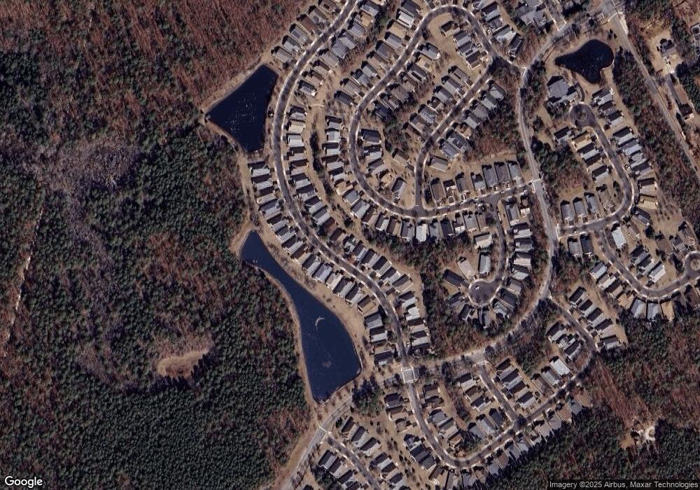
Map
Nearby Homes
- 108 Hyannis Ct
- 115 Devon Ct
- 121 Dover Ct Unit A1
- 517 Weston Dr
- 119 Dover Ct Unit A1
- 55 S New York Rd
- 569 Chatham Way
- 559 E Revere Way
- 143 Sylvan Ave
- 644 E Chancery Ln Unit 14A
- 60 Trotters Ln Unit 909
- 44 Trotters Ln Unit 1007
- 81 Trotters Ln
- 83 Trotters Ln Unit 506
- 84 Trotters Ln Unit 809
- 126 S New York Rd
- 37 Driftwood Ct Unit 37
- 22 Driftwood Ct
- 55 Driftwood Ct
- 104 Meadow Ridge Rd
- 119 Southampton Dr
- 123 Southampton Dr
- 117 Southampton Dr
- 157 Brewster Dr
- 114 Southampton Dr
- 116 Southampton Dr
- 159 Brewster Dr
- 115 Southampton Dr
- 127 Southampton Dr
- 112 Southampton Dr
- 161 Brewster Dr
- 153 Brewster Dr
- 120 Southampton Dr
- 175 Brewster Dr
- 173 Brewster Dr
- 110 Southampton Dr
- 113 Southampton Dr
- 113 Southampton Dr
- 129 Southampton Dr