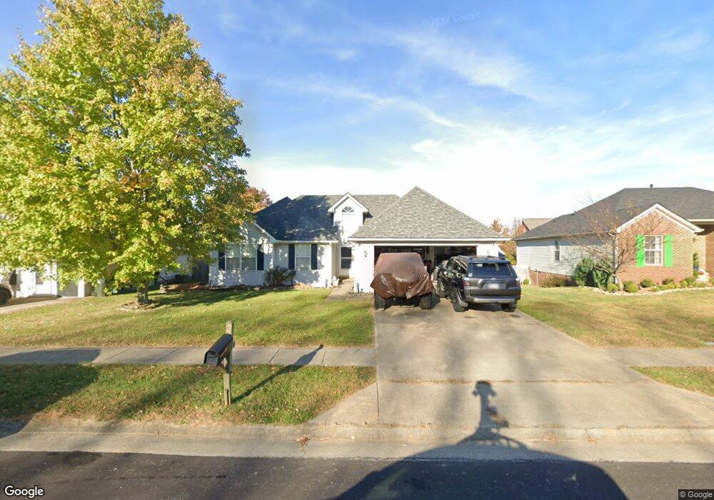
121 Sturbridge Dr Georgetown, KY 40324
Estimated Value: $251,821 - $274,000
3
Beds
2
Baths
1,354
Sq Ft
$198/Sq Ft
Est. Value
About This Home
This home is located at 121 Sturbridge Dr, Georgetown, KY 40324 and is currently estimated at $267,455, approximately $197 per square foot. 121 Sturbridge Dr is a home located in Scott County with nearby schools including Anne Mason Elementary School, Creekside Elementary School, and Scott County Middle School.
Ownership History
Date
Name
Owned For
Owner Type
Purchase Details
Closed on
Apr 17, 2023
Sold by
Bertram Jon David
Bought by
Jon David Bertram Living Trust
Current Estimated Value
Purchase Details
Closed on
Aug 14, 2018
Sold by
Bertram Jon D and Bertram Jon D
Bought by
Bertram Jon D
Home Financials for this Owner
Home Financials are based on the most recent Mortgage that was taken out on this home.
Original Mortgage
$118,000
Interest Rate
4.5%
Mortgage Type
New Conventional
Create a Home Valuation Report for This Property
The Home Valuation Report is an in-depth analysis detailing your home's value as well as a comparison with similar homes in the area
Home Values in the Area
Average Home Value in this Area
Purchase History
| Date | Buyer | Sale Price | Title Company |
|---|---|---|---|
| Jon David Bertram Living Trust | -- | None Listed On Document | |
| Bertram Jon D | -- | None Available |
Source: Public Records
Mortgage History
| Date | Status | Borrower | Loan Amount |
|---|---|---|---|
| Previous Owner | Bertram Jon D | $118,000 |
Source: Public Records
Tax History Compared to Growth
Tax History
| Year | Tax Paid | Tax Assessment Tax Assessment Total Assessment is a certain percentage of the fair market value that is determined by local assessors to be the total taxable value of land and additions on the property. | Land | Improvement |
|---|---|---|---|---|
| 2024 | $1,523 | $215,700 | $0 | $0 |
| 2023 | $1,833 | $202,200 | $38,500 | $163,700 |
| 2022 | $1,471 | $173,000 | $33,000 | $140,000 |
| 2021 | $1,521 | $161,500 | $33,000 | $128,500 |
| 2020 | $1,260 | $146,600 | $33,000 | $113,600 |
| 2019 | $1,221 | $139,900 | $0 | $0 |
| 2018 | $1,113 | $128,280 | $0 | $0 |
| 2017 | $1,119 | $128,280 | $0 | $0 |
| 2016 | $1,011 | $125,570 | $0 | $0 |
| 2015 | $972 | $121,500 | $0 | $0 |
| 2014 | $1,007 | $121,508 | $0 | $0 |
| 2011 | $75 | $121,508 | $0 | $0 |
Source: Public Records
Map
Nearby Homes
- 106 Plymouth Ct
- 134 S Bold Forbes Blvd
- 129 Cornwallis Dr
- 245 Sturbridge Dr
- 103 War Admiral Way
- 145 Inverness Dr
- 177 Swilcan Bridge Way
- 194 Shinnecock Hill Dr
- 141 Shinnecock Hill Dr
- 98 Delissa Dr
- 83 Falls Creek Dr
- 116 Falls Creek Dr
- 109 Blackberry Ln
- 210 Taylorsville Trail
- 100 Woods Point Cir
- 110 Blackberry Ln
- 113 Blackberry Ln
- 118 Falls Creek Dr
- 163 Village Park Dr
- 123 Blackberry Ln
- 119 Sturbridge Dr
- 123 Sturbridge Dr
- 125 Sturbridge Dr
- 117 Sturbridge Dr
- 120 Sturbridge Dr
- 118 Sturbridge Dr Unit 5
- 122 Sturbridge Dr
- 116 Sturbridge Dr
- 127 Sturbridge Dr
- 115 Sturbridge Dr
- 114 Sturbridge Dr
- 121 Monticello Dr
- 119 Monticello Dr
- 113 Sturbridge Dr
- 129 Sturbridge Dr
- 123 Monticello Dr
- 117 Monticello Dr
- 124 Sturbridge Dr
- 112 Sturbridge Dr
- 115 Monticello Dr