121 Succotash Rd Wakefield, RI 02879
Estimated Value: $1,248,370 - $1,677,000
3
Beds
3
Baths
3,432
Sq Ft
$439/Sq Ft
Est. Value
About This Home
This home is located at 121 Succotash Rd, Wakefield, RI 02879 and is currently estimated at $1,506,343, approximately $438 per square foot. 121 Succotash Rd is a home located in Washington County with nearby schools including South Kingstown High School and South Shore School.
Ownership History
Date
Name
Owned For
Owner Type
Purchase Details
Closed on
Apr 28, 2019
Sold by
Latham Scott and Latham Julie
Bought by
Latham Scott
Current Estimated Value
Purchase Details
Closed on
Sep 30, 2010
Sold by
Conneely Laura
Bought by
Salty Acres Llc
Create a Home Valuation Report for This Property
The Home Valuation Report is an in-depth analysis detailing your home's value as well as a comparison with similar homes in the area
Home Values in the Area
Average Home Value in this Area
Purchase History
| Date | Buyer | Sale Price | Title Company |
|---|---|---|---|
| Latham Scott | -- | -- | |
| Salty Acres Llc | $665,000 | -- |
Source: Public Records
Mortgage History
| Date | Status | Borrower | Loan Amount |
|---|---|---|---|
| Previous Owner | Salty Acres Llc | $400,000 | |
| Previous Owner | Salty Acres Llc | $325,000 | |
| Previous Owner | Salty Acres Llc | $260,000 |
Source: Public Records
Tax History Compared to Growth
Tax History
| Year | Tax Paid | Tax Assessment Tax Assessment Total Assessment is a certain percentage of the fair market value that is determined by local assessors to be the total taxable value of land and additions on the property. | Land | Improvement |
|---|---|---|---|---|
| 2025 | $8,674 | $970,200 | $451,200 | $519,000 |
| 2024 | $8,567 | $775,300 | $358,400 | $416,900 |
| 2023 | $8,567 | $775,300 | $358,400 | $416,900 |
| 2022 | $8,490 | $775,300 | $358,400 | $416,900 |
| 2021 | $7,647 | $529,200 | $223,600 | $305,600 |
| 2020 | $7,647 | $529,200 | $223,600 | $305,600 |
| 2019 | $7,647 | $529,200 | $223,600 | $305,600 |
| 2018 | $7,382 | $470,800 | $206,500 | $264,300 |
| 2017 | $7,208 | $470,800 | $206,500 | $264,300 |
| 2016 | $7,104 | $470,800 | $206,500 | $264,300 |
| 2015 | $7,029 | $452,900 | $190,800 | $262,100 |
| 2014 | $7,011 | $452,900 | $190,800 | $262,100 |
Source: Public Records
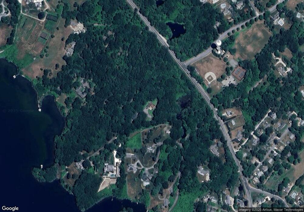
Map
Nearby Homes
- 2139 Commodore Oliver Hazard Perry Hwy
- 16 High Tides Ln
- 23 E Matunuck Farm Dr
- 40 Wild Rose Ct
- 76 Hartford Ave
- 689 Succotash Rd
- 691 Succotash Rd
- 380 Camp Fuller Rd
- 14 E Pointe Ct Unit 14
- 6 MacAlder St
- 1185 Succotash Rd
- 25 Scallop Shell Rd
- 24 Peninsula Rd
- 27 Holden Rd
- 854 Matunuck Beach #215 Rd
- 854 Matunuck Beach Rd
- 975 Matunuck Beach Rd
- 17 Goose Island Rd
- 271 Great Island Rd
- 2321 Post Rd
- 0 Westcote Close
- 20 Mary Anne Ct
- 33 Westcote Close
- 33 Westcote Close
- 83 Westcote Dr
- 54 Westcote Close
- 33 Westcote Dr
- 123 Succotash Rd
- 117 Succotash Rd
- 50 Westcote Close
- 251 Succotash Rd
- 226 Succotash Rd
- 281 Succotash Rd
- 236 Succotash Rd
- 248 Succotash Rd
- 119 Succotash Rd
- 115 Succotash Rd
- 115 Succotash Rd Unit A
- 73 Westcote Dr
- 95 Victoria Ln