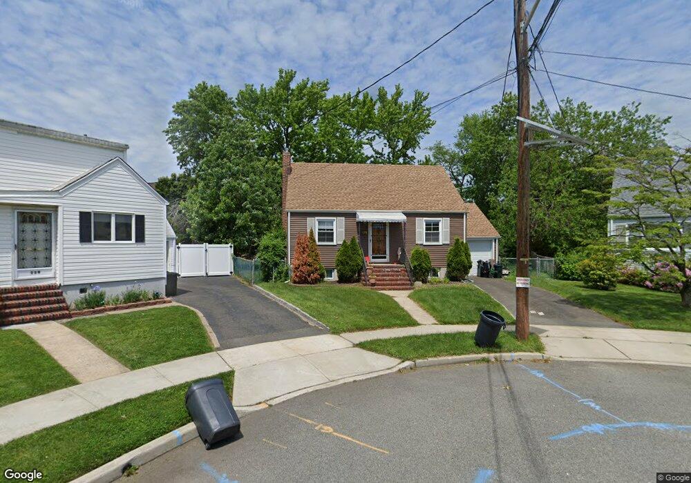
121 Summit Cir Little Ferry, NJ 07643
Estimated Value: $532,000 - $574,000
--
Bed
--
Bath
1,274
Sq Ft
$437/Sq Ft
Est. Value
About This Home
This home is located at 121 Summit Cir, Little Ferry, NJ 07643 and is currently estimated at $557,024, approximately $437 per square foot. 121 Summit Cir is a home located in Bergen County with nearby schools including Memorial Middle School, Academy of Greatness & Excellence, and George Washington School.
Ownership History
Date
Name
Owned For
Owner Type
Purchase Details
Closed on
May 21, 2015
Sold by
Leventhal Barry D and Leventhal Christine
Bought by
Wilson Sean M
Current Estimated Value
Home Financials for this Owner
Home Financials are based on the most recent Mortgage that was taken out on this home.
Original Mortgage
$223,250
Interest Rate
4.08%
Mortgage Type
New Conventional
Create a Home Valuation Report for This Property
The Home Valuation Report is an in-depth analysis detailing your home's value as well as a comparison with similar homes in the area
Home Values in the Area
Average Home Value in this Area
Purchase History
| Date | Buyer | Sale Price | Title Company |
|---|---|---|---|
| Wilson Sean M | $235,000 | None Available |
Source: Public Records
Mortgage History
| Date | Status | Borrower | Loan Amount |
|---|---|---|---|
| Previous Owner | Wilson Sean M | $223,250 |
Source: Public Records
Tax History Compared to Growth
Tax History
| Year | Tax Paid | Tax Assessment Tax Assessment Total Assessment is a certain percentage of the fair market value that is determined by local assessors to be the total taxable value of land and additions on the property. | Land | Improvement |
|---|---|---|---|---|
| 2025 | $8,384 | $370,900 | $281,800 | $89,100 |
| 2024 | $8,131 | $334,700 | $249,400 | $85,300 |
| 2023 | $7,896 | $296,000 | $216,900 | $79,100 |
| 2022 | $7,896 | $268,300 | $194,500 | $73,800 |
| 2021 | $7,840 | $246,800 | $179,500 | $67,300 |
| 2020 | $7,883 | $243,000 | $177,000 | $66,000 |
| 2019 | $7,840 | $240,500 | $174,500 | $66,000 |
| 2018 | $7,817 | $236,800 | $172,000 | $64,800 |
| 2017 | $7,821 | $234,100 | $169,500 | $64,600 |
| 2016 | $7,730 | $230,600 | $167,000 | $63,600 |
| 2015 | $8,319 | $248,400 | $162,000 | $86,400 |
| 2014 | $9,465 | $359,200 | $271,600 | $87,600 |
Source: Public Records
Map
Nearby Homes
- 468a Liberty St Unit 101
- 462 Liberty St Unit 462A Unit 101
- 460 Liberty St Unit 460 B Unit 308
- 453 Liberty St Unit 14
- 541 Moonachie Rd
- 38 Moonachie Rd Unit 315
- 46 Grand St
- 23 Grand St
- 78 Poplar Ave
- 12 Brandt St
- 180 Main St
- 85 Grove St
- 1 Rossi Ct
- 25 Poplar Ave
- 12 Pulaski Place
- 12 Pulaski Place Unit A
- 70 Main St Unit 1
- 48 Main St Unit 1
- 14 Park St
- 418 Taylor Ave
- 123 Summit Cir
- 119 Summit Cir
- 125 Summit Cir
- 69 Indian Lake Dr
- 117 Summit Cir
- 75 Indian Lake Dr
- 464 Liberty St Unit 306
- 464 Liberty St Unit 207
- 464 Liberty St Unit 109
- 464 Liberty St Unit 303
- 464 Liberty St Unit 111
- 464 Liberty St Unit 304
- 464 Liberty St Unit 302
- 464 Liberty St Unit 208
- 464 Liberty St Unit 107
- 464 Liberty St Unit 206
- 464 Liberty St Unit 309
- 464 Liberty St Unit 112
- 464 Liberty St Unit 308
- 464 Liberty St Unit 104