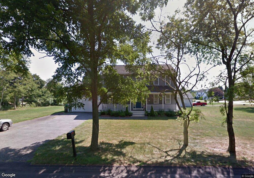
121 Swansom Rd Swansea, MA 02777
Northeast Swansea NeighborhoodEstimated Value: $617,365 - $744,000
3
Beds
3
Baths
2,080
Sq Ft
$316/Sq Ft
Est. Value
About This Home
This home is located at 121 Swansom Rd, Swansea, MA 02777 and is currently estimated at $657,841, approximately $316 per square foot. 121 Swansom Rd is a home located in Bristol County with nearby schools including Joseph Case High School, St. Michael's School, and Swansea Wood School.
Ownership History
Date
Name
Owned For
Owner Type
Purchase Details
Closed on
Apr 21, 2010
Sold by
Berube Joseph
Bought by
Berube Joseph L and Berube Diane
Current Estimated Value
Home Financials for this Owner
Home Financials are based on the most recent Mortgage that was taken out on this home.
Original Mortgage
$292,000
Outstanding Balance
$194,482
Interest Rate
5%
Mortgage Type
Purchase Money Mortgage
Estimated Equity
$463,359
Purchase Details
Closed on
Mar 12, 2007
Sold by
Suspiro Nt and Berube Susan
Bought by
Berube Joseph
Create a Home Valuation Report for This Property
The Home Valuation Report is an in-depth analysis detailing your home's value as well as a comparison with similar homes in the area
Home Values in the Area
Average Home Value in this Area
Purchase History
| Date | Buyer | Sale Price | Title Company |
|---|---|---|---|
| Berube Joseph L | -- | -- | |
| Berube Joseph | -- | -- |
Source: Public Records
Mortgage History
| Date | Status | Borrower | Loan Amount |
|---|---|---|---|
| Open | Berube Joseph L | $292,000 |
Source: Public Records
Tax History Compared to Growth
Tax History
| Year | Tax Paid | Tax Assessment Tax Assessment Total Assessment is a certain percentage of the fair market value that is determined by local assessors to be the total taxable value of land and additions on the property. | Land | Improvement |
|---|---|---|---|---|
| 2025 | $6,139 | $515,000 | $179,000 | $336,000 |
| 2024 | $6,151 | $513,000 | $179,000 | $334,000 |
| 2023 | $5,759 | $438,600 | $131,200 | $307,400 |
| 2022 | $5,395 | $374,900 | $119,300 | $255,600 |
| 2021 | $5,353 | $342,500 | $119,300 | $223,200 |
| 2020 | $5,381 | $345,400 | $119,300 | $226,100 |
| 2019 | $5,360 | $345,600 | $106,400 | $239,200 |
| 2018 | $5,214 | $341,200 | $104,600 | $236,600 |
| 2017 | $4,497 | $338,600 | $104,600 | $234,000 |
| 2016 | $4,360 | $322,500 | $90,300 | $232,200 |
| 2015 | $4,229 | $322,100 | $90,300 | $231,800 |
| 2014 | $3,912 | $304,700 | $90,300 | $214,400 |
Source: Public Records
Map
Nearby Homes
- 33 Rhinecliffe Rd
- 0 Bark St Unit 1342599
- 0 Bark St Unit 73152576
- 265 Stevens Rd
- 58 Randall Ave
- 197 Alberta Ave
- 60 Aetna St
- 80 Meadow Ln
- 66 Meadow Ln
- 34 Doherty Ave
- 51 Linden Dr
- 1496 Riverside Ave
- 34 Base Lodge Ln
- 675 Lees River Ave
- 1000 Riverside Ave
- 745 Bark St
- 24 Front St
- 30 Front St
- 54 Grant Ave
- 8 2nd St