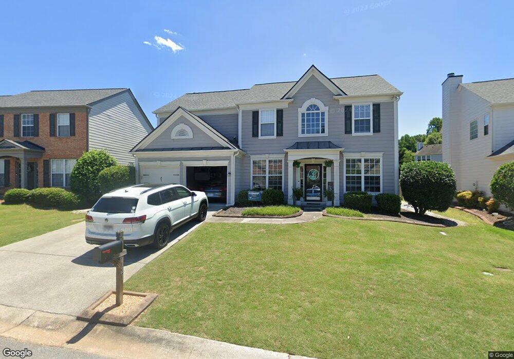
121 Towey Trail Woodstock, GA 30188
Estimated Value: $543,080 - $550,000
4
Beds
3
Baths
2,348
Sq Ft
$233/Sq Ft
Est. Value
About This Home
This home is located at 121 Towey Trail, Woodstock, GA 30188 and is currently estimated at $546,540, approximately $232 per square foot. 121 Towey Trail is a home located in Cherokee County with nearby schools including Little River Elementary, Mill Creek Middle School, and River Ridge High School.
Ownership History
Date
Name
Owned For
Owner Type
Purchase Details
Closed on
Sep 29, 2003
Sold by
Pulte Home Corp
Bought by
Bessada Daniel
Current Estimated Value
Home Financials for this Owner
Home Financials are based on the most recent Mortgage that was taken out on this home.
Original Mortgage
$157,650
Interest Rate
3.63%
Mortgage Type
New Conventional
Create a Home Valuation Report for This Property
The Home Valuation Report is an in-depth analysis detailing your home's value as well as a comparison with similar homes in the area
Home Values in the Area
Average Home Value in this Area
Purchase History
| Date | Buyer | Sale Price | Title Company |
|---|---|---|---|
| Bessada Daniel | $197,100 | -- |
Source: Public Records
Mortgage History
| Date | Status | Borrower | Loan Amount |
|---|---|---|---|
| Previous Owner | Bessada Daniel | $157,650 |
Source: Public Records
Tax History Compared to Growth
Tax History
| Year | Tax Paid | Tax Assessment Tax Assessment Total Assessment is a certain percentage of the fair market value that is determined by local assessors to be the total taxable value of land and additions on the property. | Land | Improvement |
|---|---|---|---|---|
| 2025 | $4,893 | $216,652 | $44,000 | $172,652 |
| 2024 | $4,616 | $202,436 | $44,000 | $158,436 |
| 2023 | $456 | $184,904 | $38,800 | $146,104 |
| 2022 | $3,797 | $151,328 | $31,600 | $119,728 |
| 2021 | $2,999 | $128,276 | $28,000 | $100,276 |
| 2020 | $3,532 | $118,000 | $25,600 | $92,400 |
| 2019 | $2,765 | $116,560 | $25,600 | $90,960 |
| 2018 | $2,685 | $111,800 | $24,000 | $87,800 |
| 2017 | $2,597 | $266,000 | $24,000 | $82,400 |
| 2016 | $2,556 | $258,500 | $22,400 | $81,000 |
| 2015 | $2,462 | $244,000 | $18,000 | $79,600 |
| 2014 | $2,311 | $228,500 | $18,000 | $73,400 |
Source: Public Records
Map
Nearby Homes
- 205 Deerchase Dr
- 144 Towey Trail
- 154 Towey Trail
- 215 Revillion Way
- 116 Neetle Close Dr
- 809 Araya Ct
- 120 Cornerstone Place
- 110 Normandy Dr
- 140 Apple Valley Dr
- 205 Balaban Cir
- 319 Dexter Dr
- 230 Apple Branch Dr
- 166 Churchcliff Dr
- 238 Balaban Cir
- 266 Balaban Cir
- 240 Village Square Dr
- 702 Acampora Dr
- 339 Balaban Cir
- 237 Kigian Trail
- 115 Marlow Dr
- 119 Towey Trail
- 123 Towey Trail
- 117 Towey Trail
- 930 Bendleton Dr
- 116 Towey Trail
- 125 Towey Trail
- 938 Bendleton Dr
- 932 Bendleton Dr
- 118 Towey Trail
- 928 Bendleton Dr
- 936 Bendleton Dr
- 934 Bendleton Dr
- 926 Bendleton Dr Unit 514
- 926 Bendleton Dr
- 115 Towey Trail
- 112 Towey Trail
- 924 Bendleton Dr
- 120 Towey Trail
- 113 Towey Trail
- 951 Bendleton Dr