121 Umstead Rd Cranberry, PA 16319
Estimated Value: $172,000 - $213,000
--
Bed
--
Bath
576
Sq Ft
$338/Sq Ft
Est. Value
About This Home
This home is located at 121 Umstead Rd, Cranberry, PA 16319 and is currently estimated at $194,608, approximately $337 per square foot. 121 Umstead Rd is a home with nearby schools including Keystone Elementary School and Keystone Junior/Senior High School.
Ownership History
Date
Name
Owned For
Owner Type
Purchase Details
Closed on
May 5, 2020
Sold by
Matthews Anita J
Bought by
Matthews Megan E and Matthews Blake D
Current Estimated Value
Home Financials for this Owner
Home Financials are based on the most recent Mortgage that was taken out on this home.
Original Mortgage
$121,500
Outstanding Balance
$107,666
Interest Rate
3.3%
Mortgage Type
New Conventional
Estimated Equity
$86,942
Purchase Details
Closed on
Jan 6, 1991
Bought by
Matthews Edward E and Matthews Anita
Create a Home Valuation Report for This Property
The Home Valuation Report is an in-depth analysis detailing your home's value as well as a comparison with similar homes in the area
Home Values in the Area
Average Home Value in this Area
Purchase History
| Date | Buyer | Sale Price | Title Company |
|---|---|---|---|
| Matthews Megan E | $135,000 | Amrock Inc | |
| Matthews Edward E | $77,600 | -- |
Source: Public Records
Mortgage History
| Date | Status | Borrower | Loan Amount |
|---|---|---|---|
| Open | Matthews Megan E | $121,500 |
Source: Public Records
Tax History Compared to Growth
Tax History
| Year | Tax Paid | Tax Assessment Tax Assessment Total Assessment is a certain percentage of the fair market value that is determined by local assessors to be the total taxable value of land and additions on the property. | Land | Improvement |
|---|---|---|---|---|
| 2025 | $1,477 | $16,920 | $1,270 | $15,650 |
| 2024 | $1,397 | $16,920 | $1,270 | $15,650 |
| 2023 | $1,342 | $16,920 | $1,270 | $15,650 |
| 2022 | $1,325 | $16,920 | $1,270 | $15,650 |
| 2021 | $1,333 | $16,920 | $1,270 | $15,650 |
| 2020 | $1,333 | $16,920 | $1,270 | $15,650 |
| 2019 | $1,333 | $16,920 | $1,270 | $15,650 |
| 2018 | $1,333 | $16,920 | $1,270 | $15,650 |
| 2017 | $1,333 | $16,920 | $1,270 | $15,650 |
| 2016 | $1,333 | $16,920 | $1,270 | $15,650 |
| 2014 | -- | $16,920 | $1,270 | $15,650 |
Source: Public Records
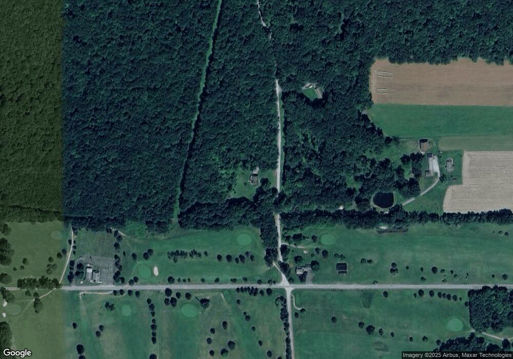
Map
Nearby Homes
- 170 Fernwood Dr
- 206 Kline Rd
- 3626 Route 322
- 4889 Route 322
- 702 Keister Rd
- 336 Best Ave
- 2192 Old State Rd
- 327 Mendenhall Ave
- 3072 Millerstown Rd
- 427 Main St
- 518 E Penn Ave
- 374 E Penn Ave
- 630 S Main St
- 221 Ponds View Ln
- 0 Willow Ave
- 513 Ron McHenry Rd
- 12537 Pennsylvania 208
- 107 Olive Dr
- 261 Curran Rd
- 100 S 3rd St
- 86 Umstead Rd
- 933 Golf Course Rd
- 160 Umstead Rd
- 1414 Stone House Rd
- 0 T-409
- 0 Golf Course Rd
- 1306 Stone House Rd
- 1332 Stone House Rd
- 206 Fernwood Dr
- 127 Fernwood Dr
- 85 Fernwood Dr
- 426 Golf Course Rd
- 592 Umstead Rd
- 599 Umstead Rd
- 599 T-409
- 1347 Golf Course Rd
- 1354 Golf Course Rd
- 1359 Fern Rd
- 1403 Golf Course Rd
- 494 Golf Course Rd