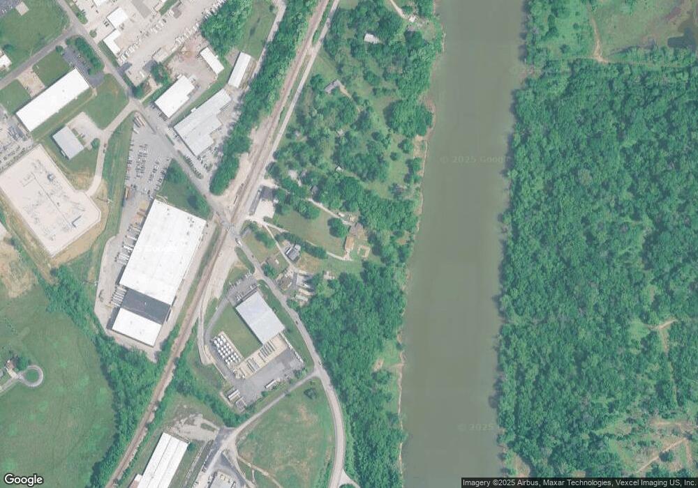
121 Vista Dr Arnold, MO 63010
Estimated Value: $186,935 - $288,000
--
Bed
--
Bath
2,136
Sq Ft
$116/Sq Ft
Est. Value
About This Home
This home is located at 121 Vista Dr, Arnold, MO 63010 and is currently estimated at $246,984, approximately $115 per square foot. 121 Vista Dr is a home located in Jefferson County with nearby schools including Fox Elementary School, Fox Middle School, and Fox Senior High School.
Ownership History
Date
Name
Owned For
Owner Type
Purchase Details
Closed on
Nov 13, 2015
Sold by
Stabler Kathy V and Stabler Katherine V
Bought by
Stabler Katherine V and Stabler Mark A
Current Estimated Value
Purchase Details
Closed on
Jun 26, 2015
Sold by
Stabler Kathy and Estate Of Dorothy V Carter
Bought by
Stabler Kathy
Purchase Details
Closed on
Nov 16, 2010
Sold by
Stabler Katherine Virginia
Bought by
Carter Dorothy Veronica
Purchase Details
Closed on
Oct 2, 2010
Sold by
Carter Dorothy Veronica
Bought by
Stabler Katherine Virginia
Create a Home Valuation Report for This Property
The Home Valuation Report is an in-depth analysis detailing your home's value as well as a comparison with similar homes in the area
Home Values in the Area
Average Home Value in this Area
Purchase History
| Date | Buyer | Sale Price | Title Company |
|---|---|---|---|
| Stabler Katherine V | -- | None Available | |
| Stabler Kathy | -- | None Available | |
| Carter Dorothy Veronica | -- | None Available | |
| Stabler Katherine Virginia | -- | None Available |
Source: Public Records
Tax History Compared to Growth
Tax History
| Year | Tax Paid | Tax Assessment Tax Assessment Total Assessment is a certain percentage of the fair market value that is determined by local assessors to be the total taxable value of land and additions on the property. | Land | Improvement |
|---|---|---|---|---|
| 2025 | $1,196 | $19,700 | $800 | $18,900 |
| 2024 | $1,196 | $17,100 | $800 | $16,300 |
| 2023 | $1,196 | $17,100 | $800 | $16,300 |
| 2022 | $1,219 | $17,100 | $800 | $16,300 |
| 2021 | $1,220 | $17,100 | $800 | $16,300 |
| 2020 | $1,000 | $13,300 | $500 | $12,800 |
| 2019 | $1,003 | $13,300 | $500 | $12,800 |
| 2018 | $997 | $13,300 | $500 | $12,800 |
| 2017 | $1,012 | $13,300 | $500 | $12,800 |
| 2016 | $844 | $11,900 | $500 | $11,400 |
| 2015 | $846 | $11,900 | $500 | $11,400 |
| 2013 | -- | $11,900 | $500 | $11,400 |
Source: Public Records
Map
Nearby Homes
- 0 Unknown Unit 22001740
- 0 Unknown Unit 22001753
- 0 Unknown Unit 22071117
- 0 Unknown Unit 22001730
- 0 Unknown Unit 22071145
- 0 Unknown Unit 21017758
- 1125 Foxwood Estates Dr
- 672 Berrywine Ln
- 630 Idaho Dr
- 7405 Shadow Point Dr
- 480 June Dr
- 1347 Libra Dr
- 420 June Dr
- 7474 Shadow Point Dr
- 2857 Championship Blvd
- 1319 Tony Dr
- 7010 Green Tee Ct Unit A
- 515 Christ Dr
- 1013 Loretta Dr
- 2348 Roland Dr
- 110 Sundew Dr
- 2916 Tenbrook Park Dr
- 2912 Tenbrook Park Dr
- 2904 Tenbrook Park Dr
- 115 Sundew Dr
- 125 Stamm Cir
- 2921 Tenbrook Park Dr
- 3022 Arnold Tenbrook Rd
- 119 Sundew Dr
- 2903 Tenbrook Park Dr
- 2910 Fannie Dr
- 2902 Fannie Dr
- 2964 Tenbrook Rd
- 0Lot 7 Tenbrook Industrial Center
- 3 Tenbrook Industrial Ct
- 2848 Fannie Dr
- 2846 Fannie Dr
- 2844 Fannie Dr
- 2912 Tenbrook Rd
- 2840 Fannie Dr
