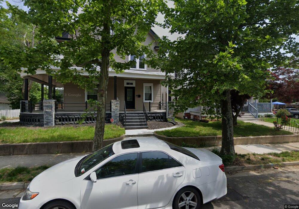
121 W Pitman St Penns Grove, NJ 08069
Estimated Value: $110,000 - $181,000
3
Beds
1
Bath
1,304
Sq Ft
$110/Sq Ft
Est. Value
About This Home
This home is located at 121 W Pitman St, Penns Grove, NJ 08069 and is currently estimated at $143,343, approximately $109 per square foot. 121 W Pitman St is a home located in Salem County with nearby schools including Lafayette-Pershing Elementary School, Field Street Elementary School, and Paul W. Carleton Elementary School.
Ownership History
Date
Name
Owned For
Owner Type
Purchase Details
Closed on
Dec 31, 2013
Sold by
Discerna Investments Llc
Bought by
Mcfadden David
Current Estimated Value
Purchase Details
Closed on
Feb 27, 2007
Sold by
Lowry Dale T
Bought by
Discerna Investments Llc
Purchase Details
Closed on
Feb 9, 2001
Sold by
Sbs Investments Llc
Bought by
Lowry Dale T
Home Financials for this Owner
Home Financials are based on the most recent Mortgage that was taken out on this home.
Original Mortgage
$26,749
Interest Rate
7.08%
Purchase Details
Closed on
Jan 24, 2001
Sold by
Biddle William C
Bought by
Sbs Investments Llc
Home Financials for this Owner
Home Financials are based on the most recent Mortgage that was taken out on this home.
Original Mortgage
$26,749
Interest Rate
7.08%
Create a Home Valuation Report for This Property
The Home Valuation Report is an in-depth analysis detailing your home's value as well as a comparison with similar homes in the area
Home Values in the Area
Average Home Value in this Area
Purchase History
| Date | Buyer | Sale Price | Title Company |
|---|---|---|---|
| Mcfadden David | $25,000 | I Abstract And Title Agencyl | |
| Discerna Investments Llc | $67,000 | -- | |
| Lowry Dale T | $25,000 | Commonwealth Land Title Ins | |
| Sbs Investments Llc | $25,000 | -- |
Source: Public Records
Mortgage History
| Date | Status | Borrower | Loan Amount |
|---|---|---|---|
| Previous Owner | Lowry Dale T | $26,749 |
Source: Public Records
Tax History Compared to Growth
Tax History
| Year | Tax Paid | Tax Assessment Tax Assessment Total Assessment is a certain percentage of the fair market value that is determined by local assessors to be the total taxable value of land and additions on the property. | Land | Improvement |
|---|---|---|---|---|
| 2025 | $2,939 | $53,000 | $9,300 | $43,700 |
| 2024 | $2,841 | $53,000 | $9,300 | $43,700 |
| 2023 | $2,841 | $53,000 | $9,300 | $43,700 |
| 2022 | $2,739 | $53,000 | $9,300 | $43,700 |
| 2021 | $2,620 | $53,000 | $9,300 | $43,700 |
| 2020 | $2,655 | $53,000 | $9,300 | $43,700 |
| 2019 | $2,666 | $53,000 | $9,300 | $43,700 |
| 2018 | $2,767 | $68,600 | $17,300 | $51,300 |
| 2017 | $2,777 | $68,600 | $17,300 | $51,300 |
| 2016 | $2,672 | $68,600 | $17,300 | $51,300 |
| 2015 | $2,559 | $68,600 | $17,300 | $51,300 |
| 2014 | $2,531 | $68,600 | $17,300 | $51,300 |
Source: Public Records
Map
Nearby Homes
- 87 W Pitman St
- 48 Penn St
- 89 Delaware Ave
- 102 Delaware Ave Unit FRONT
- 54 W Pitman St
- 71 Poplar St
- 35 Franklin St
- 22 Delaware Ave
- 78 W Harmony St
- 0 W Main Street and Delaware Ave Unit NJSA2009780
- 18 Pearl St
- 6 W Griffith St
- 59 61 Broad St
- 113 N Broad St
- 3 Naylor Ave
- 28 4th Ave
- 50 Mill St
- 88 Railroad Ave
- 31 Elvin Ave
- 27 E Line St