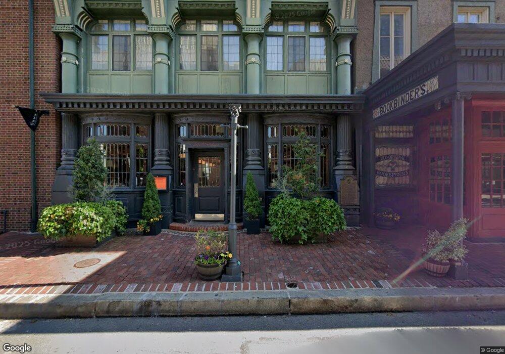
121 Walnut St Unit 35 Philadelphia, PA 19106
Old City NeighborhoodEstimated Value: $1,015,000 - $1,246,000
2
Beds
2
Baths
2,567
Sq Ft
$440/Sq Ft
Est. Value
About This Home
This home is located at 121 Walnut St Unit 35, Philadelphia, PA 19106 and is currently estimated at $1,129,976, approximately $440 per square foot. 121 Walnut St Unit 35 is a home located in Philadelphia County with nearby schools including General George A McCall Public School, Benjamin Franklin High School, and Mastery Charter High School Lenfest Campus.
Ownership History
Date
Name
Owned For
Owner Type
Purchase Details
Closed on
Apr 9, 2025
Sold by
Blood Nancy Hellebrand and Blood Frank A
Bought by
Sheer Patti and Conley Robert T
Current Estimated Value
Purchase Details
Closed on
Jun 16, 2018
Sold by
Chang Eddle and Kim Catherine S
Bought by
Blood Nancy Hellebrand and Blood Frank A
Purchase Details
Closed on
Oct 25, 2007
Sold by
Moravian Associates Lp
Bought by
Chang Eddie and Kim Catherine S
Home Financials for this Owner
Home Financials are based on the most recent Mortgage that was taken out on this home.
Original Mortgage
$840,000
Interest Rate
6.87%
Mortgage Type
Purchase Money Mortgage
Create a Home Valuation Report for This Property
The Home Valuation Report is an in-depth analysis detailing your home's value as well as a comparison with similar homes in the area
Home Values in the Area
Average Home Value in this Area
Purchase History
| Date | Buyer | Sale Price | Title Company |
|---|---|---|---|
| Sheer Patti | $1,150,000 | None Listed On Document | |
| Blood Nancy Hellebrand | $1,210,000 | Title Services | |
| Chang Eddie | $1,050,000 | None Available |
Source: Public Records
Mortgage History
| Date | Status | Borrower | Loan Amount |
|---|---|---|---|
| Previous Owner | Chang Eddie | $840,000 |
Source: Public Records
Tax History Compared to Growth
Tax History
| Year | Tax Paid | Tax Assessment Tax Assessment Total Assessment is a certain percentage of the fair market value that is determined by local assessors to be the total taxable value of land and additions on the property. | Land | Improvement |
|---|---|---|---|---|
| 2025 | $13,753 | $1,026,700 | $143,600 | $883,100 |
| 2024 | $13,753 | $1,026,700 | $143,600 | $883,100 |
| 2023 | $13,753 | $982,500 | $137,500 | $845,000 |
| 2022 | $13,123 | $937,500 | $137,500 | $800,000 |
| 2021 | $13,224 | $0 | $0 | $0 |
| 2020 | $13,224 | $0 | $0 | $0 |
| 2019 | $11,303 | $0 | $0 | $0 |
| 2018 | $7,264 | $0 | $0 | $0 |
| 2017 | $3,050 | $0 | $0 | $0 |
| 2016 | $1,076 | $0 | $0 | $0 |
| 2015 | $1,030 | $0 | $0 | $0 |
| 2014 | -- | $769,000 | $76,900 | $692,100 |
| 2012 | -- | $82,144 | $24,928 | $57,216 |
Source: Public Records
Map
Nearby Homes
- 121 35 Walnut St Unit 404
- 142R S Front St
- 106 Sansom St
- 101 Walnut St Unit PH
- 105 S 2nd St
- 110 12 S Front St Unit 1100
- 200 Locust St Unit 27FN
- 200 Locust St Unit 8A
- 20 S Letitia St Unit 2B
- 20 S Letitia St Unit 5
- 20 S Letitia St Unit 2C
- 239 Chestnut St
- 210 Locust St Unit 16EW
- 210 Locust St Unit 21E
- 210 Locust St Unit 15EW
- 210 Locust St Unit 29GW
- 210 Locust St Unit 29EFW
- 210 Locust St Unit 29HW
- 283 Locust St
- 220 Locust St Unit 2D
- 121 Walnut St Unit 203
- 121 Walnut St Unit 204
- 121 Walnut St Unit 402
- 121 Walnut St Unit 207
- 121 Walnut St Unit 35
- 121 Walnut St Unit 35
- 121 Walnut St Unit 35
- 121 Walnut St Unit 35
- 121 Walnut St Unit 35
- 121 Walnut St Unit 35
- 121 Walnut St Unit 35
- 121 Walnut St Unit 35
- 121 Walnut St Unit 35
- 121 Walnut St Unit 35
- 121 Walnut St Unit 35
- 121 Walnut St Unit 35
- 121 Walnut St Unit 35
- 121 Walnut St Unit 35
- 121 Walnut St Unit 35
- 121 Walnut St Unit 35