121 Watson Rd Forsyth, GA 31029
Estimated Value: $288,147 - $394,000
3
Beds
2
Baths
1,456
Sq Ft
$225/Sq Ft
Est. Value
About This Home
This home is located at 121 Watson Rd, Forsyth, GA 31029 and is currently estimated at $328,037, approximately $225 per square foot. 121 Watson Rd is a home located in Monroe County with nearby schools including Katherine B. Sutton Elementary School and Mary Persons High School.
Ownership History
Date
Name
Owned For
Owner Type
Purchase Details
Closed on
Nov 14, 2008
Sold by
Not Provided
Bought by
Piercy Thomas W
Current Estimated Value
Home Financials for this Owner
Home Financials are based on the most recent Mortgage that was taken out on this home.
Original Mortgage
$177,655
Outstanding Balance
$119,068
Interest Rate
6.51%
Mortgage Type
FHA
Estimated Equity
$208,969
Purchase Details
Closed on
Aug 29, 2008
Sold by
Green Watsons
Bought by
Piercy Thomas W
Home Financials for this Owner
Home Financials are based on the most recent Mortgage that was taken out on this home.
Original Mortgage
$37,500
Interest Rate
9%
Mortgage Type
New Conventional
Purchase Details
Closed on
Nov 4, 2004
Bought by
Knight Connie J
Create a Home Valuation Report for This Property
The Home Valuation Report is an in-depth analysis detailing your home's value as well as a comparison with similar homes in the area
Home Values in the Area
Average Home Value in this Area
Purchase History
| Date | Buyer | Sale Price | Title Company |
|---|---|---|---|
| Piercy Thomas W | $180,000 | -- | |
| Piercy Thomas W | $47,500 | -- | |
| Knight Connie J | $145,000 | -- |
Source: Public Records
Mortgage History
| Date | Status | Borrower | Loan Amount |
|---|---|---|---|
| Open | Piercy Thomas W | $177,655 | |
| Previous Owner | Piercy Thomas W | $37,500 |
Source: Public Records
Tax History Compared to Growth
Tax History
| Year | Tax Paid | Tax Assessment Tax Assessment Total Assessment is a certain percentage of the fair market value that is determined by local assessors to be the total taxable value of land and additions on the property. | Land | Improvement |
|---|---|---|---|---|
| 2024 | $2,108 | $74,888 | $30,040 | $44,848 |
| 2023 | $2,023 | $67,488 | $30,040 | $37,448 |
| 2022 | $1,827 | $67,488 | $30,040 | $37,448 |
| 2021 | $1,891 | $67,488 | $30,040 | $37,448 |
| 2020 | $1,939 | $67,488 | $30,040 | $37,448 |
| 2019 | $1,986 | $68,560 | $30,040 | $38,520 |
| 2018 | $1,202 | $68,560 | $30,040 | $38,520 |
| 2017 | $1,993 | $68,560 | $30,040 | $38,520 |
| 2016 | $1,139 | $68,560 | $30,040 | $38,520 |
| 2015 | $1,078 | $68,560 | $30,040 | $38,520 |
| 2014 | $1,038 | $68,560 | $30,040 | $38,520 |
Source: Public Records
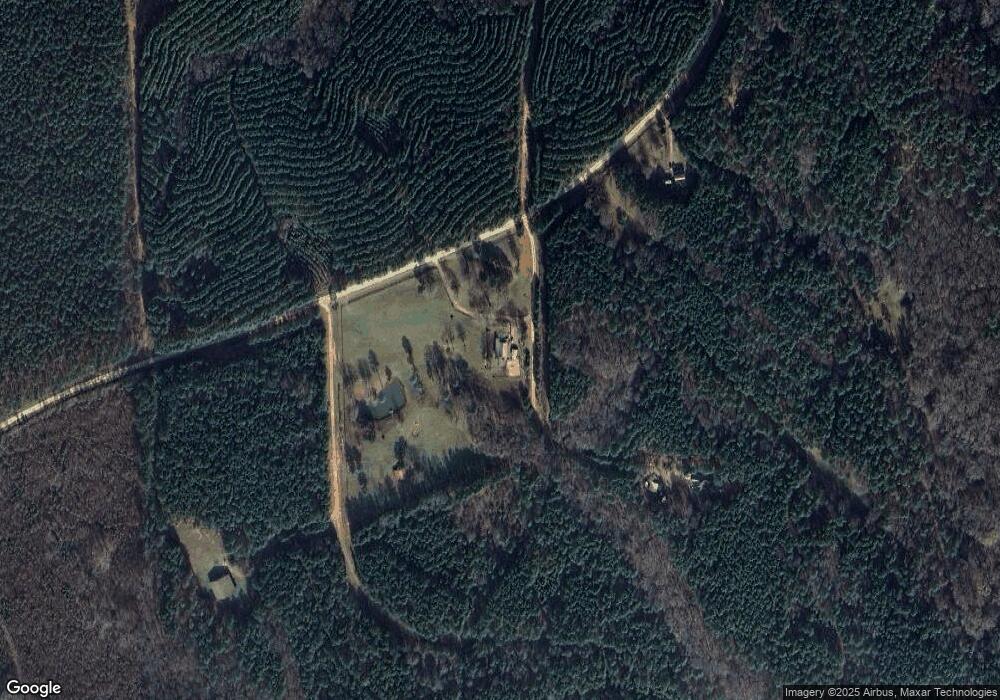
Map
Nearby Homes
- 0 Watson Road East Tract 7 Unit 179268
- 00000 Hwy 87 Tract 5
- 2594 Lassiter Rd
- 0 Hwy 87 Tract 1
- 00 Hwy 87 Tract 2
- 000 Hwy 87 Tract 3
- 0 Ga Highway 87 Unit 1 162113
- 0000 Watson Rd
- 115 Old Stewart Rd
- 151 Nancy Ln
- 2387 Lassiter Rd
- 8 & 9 Lassiter Rd
- 2378 Lassiter Rd
- Lot 8 & 9 Lassiter Rd
- LOT 3 Giles Rd
- 671 Giles Rd
- 677 Giles Rd
- 659 Giles Rd
- LOT 4 Mayfield Rd
- LOT 7 Mayfield Rd
- 110 Canter Way
- 210 Bridle Path
- 201 Watson Rd
- 101 Canter Way
- 15263 Ga Highway 87
- 15263 Georgia 87
- 15303 Highway 87 Unit 3
- 2 Watson Rd
- 0 Lassiter Rd Highway 87 Unit 20 & 21 8540902
- 15179 Georgia 87
- 15179 Ga Highway 87
- 15179 Ga Highway 87
- 21 Watson Rd
- 2599 Lassiter Rd
- 30 Watson Rd
- 2588 Lassiter Rd
- 15171 Ga Highway 87
- 46 Watson Rd
- 15377 Ga Highway 87
- 2519 Lassiter Rd