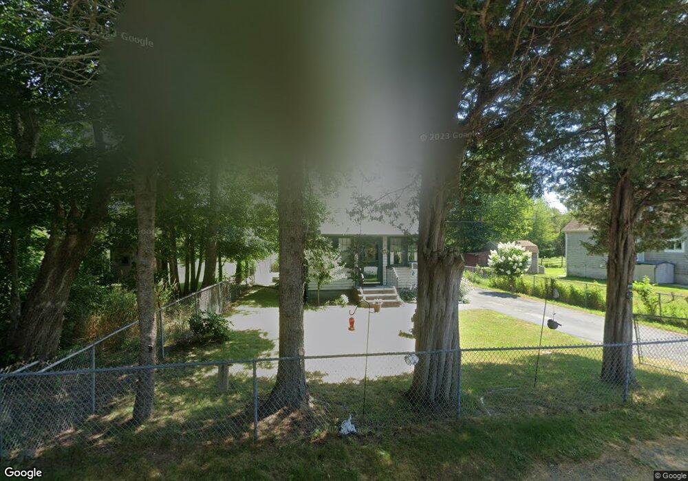
121 Weeden Rd Fairhaven, MA 02719
Estimated Value: $375,000 - $530,000
About This Home
This home is located at 121 Weeden Rd, Fairhaven, MA 02719 and is currently estimated at $453,914, approximately $1,134 per square foot. 121 Weeden Rd is a home located in Bristol County with nearby schools including Fairhaven High School, Alma Del Mar Charter School, and St. Teresa of Calcutta School.
Ownership History
We collect this data history from publicly available records. To have your information removed, we recommend requesting removal directly through your county’s website.
Purchase Details
Purchase Details
Purchase Details
Purchase Details
Purchase Details
Purchase History
We collect this data history from publicly available records. To have your information removed, we recommend requesting removal directly through your county’s website.
| Date | Buyer | Sale Price | Title Company |
|---|---|---|---|
| -- | -- | ||
| $50,000 | -- | ||
| $26,000 | -- | ||
| $10,000 | -- | ||
| $7,500 | -- |
Tax History
We collect this data history from publicly available records. To have your information removed, we recommend requesting removal directly through your county’s website.
| Year | Tax Paid | Tax Assessment Tax Assessment Total Assessment is a certain percentage of the fair market value that is determined by local assessors to be the total taxable value of land and additions on the property. | Land | Improvement |
|---|---|---|---|---|
| 2025 | $45 | $482,800 | $400,700 | $82,100 |
| 2024 | $4,386 | $475,200 | $400,700 | $74,500 |
| 2023 | $4,351 | $437,300 | $371,500 | $65,800 |
| 2022 | $4,246 | $415,500 | $353,900 | $61,600 |
| 2021 | $4,152 | $367,800 | $321,700 | $46,100 |
| 2020 | $3,907 | $353,300 | $307,200 | $46,100 |
| 2019 | $3,790 | $324,800 | $279,600 | $45,200 |
| 2018 | $3,591 | $305,600 | $266,200 | $39,400 |
| 2017 | $3,610 | $299,800 | $266,200 | $33,600 |
| 2016 | $3,673 | $301,600 | $266,200 | $35,400 |
| 2015 | $1,859 | $153,000 | $119,600 | $33,400 |
Map
- 1 Mark Dr
- 280 Huttleston Ave
- 604 Ocean Meadows
- 102 Nasketucket Way
- 7 Wayne St
- 21 Golf St
- 35 Point St
- 24 Harvard St
- 15 Grove St
- 3 Rockland St
- 9 Brae Rd
- 21 Forestview Dr
- 27 Bayview Ave
- 58 Bayview Ave
- 37 Sylvia St
- 15 Shirley St
- 16 Reservation Rd
- 181 Manor Drive Lot 8x
- 181 Manor Drive Lot B
- 181 Washington St
Ask me questions while you tour the home.