121 Welwyn St Unit 16A Lake Bluff, IL 60044
Southwest Waukegan NeighborhoodEstimated Value: $268,255 - $295,000
--
Bed
2
Baths
1,278
Sq Ft
$224/Sq Ft
Est. Value
About This Home
This home is located at 121 Welwyn St Unit 16A, Lake Bluff, IL 60044 and is currently estimated at $286,064, approximately $223 per square foot. 121 Welwyn St Unit 16A is a home located in Lake County with nearby schools including Oak Grove Elementary School, Libertyville High School, and LEARN 10 Charter School.
Ownership History
Date
Name
Owned For
Owner Type
Purchase Details
Closed on
Nov 7, 2023
Sold by
Wood Karen N
Bought by
Carter Jill
Current Estimated Value
Home Financials for this Owner
Home Financials are based on the most recent Mortgage that was taken out on this home.
Original Mortgage
$135,000
Outstanding Balance
$132,811
Interest Rate
7.88%
Mortgage Type
New Conventional
Estimated Equity
$153,253
Create a Home Valuation Report for This Property
The Home Valuation Report is an in-depth analysis detailing your home's value as well as a comparison with similar homes in the area
Home Values in the Area
Average Home Value in this Area
Purchase History
| Date | Buyer | Sale Price | Title Company |
|---|---|---|---|
| Carter Jill | $235,000 | Chicago Title |
Source: Public Records
Mortgage History
| Date | Status | Borrower | Loan Amount |
|---|---|---|---|
| Open | Carter Jill | $135,000 |
Source: Public Records
Tax History Compared to Growth
Tax History
| Year | Tax Paid | Tax Assessment Tax Assessment Total Assessment is a certain percentage of the fair market value that is determined by local assessors to be the total taxable value of land and additions on the property. | Land | Improvement |
|---|---|---|---|---|
| 2024 | $6,114 | $70,029 | $20,031 | $49,998 |
| 2023 | $6,114 | $64,590 | $18,475 | $46,115 |
| 2022 | $6,537 | $62,986 | $17,757 | $45,229 |
| 2021 | $6,292 | $61,630 | $17,375 | $44,255 |
| 2020 | $6,107 | $60,594 | $17,083 | $43,511 |
| 2019 | $6,099 | $60,018 | $16,921 | $43,097 |
| 2018 | $5,629 | $53,769 | $19,880 | $33,889 |
| 2017 | $5,535 | $52,071 | $19,252 | $32,819 |
| 2016 | $5,227 | $49,371 | $18,254 | $31,117 |
| 2015 | $4,979 | $46,145 | $17,061 | $29,084 |
| 2014 | $4,665 | $46,638 | $16,824 | $29,814 |
| 2012 | $5,111 | $47,043 | $16,970 | $30,073 |
Source: Public Records
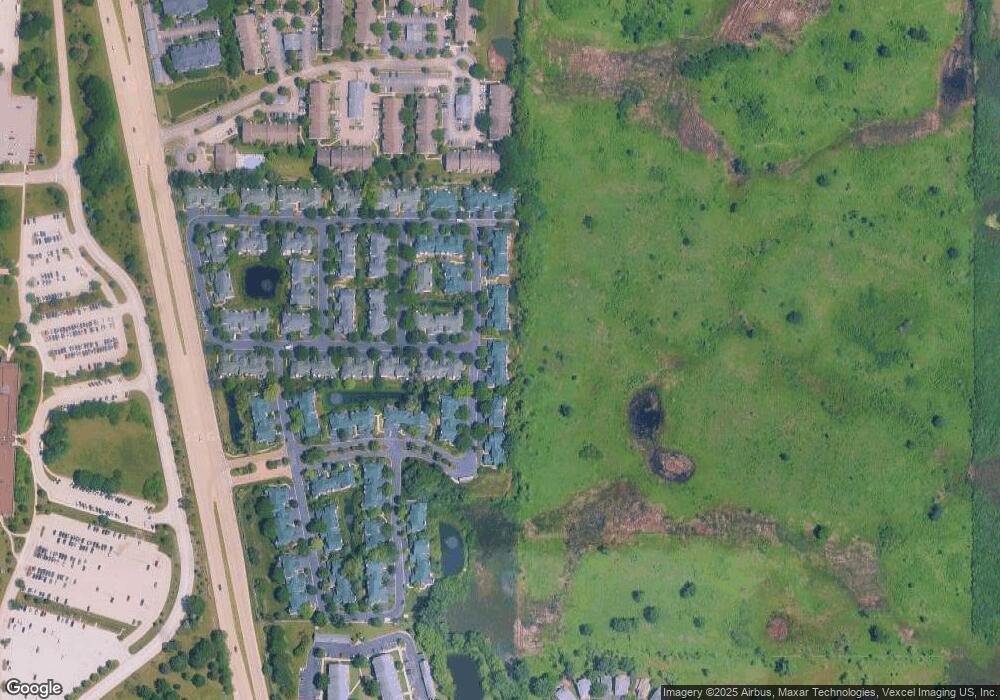
Map
Nearby Homes
- 114 Woodbury Ln Unit 42C
- 106 Woodbury Ln Unit 41A
- 12900 W Heiden Cir Unit 4310
- 3275 Stratford Ct Unit 1A
- 13000 W Heiden Cir Unit 3105
- 13200 W Heiden Cir Unit 2411
- 2910 Frontenac St Unit 107
- 717 Burris Ave
- 1123 Quassey Ave
- 1208 Quassey Ave
- 1004 Jenkisson Ave
- 555 Basil Rd
- 1019 Rockland Rd
- 2020 Knollwood Rd
- 11 Shagbark Rd
- 511 Rockland Rd
- 308 Signe Ct
- 307 Forest View Dr
- 1010 Green Bay Rd
- 1625 Churchill Ct
- 119 Welwyn St Unit 16B
- 117 Welwyn St Unit 16D
- 115 Welwyn St Unit 16C
- 123 Welwyn St Unit 17E
- 123 Welwyn St Unit END
- 125 Welwyn St Unit 17C
- 127 Welwyn St Unit 17D
- 129 Welwyn St Unit 17B
- 120 Welwyn St Unit 39EE
- 141 Hemstead St Unit 38A
- 111 Welwyn St Unit 15E
- 140 Hemstead St Unit 39CE
- 131 Welwyn St Unit 17A
- 139 Hemstead St Unit 38B
- 109 Welwyn St Unit 15D
- 109 Welwyn St Unit 109
- 137 Hemstead St
- 137 Hemstead St Unit 38D
- 138 Hemstead St Unit C
- 135 Hemstead St Unit 38C