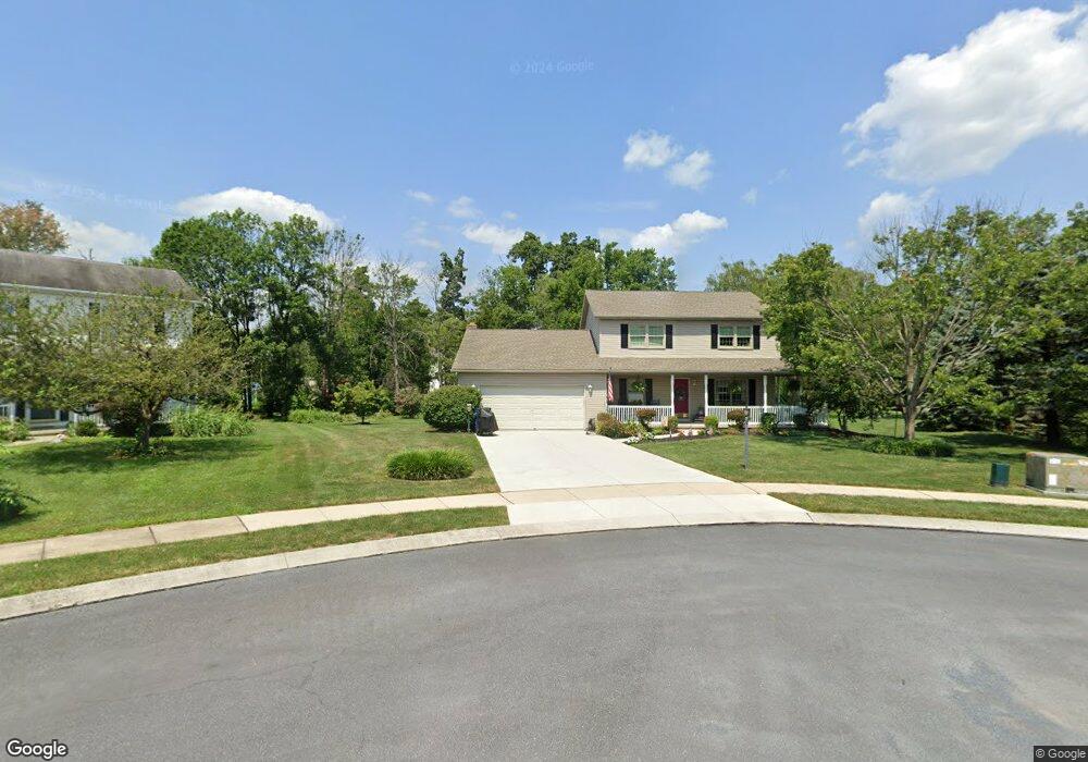
121 Wheaton Dr Unit 117 Littlestown, PA 17340
Estimated Value: $384,000 - $446,000
3
Beds
3
Baths
2,030
Sq Ft
$207/Sq Ft
Est. Value
About This Home
This home is located at 121 Wheaton Dr Unit 117, Littlestown, PA 17340 and is currently estimated at $420,284, approximately $207 per square foot. 121 Wheaton Dr Unit 117 is a home located in Adams County with nearby schools including Rolling Acres El School, Maple Avenue Middle School, and Littlestown Senior High School.
Ownership History
Date
Name
Owned For
Owner Type
Purchase Details
Closed on
Feb 8, 2017
Sold by
Eriksen Barbara M
Bought by
Boyd Debi Eriksen and Morelen Tammy L
Current Estimated Value
Purchase Details
Closed on
Aug 17, 1992
Bought by
Boyd Boyd R and Boyd Deborah M
Create a Home Valuation Report for This Property
The Home Valuation Report is an in-depth analysis detailing your home's value as well as a comparison with similar homes in the area
Home Values in the Area
Average Home Value in this Area
Purchase History
| Date | Buyer | Sale Price | Title Company |
|---|---|---|---|
| Boyd Debi Eriksen | -- | None Available | |
| Boyd Boyd R | $38,500 | -- |
Source: Public Records
Tax History Compared to Growth
Tax History
| Year | Tax Paid | Tax Assessment Tax Assessment Total Assessment is a certain percentage of the fair market value that is determined by local assessors to be the total taxable value of land and additions on the property. | Land | Improvement |
|---|---|---|---|---|
| 2025 | $5,217 | $275,600 | $68,800 | $206,800 |
| 2024 | $4,987 | $275,600 | $68,800 | $206,800 |
| 2023 | $4,888 | $275,600 | $68,800 | $206,800 |
| 2022 | $4,885 | $275,600 | $68,800 | $206,800 |
| 2021 | $4,713 | $275,600 | $68,800 | $206,800 |
| 2020 | $4,645 | $275,600 | $68,800 | $206,800 |
| 2019 | $4,546 | $275,600 | $68,800 | $206,800 |
| 2018 | $4,447 | $275,600 | $68,800 | $206,800 |
| 2017 | $4,294 | $275,600 | $68,800 | $206,800 |
| 2016 | -- | $275,600 | $68,800 | $206,800 |
| 2015 | -- | $275,600 | $68,800 | $206,800 |
| 2014 | -- | $275,600 | $68,800 | $206,800 |
Source: Public Records
Map
Nearby Homes
- 41 Smith Cir
- 162 Newark St
- 535 Lumber St
- 559 Lumber St
- 567 Lumber St
- 43 Ashfield Dr Unit 14
- 211 E King St
- 106 E King St
- 61 E King St
- 440 N Queen St
- 140 Apple Grove Ln Unit 425
- 0 Locust Dr Unit PAAD2015910
- 20c Locust Dr
- 115 Charles St
- 117 Charles St
- 241 M St
- 129 W King St
- 58 Windsor Ct
- 48 Windsor Ct
- 22 Rita Marie Ave
- 123 Wheaton Dr Unit 116
- 119 Wheaton Dr
- 46 Clover Dr Unit 229
- 48 Clover Dr Unit 228
- 50 Clover Dr Unit 227
- 125 Wheaton Dr Unit 115
- 44 Clover Dr Unit 230
- 117 Wheaton Dr Unit 119
- 52 Clover Dr Unit 226
- 115 Wheaton Dr Unit 131
- 127 Wheaton Dr Unit 114
- 47 Clover Dr Unit 222
- 49 Clover Dr Unit 223
- 51 Clover Dr Unit 224
- 113 Wheaton Dr Unit 130
- 43 Clover Dr Unit 220
- 130 Wheaton Dr Unit 120
- 129 Wheaton Dr Unit 113
- 112 Wheaton Dr Unit 132
- 53 Clover Dr Unit 225