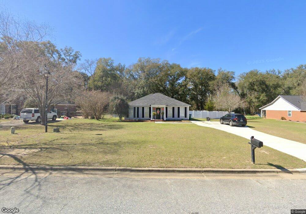
121 Whitetail Trail Leesburg, GA 31763
Philema NeighborhoodEstimated Value: $190,000 - $209,000
3
Beds
2
Baths
1,272
Sq Ft
$155/Sq Ft
Est. Value
About This Home
This home is located at 121 Whitetail Trail, Leesburg, GA 31763 and is currently estimated at $197,277, approximately $155 per square foot. 121 Whitetail Trail is a home located in Lee County with nearby schools including Kinchafoonee Primary School, Twin Oaks Elementary School, and Lee County Middle School East.
Ownership History
Date
Name
Owned For
Owner Type
Purchase Details
Closed on
May 29, 2008
Sold by
Swain Danny Ray
Bought by
Taylor Lindsey S
Current Estimated Value
Home Financials for this Owner
Home Financials are based on the most recent Mortgage that was taken out on this home.
Original Mortgage
$134,587
Outstanding Balance
$86,231
Interest Rate
6.02%
Mortgage Type
New Conventional
Estimated Equity
$111,046
Purchase Details
Closed on
Feb 1, 2000
Sold by
Barfield George A
Bought by
Swain Danny R
Create a Home Valuation Report for This Property
The Home Valuation Report is an in-depth analysis detailing your home's value as well as a comparison with similar homes in the area
Home Values in the Area
Average Home Value in this Area
Purchase History
| Date | Buyer | Sale Price | Title Company |
|---|---|---|---|
| Taylor Lindsey S | $136,700 | -- | |
| Swain Danny R | $86,500 | -- |
Source: Public Records
Mortgage History
| Date | Status | Borrower | Loan Amount |
|---|---|---|---|
| Open | Taylor Lindsey S | $134,587 |
Source: Public Records
Tax History Compared to Growth
Tax History
| Year | Tax Paid | Tax Assessment Tax Assessment Total Assessment is a certain percentage of the fair market value that is determined by local assessors to be the total taxable value of land and additions on the property. | Land | Improvement |
|---|---|---|---|---|
| 2024 | $1,437 | $49,528 | $12,000 | $37,528 |
| 2023 | $1,341 | $49,528 | $12,000 | $37,528 |
| 2022 | $1,341 | $49,528 | $12,000 | $37,528 |
| 2021 | $1,398 | $49,528 | $12,000 | $37,528 |
| 2020 | $1,274 | $40,416 | $8,800 | $31,616 |
| 2019 | $1,296 | $40,416 | $8,800 | $31,616 |
| 2018 | $1,297 | $40,416 | $8,800 | $31,616 |
| 2017 | $1,227 | $40,416 | $8,800 | $31,616 |
| 2016 | $1,227 | $40,416 | $8,800 | $31,616 |
| 2015 | $1,234 | $40,416 | $8,800 | $31,616 |
| 2014 | $1,238 | $40,416 | $8,800 | $31,616 |
| 2013 | -- | $40,416 | $8,800 | $31,616 |
Source: Public Records
Map
Nearby Homes
- 108 McDonald Ct
- 1239 Graves Springs Rd
- 121 Melrose Way
- 118 Dove Ln
- 1138 Philema Rd S
- 108 Conoly St
- 112 Aubry Ct
- 272 Saint Clair Dr
- 943 White Pond Rd
- 0 Garrett Rd
- 179 St Clair Dr
- 159 Bruner Ln
- 255 Stocks Dairy Rd
- 501 Northampton Rd
- 114 Lane Dr
- 110 Evergreen Ct
- 238 Long Pine Dr
- 217 Long Pine Dr
- 104 Wayside Ct
- 0 Graves Springs Rd Unit 10347364
- 125 Whitetail Trail
- 117 Whitetail Trail
- 129 Whitetail Trail
- 113 Whitetail Trail
- 116 Whitetail Trail
- 124 Whitetail Trail
- 133 Whitetail Trail
- 109 Whitetail Trail
- 112 Whitetail Trail
- 128 Whitetail Trail
- 108 Whitetail Trail
- 137 Whitetail Trail
- 132 Whitetail Trail
- 105 Whitetail Trail
- 145 Buckston Trace Ln
- 144 Buckston Trace Ln
- 104 Whitetail Trail
- 136 Whitetail Trail
- 141 Whitetail Trail
- 141 Buckston Trace Ln