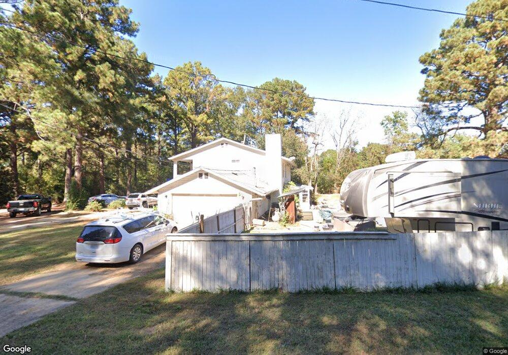
121 Woods Ln Grand Cane, LA 71032
Estimated Value: $255,000 - $396,000
--
Bed
--
Bath
--
Sq Ft
1.76
Acres
About This Home
This home is located at 121 Woods Ln, Grand Cane, LA 71032 and is currently estimated at $328,471. 121 Woods Ln is a home located in De Soto Parish with nearby schools including Mansfield Elementary School, Mansfield Middle School, and Mansfield High School.
Ownership History
Date
Name
Owned For
Owner Type
Purchase Details
Closed on
Jun 25, 2025
Sold by
Gingles Keenan C and Nix Ernest L
Bought by
Hinson Ronnie H
Current Estimated Value
Purchase Details
Closed on
May 24, 2024
Sold by
Robert Jones Properties Llc
Bought by
Bergstrom Place Minerals Llc
Purchase Details
Closed on
May 17, 2022
Sold by
Liv Ee and Liv Pat
Bought by
Crocker Farms Llc
Purchase Details
Closed on
Apr 21, 2011
Sold by
Stevenson David B and Morrow Linda G
Bought by
Phillips Darryl
Home Financials for this Owner
Home Financials are based on the most recent Mortgage that was taken out on this home.
Original Mortgage
$184,000
Interest Rate
4.25%
Mortgage Type
New Conventional
Create a Home Valuation Report for This Property
The Home Valuation Report is an in-depth analysis detailing your home's value as well as a comparison with similar homes in the area
Home Values in the Area
Average Home Value in this Area
Purchase History
| Date | Buyer | Sale Price | Title Company |
|---|---|---|---|
| Hinson Ronnie H | -- | None Listed On Document | |
| Bergstrom Place Minerals Llc | -- | None Listed On Document | |
| Crocker Farms Llc | -- | None Listed On Document | |
| Phillips Darryl | $230,000 | None Available |
Source: Public Records
Mortgage History
| Date | Status | Borrower | Loan Amount |
|---|---|---|---|
| Previous Owner | Phillips Darryl | $184,000 |
Source: Public Records
Tax History Compared to Growth
Tax History
| Year | Tax Paid | Tax Assessment Tax Assessment Total Assessment is a certain percentage of the fair market value that is determined by local assessors to be the total taxable value of land and additions on the property. | Land | Improvement |
|---|---|---|---|---|
| 2024 | $1,885 | $23,720 | $3,000 | $20,720 |
| 2023 | $1,852 | $23,720 | $3,000 | $20,720 |
| 2022 | $2,690 | $23,720 | $3,000 | $20,720 |
| 2021 | $2,667 | $23,720 | $3,000 | $20,720 |
| 2020 | $2,667 | $23,720 | $3,000 | $20,720 |
| 2019 | $2,652 | $23,720 | $3,000 | $20,720 |
| 2018 | $2,658 | $23,720 | $3,000 | $20,720 |
| 2017 | $2,664 | $23,720 | $3,000 | $20,720 |
| 2016 | $2,688 | $23,720 | $3,000 | $20,720 |
| 2015 | $1,837 | $23,720 | $3,000 | $20,720 |
| 2014 | $1,771 | $23,000 | $3,000 | $20,000 |
| 2013 | $1,776 | $23,000 | $3,000 | $20,000 |
Source: Public Records
Map
Nearby Homes
- 533 Holly St
- 968 Mounce Rd
- 5988 Highway 3015
- 802 Silver Spur Ln
- 677 Silver Spur Ln
- 00 Grand Cane Fire Tower Rd
- 265 Pinto Ln
- 509 Lee St
- 316 Kings Hwy
- 337 Jefferson St
- 814 Jefferson St
- 107 Crosby St
- 617 Laura St
- 408 Myra St
- 440 Myra St
- 122 Post Oak Dr
- 0 Eloise St
- 180 Amy Ln
- 128 Honeysuckle Dr
- 121 Honeysuckle Dr
- 141 Woods Ln
- 463 Blunt Mill Rd
- 480 Blunt Mill Rd
- 355 Blunt Mill Rd
- 593 Blunt Mill Rd
- 373 Blunt Mill Rd
- 339 Blunt Mill Rd
- 356 Blunt Mill Rd
- 172 Blunt Mill Rd
- 172 Blunt Mill Rd
- 538 Blunt Mill Rd
- 8856 Highway 171
- 8850 Highway 171
- 8668 Highway 171
- 8576 Highway 171
- 8572 Highway 171
- 624 Blunt Mill Rd
- 00 Blunt Mill Rd
- 214 Morehead Pvt Dr
- 8671 Highway 171