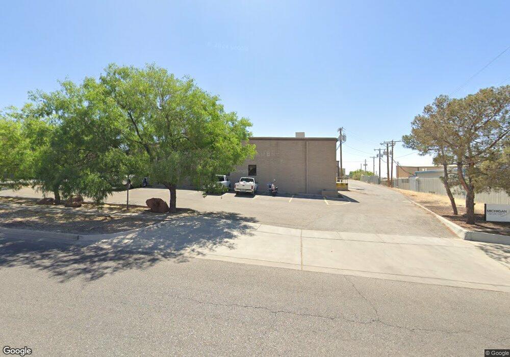
1210 Barranca Dr El Paso, TX 79935
Vista De Oro Neighborhood
--
Bed
--
Bath
19,756
Sq Ft
1.25
Acres
About This Home
This home is located at 1210 Barranca Dr, El Paso, TX 79935. 1210 Barranca Dr is a home located in El Paso County with nearby schools including Eastwood Heights Elementary School, Eastwood Middle School, and Eastwood High School.
Ownership History
Date
Name
Owned For
Owner Type
Purchase Details
Closed on
May 19, 2008
Sold by
Precision Products Group Inc
Bought by
Barranca Property Co Llc
Home Financials for this Owner
Home Financials are based on the most recent Mortgage that was taken out on this home.
Original Mortgage
$624,000
Interest Rate
6.07%
Mortgage Type
Commercial
Purchase Details
Closed on
Oct 7, 1997
Sold by
Garst Edward and Garst Nancy
Bought by
Precision Products Group Inc
Home Financials for this Owner
Home Financials are based on the most recent Mortgage that was taken out on this home.
Original Mortgage
$600,000
Interest Rate
7.59%
Mortgage Type
Seller Take Back
Create a Home Valuation Report for This Property
The Home Valuation Report is an in-depth analysis detailing your home's value as well as a comparison with similar homes in the area
Home Values in the Area
Average Home Value in this Area
Purchase History
| Date | Buyer | Sale Price | Title Company |
|---|---|---|---|
| Barranca Property Co Llc | -- | Republic Title Of Texas Inc | |
| Precision Products Group Inc | -- | -- |
Source: Public Records
Mortgage History
| Date | Status | Borrower | Loan Amount |
|---|---|---|---|
| Closed | Barranca Property Co Llc | $624,000 | |
| Previous Owner | Precision Products Group Inc | $600,000 |
Source: Public Records
Tax History Compared to Growth
Tax History
| Year | Tax Paid | Tax Assessment Tax Assessment Total Assessment is a certain percentage of the fair market value that is determined by local assessors to be the total taxable value of land and additions on the property. | Land | Improvement |
|---|---|---|---|---|
| 2025 | $26,907 | $966,112 | $135,680 | $830,432 |
| 2024 | $26,907 | $979,664 | $135,680 | $843,984 |
| 2023 | $30,003 | $1,030,873 | $135,680 | $895,193 |
| 2022 | $18,777 | $604,675 | $135,680 | $468,995 |
| 2021 | $19,655 | $604,675 | $135,680 | $468,995 |
| 2020 | $19,099 | $604,675 | $135,680 | $468,995 |
| 2018 | $18,804 | $604,675 | $135,680 | $468,995 |
| 2017 | $16,659 | $545,010 | $135,680 | $409,330 |
| 2016 | $16,904 | $553,000 | $135,680 | $417,320 |
| 2015 | $18,083 | $640,268 | $135,680 | $504,588 |
| 2014 | $18,083 | $632,000 | $124,283 | $507,717 |
Source: Public Records
Map
Nearby Homes
- 10844 Sombra Verde Dr
- 1-12 Vanderbilt Dr
- 1534 Monte Sanders Ln
- 1649 Lomaland Dr
- 10617 Candlewood Ave
- 1644 Lomaland Dr Unit 169
- 1730 Bara Dr
- TBD Burnham Dr
- 7975 Esther Rd
- 740 Draco Place
- 8004 Gilbert Dr
- 1121 Stanley St
- 1605 Larry Wadkins Dr
- 11157 Leo Collins Dr
- 8241 Williamette Ave
- 2153 Trawood Dr
- 2201 Trawood Dr
- 10481 Deepwood Ct
- 10533 Springwood Dr
- 8341 Loma Terrace Rd
- 10911 Pellicano Dr
- 10901 Pellicano Dr
- 10921 Pellicano Dr
- 10921 Pellicano Dr Unit 120
- 1211 Barranca Dr
- 12975 Pellicano Dr
- 1220 Barranca Dr Unit 3
- 10870 Pellicano Dr Unit 4 & 5
- 10870 Pellicano Dr Unit 1
- 10870 Pellicano Dr
- 10870 Pellicano Dr Unit 3
- 10870 Pellicano Dr Unit 4
- 10870 Pellicano Dr Unit 5
- 10870 Pellicano Dr Unit 2
- 10870 Pellicano Dr
- 1219 Barranca Dr
- 1219 Barranca Dr Unit B
- 10870 Pellicano Unit 4 Dr
- 11025 Argal Ct
- 10828 John Schlee Ct