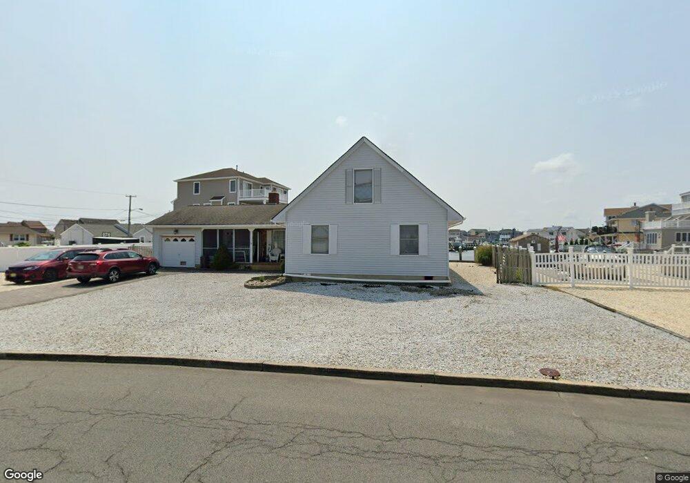
1210 Capstan Dr Forked River, NJ 08731
Estimated Value: $674,000 - $962,201
3
Beds
3
Baths
2,246
Sq Ft
$390/Sq Ft
Est. Value
About This Home
This home is located at 1210 Capstan Dr, Forked River, NJ 08731 and is currently estimated at $875,800, approximately $389 per square foot. 1210 Capstan Dr is a home located in Ocean County with nearby schools including Lacey Township High School.
Ownership History
Date
Name
Owned For
Owner Type
Purchase Details
Closed on
Aug 25, 2005
Sold by
Amory Hudson B
Bought by
Osowiecky Thomas J and Comiskey Janice A
Current Estimated Value
Home Financials for this Owner
Home Financials are based on the most recent Mortgage that was taken out on this home.
Original Mortgage
$200,000
Interest Rate
5.35%
Mortgage Type
Fannie Mae Freddie Mac
Create a Home Valuation Report for This Property
The Home Valuation Report is an in-depth analysis detailing your home's value as well as a comparison with similar homes in the area
Home Values in the Area
Average Home Value in this Area
Purchase History
| Date | Buyer | Sale Price | Title Company |
|---|---|---|---|
| Osowiecky Thomas J | $525,000 | Safeguard Title Agency |
Source: Public Records
Mortgage History
| Date | Status | Borrower | Loan Amount |
|---|---|---|---|
| Closed | Osowiecky Thomas J | $200,000 |
Source: Public Records
Tax History
| Year | Tax Paid | Tax Assessment Tax Assessment Total Assessment is a certain percentage of the fair market value that is determined by local assessors to be the total taxable value of land and additions on the property. | Land | Improvement |
|---|---|---|---|---|
| 2025 | $12,688 | $463,900 | $249,500 | $214,400 |
| 2024 | $10,990 | $463,900 | $249,500 | $214,400 |
| 2023 | $10,498 | $463,900 | $249,500 | $214,400 |
| 2022 | $10,498 | $463,900 | $249,500 | $214,400 |
| 2021 | $10,322 | $463,900 | $249,500 | $214,400 |
| 2020 | $9,992 | $463,900 | $249,500 | $214,400 |
| 2019 | $9,816 | $463,900 | $249,500 | $214,400 |
| 2018 | $9,700 | $463,900 | $249,500 | $214,400 |
| 2017 | $9,477 | $463,900 | $249,500 | $214,400 |
| 2016 | $9,440 | $463,900 | $249,500 | $214,400 |
| 2015 | $9,018 | $463,900 | $249,500 | $214,400 |
| 2014 | $9,030 | $525,000 | $349,500 | $175,500 |
Source: Public Records
Map
Nearby Homes
- 1025 Capstan Dr
- 814 Ensign Dr
- 986 Capstan Dr
- 0 Windward Dr Unit NJOC2039288
- 0 Windward Dr Unit 22601526
- 915 Shenandoah Dr
- 715 Richmond Dr
- 709 Richmond Dr
- 510 Conifer Dr
- 1029 Bowsprit Point
- 0 Union Ct Unit 22605987
- 802 E Hickory Dr
- 606 Bowsprit Point
- 826 Hazelton Ave
- 1001 Painter Point
- 710 Hazelton Ave
- 821 Bunnell St
- 330 Riviera Dr
- 905 Clairmore Ave
- 416 Chestnut Dr
Your Personal Tour Guide
Ask me questions while you tour the home.