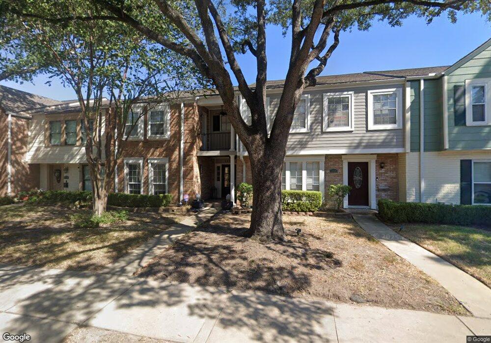
1210 Country Place Dr Houston, TX 77079
Energy Corridor NeighborhoodEstimated Value: $268,000 - $293,000
3
Beds
3
Baths
2,082
Sq Ft
$137/Sq Ft
Est. Value
About This Home
This home is located at 1210 Country Place Dr, Houston, TX 77079 and is currently estimated at $285,282, approximately $137 per square foot. 1210 Country Place Dr is a home located in Harris County with nearby schools including Thornwood Elementary School, Spring Forest Middle School, and Stratford High School.
Ownership History
Date
Name
Owned For
Owner Type
Purchase Details
Closed on
Dec 22, 2016
Sold by
Irvin Lara F
Bought by
Irvin John T
Current Estimated Value
Purchase Details
Closed on
Aug 31, 2010
Sold by
Stuart Joshua B and Stuart Rebecca H
Bought by
Irvin John T and Irvin Lara F
Home Financials for this Owner
Home Financials are based on the most recent Mortgage that was taken out on this home.
Original Mortgage
$116,800
Outstanding Balance
$77,673
Interest Rate
4.58%
Mortgage Type
New Conventional
Estimated Equity
$207,609
Purchase Details
Closed on
Feb 15, 2006
Sold by
Underhill Sarah Polk and Fine Carlotta Polk
Bought by
Stuart Joshua B and Stuart Rebecca H
Home Financials for this Owner
Home Financials are based on the most recent Mortgage that was taken out on this home.
Original Mortgage
$91,800
Interest Rate
6.15%
Mortgage Type
Fannie Mae Freddie Mac
Create a Home Valuation Report for This Property
The Home Valuation Report is an in-depth analysis detailing your home's value as well as a comparison with similar homes in the area
Home Values in the Area
Average Home Value in this Area
Purchase History
| Date | Buyer | Sale Price | Title Company |
|---|---|---|---|
| Irvin John T | -- | None Available | |
| Irvin John T | -- | Charter Title Company | |
| Stuart Joshua B | -- | Alamo Title Company |
Source: Public Records
Mortgage History
| Date | Status | Borrower | Loan Amount |
|---|---|---|---|
| Open | Irvin John T | $116,800 | |
| Previous Owner | Stuart Joshua B | $91,800 |
Source: Public Records
Tax History Compared to Growth
Tax History
| Year | Tax Paid | Tax Assessment Tax Assessment Total Assessment is a certain percentage of the fair market value that is determined by local assessors to be the total taxable value of land and additions on the property. | Land | Improvement |
|---|---|---|---|---|
| 2025 | $4,331 | $295,000 | $65,160 | $229,840 |
| 2024 | $4,331 | $306,657 | $65,160 | $241,497 |
| 2023 | $4,331 | $333,749 | $65,160 | $268,589 |
| 2022 | $6,172 | $278,448 | $65,160 | $213,288 |
| 2021 | $5,860 | $240,000 | $65,160 | $174,840 |
| 2020 | $5,888 | $235,000 | $65,160 | $169,840 |
| 2019 | $6,220 | $253,244 | $50,680 | $202,564 |
| 2018 | $2,114 | $216,000 | $50,680 | $165,320 |
| 2017 | $5,832 | $222,943 | $50,680 | $172,263 |
| 2016 | $5,415 | $207,000 | $36,200 | $170,800 |
| 2015 | $4,834 | $207,000 | $36,200 | $170,800 |
| 2014 | $4,834 | $181,607 | $28,960 | $152,647 |
Source: Public Records
Map
Nearby Homes
- 14322 Misty Meadow Ln
- 1310 Country Place Dr
- 1334 Country Place Dr
- 14387 Misty Meadow Ln
- 14311 Misty Meadow Ln
- 1381 Country Place Dr Unit 23
- 1147 Country Place Dr
- 14435 Misty Meadow Ln
- 14407 Still Meadow Dr
- 1071 Country Place Dr Unit 1071
- 14507 Misty Meadow Ln
- 14325 Lost Meadow Ln
- 14535 Misty Meadow Ln
- 14226 Misty Meadow Ln
- 14228 Misty Meadow Ln
- 14571 Misty Meadow Ln
- 14171 Misty Meadow Ln
- 14213 Lost Meadow Ln
- 880 Tully Rd Unit 40
- 880 Tully Rd Unit 29
- 1212 Country Place Dr
- 1214 Country Place Dr
- 1206 Country Place Dr
- 1204 Country Place Dr
- 1202 Country Place Dr
- 1200 Country Place Dr
- 14330 Misty Meadow Ln
- 14332 Misty Meadow Ln
- 14328 Misty Meadow Ln
- 14334 Misty Meadow Ln
- 14326 Misty Meadow Ln
- 1302 Country Place Dr
- 14336 Misty Meadow Ln
- 14338 Misty Meadow Ln
- 14340 Misty Meadow Ln
- 1304 Country Place Dr
- 14342 Misty Meadow Ln
- 1306 Country Place Dr
- 1324 Country Place Dr
- 14324 Misty Meadow Ln