Estimated Value: $188,000 - $223,963
4
Beds
1
Bath
1,720
Sq Ft
$119/Sq Ft
Est. Value
About This Home
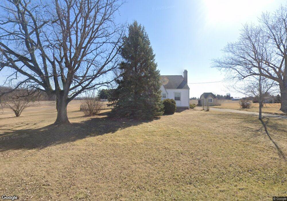
This home is located at 1210 County Road 50, Ada, OH 45810 and is currently estimated at $203,991, approximately $118 per square foot. 1210 County Road 50 is a home located in Hardin County with nearby schools including Ada Elementary School and Ada High School.
Ownership History
Date
Name
Owned For
Owner Type
Purchase Details
Closed on
Jul 21, 2016
Sold by
Keas Brian E
Bought by
Metcalf Cortney L and Metcalf Scott E
Current Estimated Value
Home Financials for this Owner
Home Financials are based on the most recent Mortgage that was taken out on this home.
Original Mortgage
$99,425
Outstanding Balance
$79,320
Interest Rate
3.56%
Mortgage Type
New Conventional
Estimated Equity
$124,671
Purchase Details
Closed on
Apr 4, 2014
Sold by
Wince James and Wince Anne
Bought by
Keas Brian E
Home Financials for this Owner
Home Financials are based on the most recent Mortgage that was taken out on this home.
Original Mortgage
$69,600
Interest Rate
3.36%
Mortgage Type
Purchase Money Mortgage
Purchase Details
Closed on
Apr 28, 2000
Bought by
Wince James and Anne Schwe
Create a Home Valuation Report for This Property
The Home Valuation Report is an in-depth analysis detailing your home's value as well as a comparison with similar homes in the area
Purchase History
| Date | Buyer | Sale Price | Title Company |
|---|---|---|---|
| Metcalf Cortney L | $102,500 | American Title Resources Inc | |
| Keas Brian E | -- | Superior Title | |
| Wince James | $89,000 | -- |
Source: Public Records
Mortgage History
| Date | Status | Borrower | Loan Amount |
|---|---|---|---|
| Open | Metcalf Cortney L | $99,425 | |
| Previous Owner | Keas Brian E | $69,600 |
Source: Public Records
Tax History
| Year | Tax Paid | Tax Assessment Tax Assessment Total Assessment is a certain percentage of the fair market value that is determined by local assessors to be the total taxable value of land and additions on the property. | Land | Improvement |
|---|---|---|---|---|
| 2024 | $1,643 | $43,730 | $11,380 | $32,350 |
| 2023 | $1,633 | $43,730 | $11,380 | $32,350 |
| 2022 | $1,515 | $35,340 | $5,990 | $29,350 |
| 2021 | $1,668 | $35,340 | $5,990 | $29,350 |
| 2020 | $1,691 | $35,340 | $5,990 | $29,350 |
| 2019 | $1,489 | $31,480 | $5,780 | $25,700 |
| 2018 | $1,459 | $31,480 | $5,780 | $25,700 |
| 2017 | $1,309 | $31,480 | $5,780 | $25,700 |
| 2016 | $1,197 | $27,920 | $5,250 | $22,670 |
| 2015 | $1,166 | $27,920 | $5,250 | $22,670 |
| 2014 | $1,168 | $27,920 | $5,250 | $22,670 |
| 2013 | $1,242 | $28,090 | $5,250 | $22,840 |
Source: Public Records
Map
Nearby Homes
- 1689 County Road 50
- 5594 County Road 35
- 820 S Main St
- 710 S Main St
- 210 N Gilbert St
- 722 S Johnson St
- 211 S Main St
- 327 W North Ave
- 2959 County Road 60
- 318 Willeke Ave
- 308-310 S Simon St
- 314 E University Ave
- 530 N Main St
- 629 N Main St
- 420 N Simon St
- 724 N Main St
- 510 E Lehr Ave Unit 510R
- 442 Edwards St
- 746 N Main St Unit 61
- 746 N Main St Unit 63
- 1210 C R 50
- 1210 Cr
- 1170 County Road 50
- 1294 County Road 50
- 1128 County Rd Unit 50
- 1128 County Rd
- 1128 County Road 50
- 1218 County Road 50
- 1060 County Road 50
- 1362 County Road 50
- 4090 Tr 25
- 4152 Tr
- 1408 County Road 50
- 1408 Cr
- 1425 County Road 50
- 4152 Township Road 25
- 3928 Township Road 25
- 1440 County Road 50
Your Personal Tour Guide
Ask me questions while you tour the home.