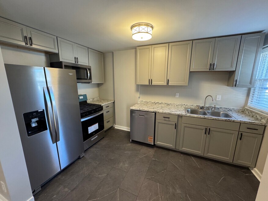
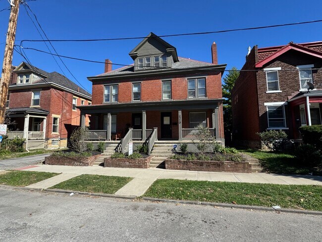
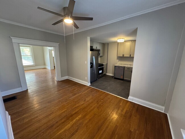


1210 Dennison Ave Unit 212 Columbus, OH 43201
Short North Neighborhood
2
Beds
1
Bath
1,300
Sq Ft
0.76
Acres
About This Home
This apartment is located at 1210 Dennison Ave Unit 212, Columbus, OH 43201 and is currently priced between $1,650. This property was built in 1900. 1210 Dennison Ave Unit 212 is a home located in Franklin County with nearby schools including Hubbard Elementary School, Dominion Middle School, and Whetstone High School.
Listing Provided By

Map
Property History
| Date | Event | Price | List to Sale | Price per Sq Ft | Prior Sale |
|---|---|---|---|---|---|
| 11/13/2025 11/13/25 | Price Changed | $1,650 | -5.7% | $1 / Sq Ft | |
| 10/22/2025 10/22/25 | For Rent | $1,750 | 0.0% | -- | |
| 07/31/2025 07/31/25 | Sold | $665,000 | -5.0% | $244 / Sq Ft | View Prior Sale |
| 06/04/2025 06/04/25 | For Sale | $699,900 | -- | $257 / Sq Ft |
Nearby Homes
- 63 Smith Place
- 1298 Hunter Ave
- 30 W 4th Ave
- 18 W 4th Ave
- 1145 N High St Unit 203
- 1145 N High St Unit 307
- 33 Clark Place Unit 35
- 1276 N High St Unit 206
- 154-156 W 6th Ave
- 6 1/2 Clark Place
- 93 King Ave Unit 95
- 66 E 4th Ave
- 17 W 3rd Ave Unit 212
- 17 W 3rd Ave Unit 213
- 42 King Ave
- 1105 Say Ave
- 1029 Hunter Ave
- 1025 Hunter Ave
- 100 E 4th Ave
- 1325 Indianola Ave Unit 325
- 65 Smith Place Unit 2
- 57 Smith Place
- 1145 N High St Unit 302
- 1145 N High St Unit 307
- 1145 N High St Unit 309
- 1235 Highland St Unit ID1265657P
- 1235 Highland St Unit ID1265643P
- 1180 N High St Unit ID1265649P
- 1180 N High St Unit ID1265610P
- 1180 N High St Unit ID1265615P
- 1254 N High St
- 1131 N High St Unit 202
- 210 W 5th Ave
- 1250 N High St
- 111 W 3rd Ave
- 1114 N High St
- 1079 N High St Unit . 505
- 1079 N High St Unit ID1257774P
- 1079 N High St Unit . 522
- 1104 1/2 N High St