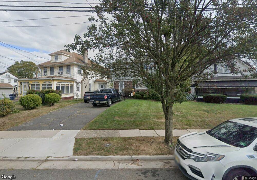
1210 E 2nd St Unit 12 Plainfield, NJ 07062
Estimated Value: $467,000 - $559,000
Studio
--
Bath
1,400
Sq Ft
$363/Sq Ft
Est. Value
About This Home
This home is located at 1210 E 2nd St Unit 12, Plainfield, NJ 07062 and is currently estimated at $507,696, approximately $362 per square foot. 1210 E 2nd St Unit 12 is a home located in Union County with nearby schools including Emerson Community School, Maxson Middle School, and Plainfield High School.
Ownership History
Date
Name
Owned For
Owner Type
Purchase Details
Closed on
Feb 28, 2016
Sold by
Williams Nicole S
Bought by
Williams Robert L
Current Estimated Value
Purchase Details
Closed on
Sep 19, 2002
Sold by
Elder Joseph
Bought by
Williams Robert and Williams Nicole
Home Financials for this Owner
Home Financials are based on the most recent Mortgage that was taken out on this home.
Original Mortgage
$177,500
Interest Rate
6.25%
Purchase Details
Closed on
May 12, 1997
Sold by
Solomon Philip
Bought by
Elder Joseph and Elder Shea E
Purchase Details
Closed on
Sep 10, 1993
Sold by
Dicks Wilbur
Bought by
Solomon Philip
Home Financials for this Owner
Home Financials are based on the most recent Mortgage that was taken out on this home.
Original Mortgage
$109,000
Interest Rate
7.1%
Create a Home Valuation Report for This Property
The Home Valuation Report is an in-depth analysis detailing your home's value as well as a comparison with similar homes in the area
Home Values in the Area
Average Home Value in this Area
Purchase History
| Date | Buyer | Sale Price | Title Company |
|---|---|---|---|
| Williams Robert L | $5,000 | -- | |
| Williams Robert | $187,500 | -- | |
| Elder Joseph | $126,000 | Chicago Title Insurance Co | |
| Solomon Philip | $115,000 | -- |
Source: Public Records
Mortgage History
| Date | Status | Borrower | Loan Amount |
|---|---|---|---|
| Previous Owner | Williams Robert | $177,500 | |
| Previous Owner | Solomon Philip | $109,000 |
Source: Public Records
Tax History
| Year | Tax Paid | Tax Assessment Tax Assessment Total Assessment is a certain percentage of the fair market value that is determined by local assessors to be the total taxable value of land and additions on the property. | Land | Improvement |
|---|---|---|---|---|
| 2025 | $10,365 | $118,700 | $31,600 | $87,100 |
| 2024 | $10,263 | $118,700 | $31,600 | $87,100 |
| 2023 | $10,263 | $118,700 | $31,600 | $87,100 |
| 2022 | $10,041 | $118,700 | $31,600 | $87,100 |
| 2021 | $9,953 | $118,700 | $31,600 | $87,100 |
| 2020 | $9,925 | $118,700 | $31,600 | $87,100 |
| 2019 | $9,925 | $118,700 | $31,600 | $87,100 |
| 2018 | $9,717 | $118,700 | $31,600 | $87,100 |
| 2017 | $9,479 | $118,700 | $31,600 | $87,100 |
| 2016 | $9,286 | $118,700 | $31,600 | $87,100 |
| 2015 | $9,012 | $118,700 | $31,600 | $87,100 |
| 2014 | -- | $118,700 | $31,600 | $87,100 |
Source: Public Records
Map
Nearby Homes
- 225 Sumner Ave Unit 27
- 125 Leland Ave Unit 27
- 124 Hillcrest Ave
- 1127 Earle Place Unit 29
- 1127-29 Earle Place
- 925 E Front St Unit 66
- 358-400 E 2nd St
- 935 E Front St Unit C
- 835 E 2nd St
- 836 E 2nd St Unit 38
- 1412 E 2nd St Unit 16
- 58 Raymond Ave
- 820 E 2nd St
- 56-58 Raymond Ave
- 162 Mali Dr
- 1107 North Ave Unit 11
- 1107-11 North Ave
- 814-20 E 3rd St
- 808 E 3rd St
- 812 George St Unit 18
- 1214 E 2nd St Unit 18
- 214 Emerson Ave Unit 16
- 1200 E 2nd St Unit 4
- 1200-04 E 2nd St
- 218 Emerson Ave
- 209 Leland Ave
- 157 Leland Ave Unit 61
- 220 Emerson Ave Unit 22
- 153-55 Leland Ave
- 153 Leland Ave Unit 55
- 211 Leland Ave Unit 13
- 224 Emerson Ave Unit 26
- 1224 E 2nd St Unit 30
- 224 Emerson Ave
- 211-13 Leland Ave
- 1211 E 2nd St Unit 15
- 215 Emerson Ave Unit 19
- 211 Emerson Ave Unit 13
- 149 Leland Ave Unit 51
- 149 Leland Ave
Your Personal Tour Guide
Ask me questions while you tour the home.