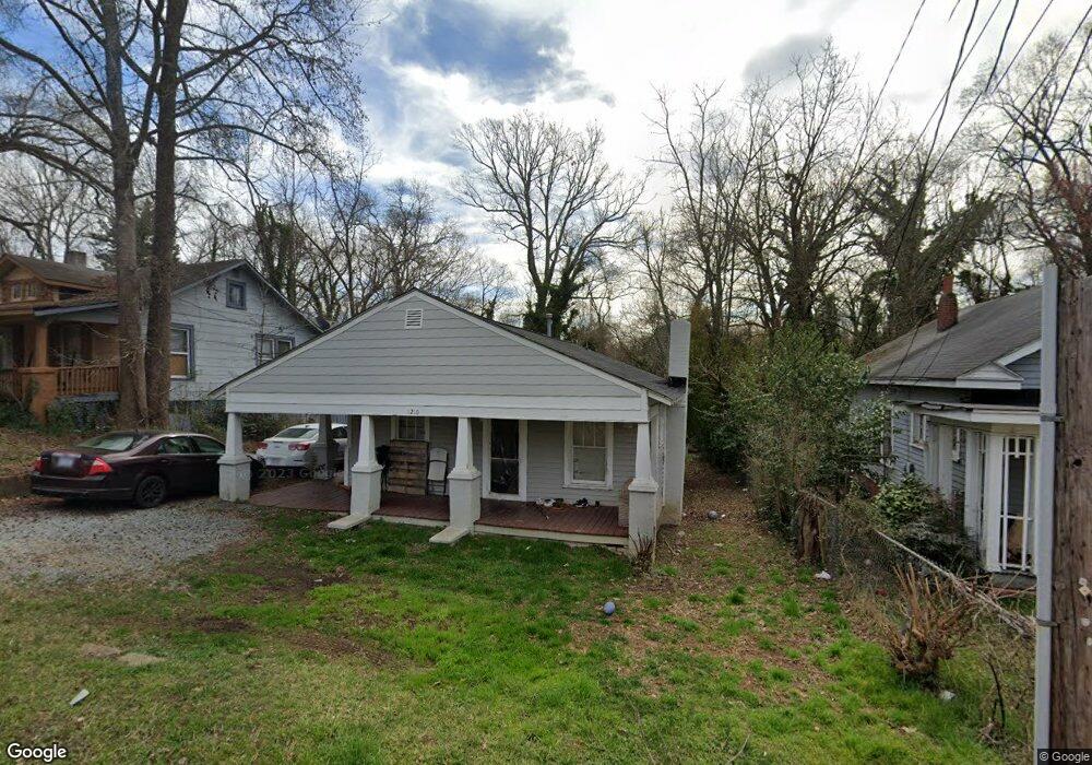
1210 E Russell Ave High Point, NC 27260
Greater High Point NeighborhoodEstimated Value: $87,000 - $126,000
2
Beds
1
Bath
1,020
Sq Ft
$96/Sq Ft
Est. Value
About This Home
This home is located at 1210 E Russell Ave, High Point, NC 27260 and is currently estimated at $98,176, approximately $96 per square foot. 1210 E Russell Ave is a home located in Guilford County with nearby schools including Fairview Elementary School, Ferndale Middle School, and High Point Central High School.
Ownership History
Date
Name
Owned For
Owner Type
Purchase Details
Closed on
Mar 28, 2018
Sold by
White Timothy L and White Kristen
Bought by
B & D Acquisitions Llc
Current Estimated Value
Purchase Details
Closed on
Dec 7, 2017
Sold by
Howard Rachel
Bought by
Ells Stephen J and White Timothy L
Purchase Details
Closed on
Dec 30, 2014
Sold by
Russell Avenue Trust and Duke Lisa D
Bought by
Howard Rachel
Purchase Details
Closed on
Oct 7, 2014
Sold by
Pope George E and Pope Lillian
Bought by
Russell Avenue Trust
Purchase Details
Closed on
May 31, 1984
Bought by
Russell Avenue Trust
Create a Home Valuation Report for This Property
The Home Valuation Report is an in-depth analysis detailing your home's value as well as a comparison with similar homes in the area
Home Values in the Area
Average Home Value in this Area
Purchase History
| Date | Buyer | Sale Price | Title Company |
|---|---|---|---|
| B & D Acquisitions Llc | $25,000 | None Available | |
| Ells Stephen J | $6,500 | None Available | |
| Howard Rachel | $6,000 | None Available | |
| Russell Avenue Trust | $6,500 | None Available | |
| Russell Avenue Trust | $6,500 | -- |
Source: Public Records
Tax History
| Year | Tax Paid | Tax Assessment Tax Assessment Total Assessment is a certain percentage of the fair market value that is determined by local assessors to be the total taxable value of land and additions on the property. | Land | Improvement |
|---|---|---|---|---|
| 2025 | $482 | $35,000 | $7,000 | $28,000 |
| 2024 | $482 | $35,000 | $7,000 | $28,000 |
| 2023 | $482 | $35,000 | $7,000 | $28,000 |
| 2022 | $472 | $35,000 | $7,000 | $28,000 |
| 2021 | $321 | $23,300 | $4,000 | $19,300 |
| 2020 | $321 | $23,300 | $4,000 | $19,300 |
| 2019 | $321 | $23,300 | $0 | $0 |
| 2018 | $319 | $23,300 | $0 | $0 |
| 2017 | $321 | $23,300 | $0 | $0 |
| 2016 | $316 | $22,500 | $0 | $0 |
| 2015 | $317 | $22,500 | $0 | $0 |
| 2014 | $323 | $22,500 | $0 | $0 |
Source: Public Records
Map
Nearby Homes
- 640 Wesley Dr
- 650 Wesley Dr
- 812 E Russell Ave
- 1601 E Green Dr
- 511 Hines St
- 1314 Franklin Ave
- 1012 Jefferson St
- 1103 Jefferson St
- 526 White Oak St
- 705 Wise Ave
- 1010 Grace St
- 518 Whiteoak St
- 1423 E Commerce Ave
- 809 E Green Dr
- 1021 Asheboro St
- 909 Randolph St
- 517 Walnut St
- 1110 Worth St
- 1114 Richland St
- 925 Randolph St
- 1208 E Russell Ave
- 1212 E Russell Ave
- 1216 E Russell Ave
- 1211 E Russell Ave
- 1213 E Russell Ave
- 1218 E Russell Ave
- 1403 Pershing St
- 1405 Pershing St
- 1215 Anderson
- 1215 E Russell Ave
- 1401 Pershing St
- 1407 Pershing St
- 1209 E Russell Ave
- 1409 Pershing St
- 1217 E Russell Ave
- 1311 Pershing St
- 1411 Pershing St
- 1219 E Russell Ave
- 808-812 Hines St
- 1221 E Russell Ave
Your Personal Tour Guide
Ask me questions while you tour the home.