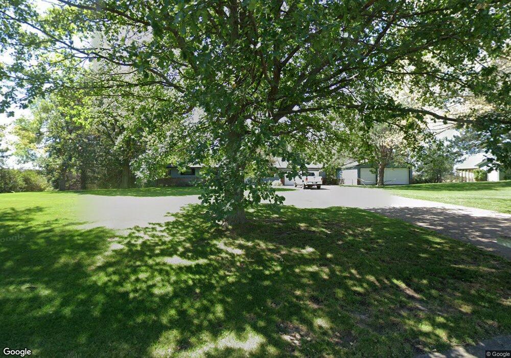
1210 Hilltop Cir North Platte, NE 69101
Estimated Value: $429,000 - $460,000
3
Beds
3
Baths
1,568
Sq Ft
$280/Sq Ft
Est. Value
About This Home
This home is located at 1210 Hilltop Cir, North Platte, NE 69101 and is currently estimated at $439,000, approximately $279 per square foot. 1210 Hilltop Cir is a home located in Lincoln County with nearby schools including North Platte High School.
Ownership History
Date
Name
Owned For
Owner Type
Purchase Details
Closed on
Jul 29, 2022
Sold by
Calvin Petersen
Bought by
Boyd David and Boyd Karlee
Current Estimated Value
Home Financials for this Owner
Home Financials are based on the most recent Mortgage that was taken out on this home.
Original Mortgage
$125,000
Outstanding Balance
$108,550
Interest Rate
4.58%
Estimated Equity
$330,450
Create a Home Valuation Report for This Property
The Home Valuation Report is an in-depth analysis detailing your home's value as well as a comparison with similar homes in the area
Home Values in the Area
Average Home Value in this Area
Purchase History
| Date | Buyer | Sale Price | Title Company |
|---|---|---|---|
| Boyd David | $392,000 | -- |
Source: Public Records
Mortgage History
| Date | Status | Borrower | Loan Amount |
|---|---|---|---|
| Open | Boyd David | $125,000 | |
| Previous Owner | Petersen Calvin | $289,000 | |
| Previous Owner | Hill Rocky T | $22,000 | |
| Previous Owner | Hill Rocky T | $26,000 | |
| Previous Owner | Weaver Walter R | $600,000 |
Source: Public Records
Tax History Compared to Growth
Tax History
| Year | Tax Paid | Tax Assessment Tax Assessment Total Assessment is a certain percentage of the fair market value that is determined by local assessors to be the total taxable value of land and additions on the property. | Land | Improvement |
|---|---|---|---|---|
| 2024 | $3,397 | $361,739 | $55,780 | $305,959 |
| 2023 | $4,514 | $328,442 | $55,780 | $272,662 |
| 2022 | $4,046 | $279,588 | $55,780 | $223,808 |
| 2021 | $4,079 | $279,588 | $55,780 | $223,808 |
| 2020 | $4,155 | $279,588 | $55,780 | $223,808 |
| 2019 | $4,089 | $274,195 | $62,664 | $211,531 |
| 2018 | $3,779 | $251,555 | $57,490 | $194,065 |
| 2017 | $3,801 | $251,555 | $57,490 | $194,065 |
| 2016 | $3,870 | $251,555 | $57,490 | $194,065 |
| 2014 | $3,825 | $234,295 | $48,865 | $185,430 |
Source: Public Records
Map
Nearby Homes
- 6740 Whisper Canyon Rd
- 221 Prairie Rd
- 2421 W State Farm Rd Unit North Platte NE 6910
- 2421 W State Farm Rd
- 0 State Farm Road Long Acreage W
- N Platte Unit NE 69101
- 0 State Farm Road Long Acreage E
- N Platte Unit NE 69101
- 0 S Buffalo Bill Development
- 0 State Farm Road Short Acreage E
- 0 Buffalo Triangle Frontage
- 0 State Farm Road Short Acreage W
- 0 Unit 11584518
- 0 N Buffalo Bill Grass
- 0 Unit Lot
- 200 College Dr
- 4820 Osborne Ln
- 4910 Osborne Ln
- 296 S Sagebrush Ln
- 276 S Sagebrush Ln
- LOT 20 Hilltop Cir
- 1 Hilltop Cir
- 1221 Hilltop Cir
- 1206 Hilltop Cir
- 1214 Hilltop Cir
- 1211 Hilltop Cir
- 1218 Hilltop Cir
- 1201 Hilltop Cir
- 1204 Apache Dr
- 1202 Hilltop Cir
- 1201 Apache Dr
- 1219 Hilltop Cir
- 1121 Otoe Trail
- 1120 Apache Dr
- 1120 Sioux Ln
- 6540 James Way Ct
- 1220 Hilltop Cir
- 214 Apache Ct
- 220 Apache Ct
- 1101 Sioux Ln