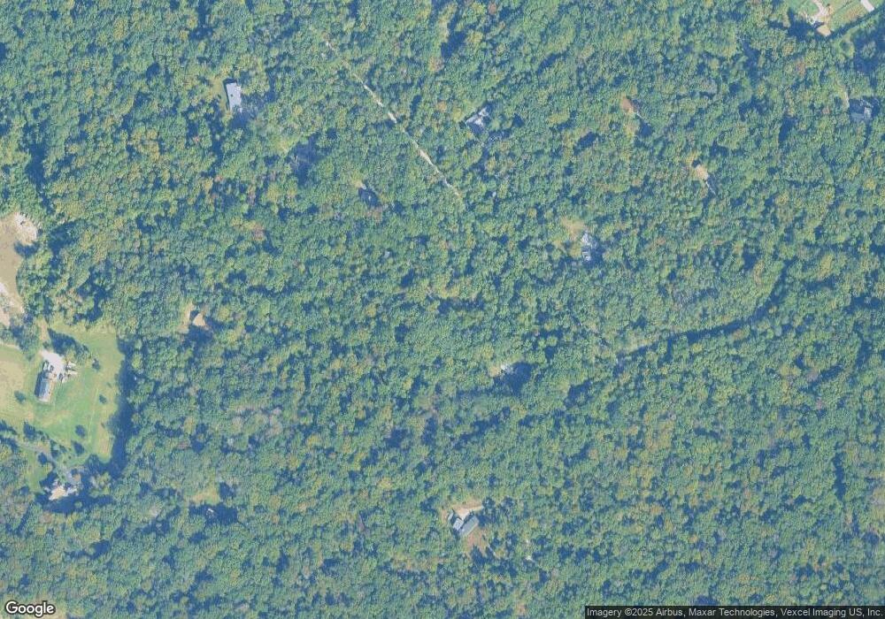
1210 Laurel Dr Accokeek, MD 20607
Estimated Value: $468,460 - $575,000
--
Bed
3
Baths
1,525
Sq Ft
$345/Sq Ft
Est. Value
About This Home
This home is located at 1210 Laurel Dr, Accokeek, MD 20607 and is currently estimated at $526,865, approximately $345 per square foot. 1210 Laurel Dr is a home located in Prince George's County with nearby schools including Accokeek Academy and Gwynn Park High School.
Ownership History
Date
Name
Owned For
Owner Type
Purchase Details
Closed on
Feb 26, 2007
Sold by
Keim Lori A
Bought by
Keim Lori A
Current Estimated Value
Home Financials for this Owner
Home Financials are based on the most recent Mortgage that was taken out on this home.
Original Mortgage
$28,000
Outstanding Balance
$16,910
Interest Rate
6.31%
Mortgage Type
Stand Alone Second
Estimated Equity
$509,955
Purchase Details
Closed on
Oct 30, 2006
Sold by
Keim Lori A
Bought by
Keim Lori A
Home Financials for this Owner
Home Financials are based on the most recent Mortgage that was taken out on this home.
Original Mortgage
$300,000
Interest Rate
8.62%
Mortgage Type
New Conventional
Purchase Details
Closed on
Nov 18, 2002
Sold by
Schallert William L
Bought by
Keim Lori A
Create a Home Valuation Report for This Property
The Home Valuation Report is an in-depth analysis detailing your home's value as well as a comparison with similar homes in the area
Home Values in the Area
Average Home Value in this Area
Purchase History
| Date | Buyer | Sale Price | Title Company |
|---|---|---|---|
| Keim Lori A | -- | -- | |
| Keim Lori A | -- | -- | |
| Keim Lori A | $235,500 | -- |
Source: Public Records
Mortgage History
| Date | Status | Borrower | Loan Amount |
|---|---|---|---|
| Open | Keim Lori A | $28,000 | |
| Open | Keim Lori A | $300,000 | |
| Closed | Keim Lori A | $28,000 | |
| Previous Owner | Keim Lori A | $300,000 |
Source: Public Records
Tax History Compared to Growth
Tax History
| Year | Tax Paid | Tax Assessment Tax Assessment Total Assessment is a certain percentage of the fair market value that is determined by local assessors to be the total taxable value of land and additions on the property. | Land | Improvement |
|---|---|---|---|---|
| 2025 | $5,532 | $376,233 | -- | -- |
| 2024 | $5,532 | $362,800 | $150,200 | $212,600 |
| 2023 | $5,356 | $345,967 | $0 | $0 |
| 2022 | $5,122 | $329,133 | $0 | $0 |
| 2021 | $4,896 | $312,300 | $150,200 | $162,100 |
| 2020 | $4,850 | $308,833 | $0 | $0 |
| 2019 | $4,776 | $305,367 | $0 | $0 |
| 2018 | $4,675 | $301,900 | $150,200 | $151,700 |
| 2017 | $4,582 | $293,667 | $0 | $0 |
| 2016 | -- | $285,433 | $0 | $0 |
| 2015 | $4,643 | $277,200 | $0 | $0 |
| 2014 | $4,643 | $277,200 | $0 | $0 |
Source: Public Records
Map
Nearby Homes
- 0 Laurel Dr Unit MDPG2164030
- 1160 Apple Valley Rd
- 1304 Bryan Point Rd
- 15905 Accolawn Rd
- Parcel 45 Bryan Point Rd
- 701 Farmington Rd W
- 701 Cedar Blvd
- 1717 Accokeek Rd W
- 800 Naeve Ct
- 15120 Reserve Rd
- 1701 Accokeek Rd W
- 801 Pennino Ct
- 1725 Accokeek Rd W
- 16000 Manning Rd W
- 0 Hidden Valley Rd
- 2720 Hidden Valley Rd
- 15805 Dyer Rd
- 2311 Rockwood Rd
- 15806 Dyer Rd
- 401 Bryan Point Rd
- 1300 Laurel Dr
- 1200 Laurel Dr
- 1301 Laurel Dr
- 1209 Laurel Dr
- 1400 Laurel Dr
- 1161 Apple Valley Rd
- 1500 Laurel Dr
- 1201 Laurel Dr
- 1150 Apple Valley Rd
- 1311 Laurel Dr
- 1133 Apple Valley Rd
- 1411 Laurel Dr
- 1140 Apple Valley Rd
- 1130 Apple Valley Rd
- 15630 Jamies Way
- 15620 Jamies Way
- 15700 Jamies Way
- 1507 Laurel Dr
- 15610 Jamies Way
- 1200 Apple Valley Rd
