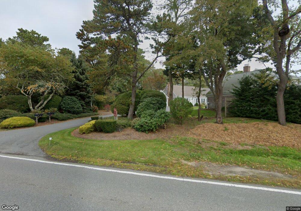
1210 Main St Unit B Dennis, MA 02638
East Dennis NeighborhoodEstimated Value: $560,000 - $878,000
3
Beds
3
Baths
2,201
Sq Ft
$337/Sq Ft
Est. Value
About This Home
This home is located at 1210 Main St Unit B, Dennis, MA 02638 and is currently estimated at $742,719, approximately $337 per square foot. 1210 Main St Unit B is a home located in Barnstable County with nearby schools including Dennis-Yarmouth Regional High School and Latham School.
Ownership History
Date
Name
Owned For
Owner Type
Purchase Details
Closed on
Jun 29, 2011
Sold by
Jane Rice Wolf Ret
Bought by
Wolf Rice C and Wolf Nancy G
Current Estimated Value
Home Financials for this Owner
Home Financials are based on the most recent Mortgage that was taken out on this home.
Original Mortgage
$180,000
Outstanding Balance
$124,476
Interest Rate
4.62%
Mortgage Type
Purchase Money Mortgage
Estimated Equity
$618,243
Purchase Details
Closed on
Mar 1, 2001
Sold by
Berry Barbara A
Bought by
Wolf Jane R
Create a Home Valuation Report for This Property
The Home Valuation Report is an in-depth analysis detailing your home's value as well as a comparison with similar homes in the area
Home Values in the Area
Average Home Value in this Area
Purchase History
| Date | Buyer | Sale Price | Title Company |
|---|---|---|---|
| Wolf Rice C | $352,500 | -- | |
| Wolf Jane R | $315,000 | -- |
Source: Public Records
Mortgage History
| Date | Status | Borrower | Loan Amount |
|---|---|---|---|
| Open | Wolf Rice C | $180,000 |
Source: Public Records
Tax History Compared to Growth
Tax History
| Year | Tax Paid | Tax Assessment Tax Assessment Total Assessment is a certain percentage of the fair market value that is determined by local assessors to be the total taxable value of land and additions on the property. | Land | Improvement |
|---|---|---|---|---|
| 2025 | $3,267 | $754,600 | $0 | $754,600 |
| 2024 | $3,089 | $703,600 | $0 | $703,600 |
| 2023 | $2,724 | $583,200 | $0 | $583,200 |
| 2022 | $2,634 | $470,300 | $0 | $470,300 |
| 2021 | $2,556 | $423,800 | $0 | $423,800 |
| 2020 | $2,538 | $416,000 | $0 | $416,000 |
| 2019 | $2,470 | $400,400 | $0 | $400,400 |
| 2018 | $2,420 | $381,700 | $0 | $381,700 |
| 2017 | $2,238 | $363,900 | $0 | $363,900 |
| 2016 | $2,267 | $347,100 | $0 | $347,100 |
| 2015 | $2,221 | $347,100 | $0 | $347,100 |
| 2014 | $2,204 | $347,100 | $0 | $347,100 |
Source: Public Records
Map
Nearby Homes
- 153 Sesuit Neck Rd
- 4 Maureens Way
- 1376 Bridge St Unit 16
- 18 Wendy Way
- 23 Stephen Phillips Rd
- 102 Prince Way
- 21 Compass Ln
- 1706 Massachusetts 6a Unit 3
- 1706 Route 6a Unit 3
- 43 Barque Cir
- 831 Main St
- 61 Barque Cir
- 40 Harbor Rd
- 25 Ronda Ln
- 55 Monument View Rd
- 59 Hope Ln
- 19 Deacon Joseph Ln
- 35 Crown Grant Dr
- 645 Main St Back Lot
- 15 Trudy Cir
- 1210 Main St Unit A
- 1210 Main St Unit 1210A
- 1210 Main St
- 1212 Main St Unit B
- 1212 Main St Unit A
- 1212 Main St
- 1212 Massachusetts 6a Unit B
- 1212 Route 6a Unit U-B
- 1212 Route 6a Unit B
- 1212 Route 6a Unit B
- 1212 Route 6a Unit A
- 1212 Main St Unit A
- 0 Paddocks Place Unit 14A
- 1214 Main St
- 1214 Main St Unit A
- 1214 Route 6a Unit B
- 1214 Main St Unit B
- 1214 Main St Unit A
- 1170 Main St
- 1170 Main St