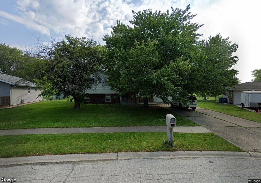
1210 Mallard Dr Bradley, IL 60915
Estimated Value: $228,000 - $257,000
3
Beds
2
Baths
1,496
Sq Ft
$164/Sq Ft
Est. Value
About This Home
This home is located at 1210 Mallard Dr, Bradley, IL 60915 and is currently estimated at $245,825, approximately $164 per square foot. 1210 Mallard Dr is a home located in Kankakee County with nearby schools including Bradley East Elementary School, Bradley West Elementary School, and Bradley Central Middle School.
Ownership History
Date
Name
Owned For
Owner Type
Purchase Details
Closed on
Aug 25, 2009
Sold by
Dorn John A & Sally K Trust
Bought by
Kimery Dominic M
Current Estimated Value
Home Financials for this Owner
Home Financials are based on the most recent Mortgage that was taken out on this home.
Original Mortgage
$137,464
Outstanding Balance
$91,306
Interest Rate
5.5%
Mortgage Type
FHA
Estimated Equity
$154,519
Create a Home Valuation Report for This Property
The Home Valuation Report is an in-depth analysis detailing your home's value as well as a comparison with similar homes in the area
Home Values in the Area
Average Home Value in this Area
Purchase History
| Date | Buyer | Sale Price | Title Company |
|---|---|---|---|
| Kimery Dominic M | $140,000 | Kankakee Cnty Title & Tr |
Source: Public Records
Mortgage History
| Date | Status | Borrower | Loan Amount |
|---|---|---|---|
| Open | Kimery Dominic M | $137,464 |
Source: Public Records
Tax History Compared to Growth
Tax History
| Year | Tax Paid | Tax Assessment Tax Assessment Total Assessment is a certain percentage of the fair market value that is determined by local assessors to be the total taxable value of land and additions on the property. | Land | Improvement |
|---|---|---|---|---|
| 2024 | $5,031 | $63,567 | $6,562 | $57,005 |
| 2023 | $4,613 | $56,828 | $6,076 | $50,752 |
| 2022 | $4,439 | $52,893 | $5,856 | $47,037 |
| 2021 | $4,183 | $49,807 | $5,727 | $44,080 |
| 2020 | $3,981 | $48,474 | $5,574 | $42,900 |
| 2019 | $3,882 | $45,460 | $5,412 | $40,048 |
| 2018 | $3,809 | $44,788 | $5,332 | $39,456 |
| 2017 | $3,792 | $43,696 | $5,202 | $38,494 |
| 2016 | $3,632 | $42,306 | $5,125 | $37,181 |
| 2015 | $3,463 | $40,471 | $5,074 | $35,397 |
| 2014 | $3,417 | $40,943 | $5,074 | $35,869 |
| 2013 | -- | $41,454 | $5,074 | $36,380 |
Source: Public Records
Map
Nearby Homes
- 1372 E Armour Rd
- 1078 Mallard Dr
- 1071 Mallard Dr
- 1507 Noble Quest Dr
- 1548 Amhurst Way
- 641 N Jackson Ave
- 100 Northbrooke Dr
- 608 Huntington Ct Unit 608
- 1355 N Arthur Burch Dr Unit R21
- 1355 N Arthur Burch Dr Unit F09
- 1355 N Arthur Burch Dr Unit R14
- 296 N Jackson Ave
- 289 N Jackson Ave
- 1802 Derby Dr
- 1900 Claire Dr
- 2033 Willow Brook Dr
- 2242 Crescent St
- 547 Hemlock Ln
- 245 N Tomagene Dr
- 2260 Trappers Ln
- 1190 Mallard Dr
- 1230 Mallard Dr
- 1215 Mallard Dr
- 1180 Mallard Dr
- 1250 Mallard Dr
- 1170 Mallard Dr
- 1336 Dove Ct
- 1342 Dove Ct
- 1199 Mallard Dr
- 1185 Pheasant Dr
- 1265 Mallard Dr
- 1366 Dove Ct
- 1224 Quail Dr
- 1178 Pheasant Dr
- 1248 Quail Dr
- 1348 Dove Ct
- 1354 Dove Ct
- 1171 Pheasant Dr
- 1160 Mallard Dr
- 1264 Quail Dr