1210 Meadow Dr Greensboro, GA 30642
Estimated Value: $398,404 - $2,283,000
--
Bed
2
Baths
1,908
Sq Ft
$638/Sq Ft
Est. Value
About This Home
This home is located at 1210 Meadow Dr, Greensboro, GA 30642 and is currently estimated at $1,217,351, approximately $638 per square foot. 1210 Meadow Dr is a home located in Greene County with nearby schools including Greene County High School.
Ownership History
Date
Name
Owned For
Owner Type
Purchase Details
Closed on
May 4, 2001
Sold by
Popp Timothy P
Bought by
Popp Timothy P and Popp Gail M
Current Estimated Value
Purchase Details
Closed on
Oct 6, 1998
Sold by
Merritt Reginald V and Merritt Miriam
Bought by
Popp Timothy P
Purchase Details
Closed on
Mar 20, 1997
Bought by
Merritt Reginald V and Merritt Miriam
Create a Home Valuation Report for This Property
The Home Valuation Report is an in-depth analysis detailing your home's value as well as a comparison with similar homes in the area
Home Values in the Area
Average Home Value in this Area
Purchase History
| Date | Buyer | Sale Price | Title Company |
|---|---|---|---|
| Popp Timothy P | -- | -- | |
| Popp Timothy P | $121,700 | -- | |
| Merritt Reginald V | -- | -- |
Source: Public Records
Tax History Compared to Growth
Tax History
| Year | Tax Paid | Tax Assessment Tax Assessment Total Assessment is a certain percentage of the fair market value that is determined by local assessors to be the total taxable value of land and additions on the property. | Land | Improvement |
|---|---|---|---|---|
| 2025 | $2,028 | $123,400 | $4,440 | $118,960 |
| 2024 | $1,993 | $113,160 | $4,440 | $108,720 |
| 2023 | $1,874 | $106,120 | $2,840 | $103,280 |
| 2022 | $1,851 | $95,760 | $2,840 | $92,920 |
| 2021 | $1,801 | $86,760 | $2,840 | $83,920 |
| 2020 | $1,518 | $65,560 | $7,960 | $57,600 |
| 2019 | $1,557 | $65,560 | $7,960 | $57,600 |
| 2018 | $1,537 | $65,560 | $7,960 | $57,600 |
| 2017 | $1,421 | $64,325 | $7,972 | $56,353 |
| 2016 | $1,433 | $65,036 | $7,972 | $57,064 |
| 2015 | $1,410 | $65,036 | $7,972 | $57,064 |
| 2014 | $1,356 | $60,794 | $7,972 | $52,822 |
Source: Public Records
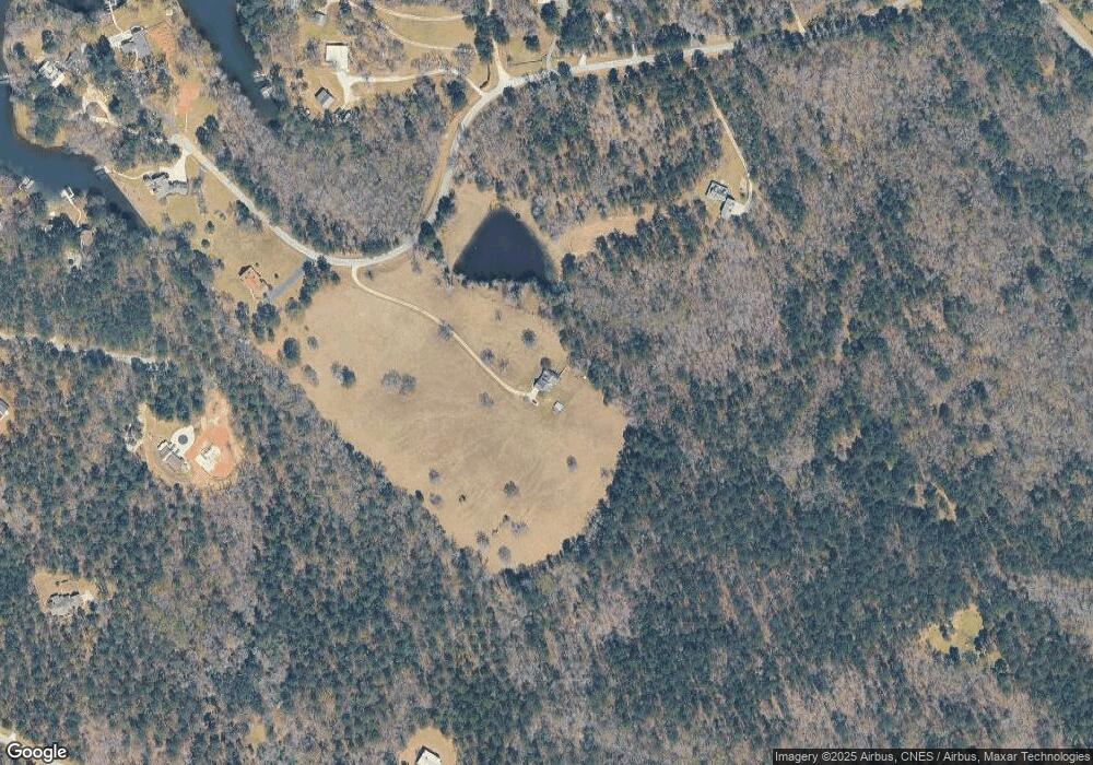
Map
Nearby Homes
- 1113 Wharfside Ct
- 1107 Wharfside Ct
- 1001 Shoal Creek Ct
- 1041 Shadow Creek Way
- 1131 Fleur de Lac Ln
- 2390 Club Dr
- 1070 Shadow Creek Way
- 2541 Club Dr
- 2660 Club Dr
- 1041 Pinehurst Dr
- 1091 Pinehurst Dr
- 1051 Pinehurst Dr
- 2691 Club Dr
- 1050 Spy Glass Hill
- 1071 Spy Glass Hill
- 1061 Oak Valley Rd
- 1230 Westchester
- 1651 Lighthouse Cir
- 1020 Oak Valley Rd
- 1010 Forrest Highlands
- 1090 Meadow Dr
- 1240 Meadow Dr
- 1161 Meadow Dr
- 1051 Ben Hammond Place
- 1010 Meadow Ln
- 1141 Meadow Dr
- 4501 Walker Church Rd
- 0 Old Rock Rd Unit 7127551
- 0 Old Rock Rd Unit LOT 6 7623889
- 0 Old Rock Rd Unit 58635
- 0 Old Rock Rd Unit 58208
- 0 Old Rock Rd Unit 56542
- 0 Old Rock Rd Unit 56541
- 0 Old Rock Rd Unit 41444
- 1020 Meadow Ln
- 0 Ap Roper Rd Unit 7127588
- 0 Ap Roper Rd Unit 7127541
- 0 Ap Roper Rd Unit LOT 2 7562429
- 0 Ben Hammond Dr Unit LOT 3 7562425
- 0 Ben Hammond Place Unit LOT 4 7577204