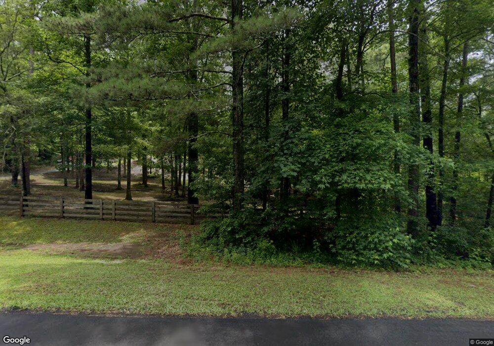
1210 Michael Rd Monroe, GA 30656
Estimated Value: $870,000 - $966,000
4
Beds
4
Baths
3,594
Sq Ft
$259/Sq Ft
Est. Value
About This Home
This home is located at 1210 Michael Rd, Monroe, GA 30656 and is currently estimated at $929,761, approximately $258 per square foot. 1210 Michael Rd is a home located in Walton County with nearby schools including Monroe Elementary School, Carver Middle School, and Monroe Area High School.
Ownership History
Date
Name
Owned For
Owner Type
Purchase Details
Closed on
Apr 8, 2025
Sold by
Fagan Carolyn M
Bought by
Christoher & Carolyn Fagan Living Trust and Fagan Carolyn Maria Tr
Current Estimated Value
Purchase Details
Closed on
Sep 6, 2011
Sold by
Goddard Thomas B
Bought by
Afb and T
Purchase Details
Closed on
May 28, 2010
Sold by
Cory Patrick T and Cory Joanna M
Bought by
Fagan Christopher J and Fagan Carolyn M
Home Financials for this Owner
Home Financials are based on the most recent Mortgage that was taken out on this home.
Original Mortgage
$150,000
Interest Rate
5.03%
Mortgage Type
New Conventional
Purchase Details
Closed on
Dec 31, 2007
Sold by
Damascus Hms Llc
Bought by
Cory Patrick T and Cory Joanna M
Home Financials for this Owner
Home Financials are based on the most recent Mortgage that was taken out on this home.
Original Mortgage
$417,000
Interest Rate
6.05%
Mortgage Type
New Conventional
Purchase Details
Closed on
May 25, 2005
Sold by
Nick Damon P
Bought by
Twr Construction
Home Financials for this Owner
Home Financials are based on the most recent Mortgage that was taken out on this home.
Original Mortgage
$210,000
Interest Rate
5.66%
Mortgage Type
Purchase Money Mortgage
Purchase Details
Closed on
Nov 22, 2004
Sold by
Palmer Jackie M
Bought by
Kennedy Howard S
Purchase Details
Closed on
Mar 6, 1991
Bought by
Steadfast Corporation Nv
Create a Home Valuation Report for This Property
The Home Valuation Report is an in-depth analysis detailing your home's value as well as a comparison with similar homes in the area
Home Values in the Area
Average Home Value in this Area
Purchase History
| Date | Buyer | Sale Price | Title Company |
|---|---|---|---|
| Christoher & Carolyn Fagan Living Trust | -- | -- | |
| Afb | -- | -- | |
| Fagan Christopher J | $349,900 | -- | |
| Cory Patrick T | $521,300 | -- | |
| Twr Construction | $42,000 | -- | |
| Kennedy Howard S | $47,800 | -- | |
| Steadfast Corporation Nv | $228,100 | -- |
Source: Public Records
Mortgage History
| Date | Status | Borrower | Loan Amount |
|---|---|---|---|
| Previous Owner | Fagan Christopher J | $150,000 | |
| Previous Owner | Cory Patrick T | $417,000 | |
| Previous Owner | Cory Patrick T | $22,150 | |
| Previous Owner | Twr Construction | $210,000 |
Source: Public Records
Tax History Compared to Growth
Tax History
| Year | Tax Paid | Tax Assessment Tax Assessment Total Assessment is a certain percentage of the fair market value that is determined by local assessors to be the total taxable value of land and additions on the property. | Land | Improvement |
|---|---|---|---|---|
| 2024 | $8,317 | $337,200 | $119,920 | $217,280 |
| 2023 | $7,780 | $299,000 | $99,960 | $199,040 |
| 2022 | $7,525 | $270,360 | $87,960 | $182,400 |
| 2021 | $6,780 | $228,800 | $69,960 | $158,840 |
| 2020 | $6,630 | $213,640 | $69,960 | $143,680 |
| 2019 | $6,457 | $186,040 | $49,960 | $136,080 |
| 2018 | $5,884 | $186,040 | $49,960 | $136,080 |
| 2017 | $5,611 | $162,840 | $49,960 | $112,880 |
| 2016 | $4,922 | $147,480 | $49,960 | $97,520 |
| 2015 | $4,764 | $140,560 | $49,960 | $90,600 |
| 2014 | $4,636 | $133,520 | $49,960 | $83,560 |
Source: Public Records
Map
Nearby Homes
- 1370 Michael Rd
- 1412 Palmer Dr
- 2033 Seclusion Trail
- 782 Michael Rd
- 2955 Hearn Rd NW
- 885 Cattle Barn Rd
- 2032 Seclusion Trail
- 3279 Tommy Dillard Rd
- 1580 Lakeland Dr
- 1537 Lakeland Dr
- 1186 Emmas Path
- 1811 Michael Rd
- 2500 Old Athens Hwy
- 1849 Bradley Gin Rd
- 440 Mount Vernon Rd NW
- 0 Hearn Rd NW Unit 10647785
- TRACT 8 Bradley Gin Rd
- TRACT 4 Bradley Gin Rd
- 1200 Michael Rd
- 1162 Michael Rd
- 1180 Michael Rd
- 1180 Michael Rd
- 1354 Michael Rd NW
- 003 Michael Rd NW
- 001 Michael Rd NW
- 002 Michael Rd NW
- Lot 10 Michael Rd
- Lot 9 Michael Rd
- 1142 Michael Rd
- 0000 Michael Rd NW Unit 1
- 000 Michael Rd NW Unit 3
- 000 Michael Rd NW Unit 2
- 000 Michael Rd NW
- 0000 Michael Rd NW
- 00 Michael Rd NW
- 000 Michael Rd NW Unit 3.3 ac
- 1211 Michael Rd
- 1270 Michael Rd
