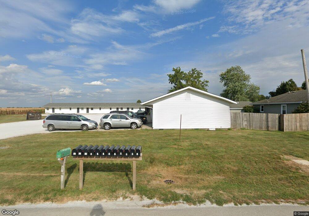
1210 N 7th St Auburn, IL 62615
Estimated Value: $216,000 - $274,000
--
Bed
--
Bath
--
Sq Ft
0.48
Acres
About This Home
This home is located at 1210 N 7th St, Auburn, IL 62615 and is currently estimated at $241,679. 1210 N 7th St is a home with nearby schools including Auburn Elementary School, Auburn Middle School, and Auburn Junior High School.
Ownership History
Date
Name
Owned For
Owner Type
Purchase Details
Closed on
May 24, 2011
Current Estimated Value
Purchase Details
Closed on
May 6, 2011
Purchase Details
Closed on
Apr 29, 2011
Purchase Details
Closed on
Apr 26, 2011
Purchase Details
Closed on
Feb 24, 2011
Purchase Details
Closed on
Feb 14, 2008
Purchase Details
Closed on
Sep 22, 1995
Create a Home Valuation Report for This Property
The Home Valuation Report is an in-depth analysis detailing your home's value as well as a comparison with similar homes in the area
Home Values in the Area
Average Home Value in this Area
Purchase History
| Date | Buyer | Sale Price | Title Company |
|---|---|---|---|
| -- | -- | -- | |
| -- | -- | -- | |
| -- | $650,000 | -- | |
| -- | -- | -- | |
| -- | -- | -- | |
| -- | -- | -- | |
| -- | $67,000 | -- |
Source: Public Records
Tax History Compared to Growth
Tax History
| Year | Tax Paid | Tax Assessment Tax Assessment Total Assessment is a certain percentage of the fair market value that is determined by local assessors to be the total taxable value of land and additions on the property. | Land | Improvement |
|---|---|---|---|---|
| 2024 | $4,396 | $75,764 | $12,208 | $63,556 |
| 2023 | $4,253 | $69,286 | $11,164 | $58,122 |
| 2022 | $3,987 | $65,599 | $10,570 | $55,029 |
| 2021 | $3,887 | $62,997 | $10,151 | $52,846 |
| 2020 | $3,885 | $62,778 | $10,116 | $52,662 |
| 2019 | $3,805 | $61,223 | $9,865 | $51,358 |
| 2018 | $3,739 | $59,958 | $9,661 | $50,297 |
| 2017 | $3,749 | $57,735 | $9,303 | $48,432 |
| 2016 | $3,605 | $57,374 | $9,245 | $48,129 |
| 2015 | $3,661 | $56,705 | $9,137 | $47,568 |
| 2014 | $3,657 | $57,586 | $9,279 | $48,307 |
| 2013 | $3,335 | $55,693 | $8,974 | $46,719 |
Source: Public Records
Map
Nearby Homes
- 1214 W Jefferson St Unit 1
- 158 E Monroe St
- 108 N Rose Dr
- 3926 Circle Dr Unit 1
- 10553 S Main St Unit 1
- 108 Kodiak Dr
- 34 Buckingham Rd Unit 1
- 0 State Route 4
- 530 S Grand Ave
- 26 Circle
- 448 Wintergreen Dr
- 309 Dewberry Trail
- 6716 Tower Heights Rd
- 233 W South St Unit 1
- 337 Keystone Dr
- 510 E Chestnut St Unit 1
- 802 E Locust St
- 1 Henrietta
- 327 Aspen Dr
- 404 Sundown Ln
- 1200 N 7th St
- 712 Senseney Ave
- 714 Senseney Ave
- 13560 N State Route 4
- 13640 N State Route 4
- 13640 Illinois 4
- 709 Senseney Ave
- 2 Santa fe Dr Unit 1
- 707 Senseney Ave
- 1108 N 7th St
- 4 Santa fe Dr Unit 1
- 13501 N State Route 4
- 1113 Senseney Ave
- 13575 Illinois 4
- 13575 N State Route 4
- 6 Santa fe Dr Unit 1
- 1 Santa fe Dr Unit 1
- 1104 N 7th St Unit 1
- 10 Santa fe Dr Unit 1
- 5 Santa fe Dr Unit 1