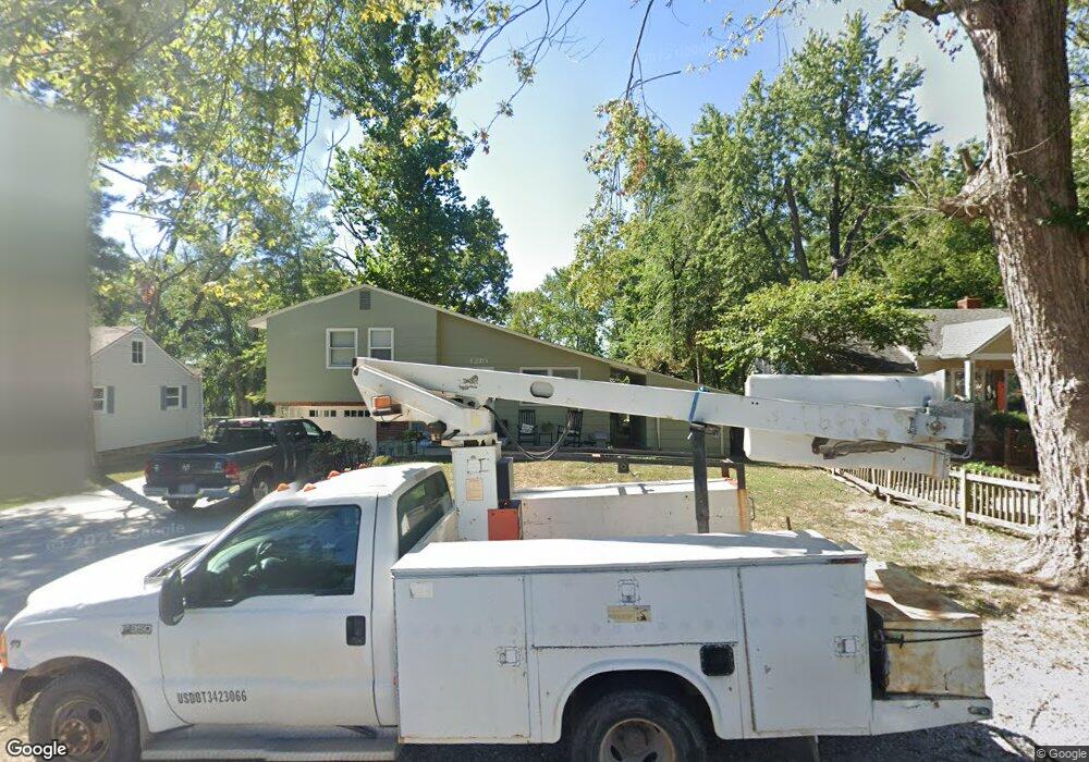
1210 NW B St Blue Springs, MO 64015
Estimated Value: $226,000 - $245,000
3
Beds
2
Baths
1,228
Sq Ft
$191/Sq Ft
Est. Value
About This Home
This home is located at 1210 NW B St, Blue Springs, MO 64015 and is currently estimated at $234,296, approximately $190 per square foot. 1210 NW B St is a home located in Jackson County with nearby schools including Thomas J. Ultican Elementary School, Paul Kinder Middle School, and Blue Springs High School.
Ownership History
Date
Name
Owned For
Owner Type
Purchase Details
Closed on
Jun 9, 2017
Sold by
Johnston Matthew Wayne
Bought by
Johnston Melanie Renee and Johnson Cassandra Mae
Current Estimated Value
Purchase Details
Closed on
Sep 3, 2008
Sold by
Johnston Melanie Renee
Bought by
Johnston Melanie Renee and Johnston Matthew Wayne
Purchase Details
Closed on
Feb 10, 1998
Sold by
Johnston Melanie R
Bought by
Johnston Melanie Renee and Yardley Kathleen Irene
Purchase Details
Closed on
Aug 30, 1996
Sold by
Johnston David W
Bought by
Johnston Melanie R
Create a Home Valuation Report for This Property
The Home Valuation Report is an in-depth analysis detailing your home's value as well as a comparison with similar homes in the area
Home Values in the Area
Average Home Value in this Area
Purchase History
| Date | Buyer | Sale Price | Title Company |
|---|---|---|---|
| Johnston Melanie Renee | -- | None Available | |
| Johnston Melanie Renee | -- | None Available | |
| Johnston Melanie Renee | -- | -- | |
| Johnston Melanie R | -- | -- |
Source: Public Records
Tax History Compared to Growth
Tax History
| Year | Tax Paid | Tax Assessment Tax Assessment Total Assessment is a certain percentage of the fair market value that is determined by local assessors to be the total taxable value of land and additions on the property. | Land | Improvement |
|---|---|---|---|---|
| 2025 | $2,046 | $27,640 | $16,654 | $10,986 |
| 2024 | $2,046 | $25,080 | $6,080 | $19,000 |
| 2023 | $2,976 | $37,189 | $3,821 | $33,368 |
| 2022 | $1,892 | $20,900 | $5,862 | $15,038 |
| 2021 | $1,890 | $20,900 | $5,862 | $15,038 |
| 2020 | $1,686 | $18,961 | $5,862 | $13,099 |
| 2019 | $1,630 | $18,961 | $5,862 | $13,099 |
| 2018 | $1,540 | $17,247 | $3,363 | $13,884 |
| 2017 | $1,540 | $17,247 | $3,363 | $13,884 |
| 2016 | $1,498 | $16,815 | $2,736 | $14,079 |
| 2014 | $1,468 | $16,422 | $2,551 | $13,871 |
Source: Public Records
Map
Nearby Homes
- 503 NW 15th St
- 1109 NW B St
- 305 NW 17th St
- 804 NW North Summit Cir
- 1705 SW Walnut St
- 804 NW Maynard St
- 1109 NW Mock Ave
- 2000 SW Smith St
- 318 SW 10th St
- 401 SW 18th St
- 510 SW 12 St
- 505 SW 18th St
- 723 NW 6th Street Terrace
- 1700 SW Mc Arthur St
- 2317 NW Kensington Ct
- 514 SW 10th St
- 205 NW 4th Street Ct
- 2508 NW Castle Dr
- 403 NW Lakeview Rd
- 913 NW Camelot Ct