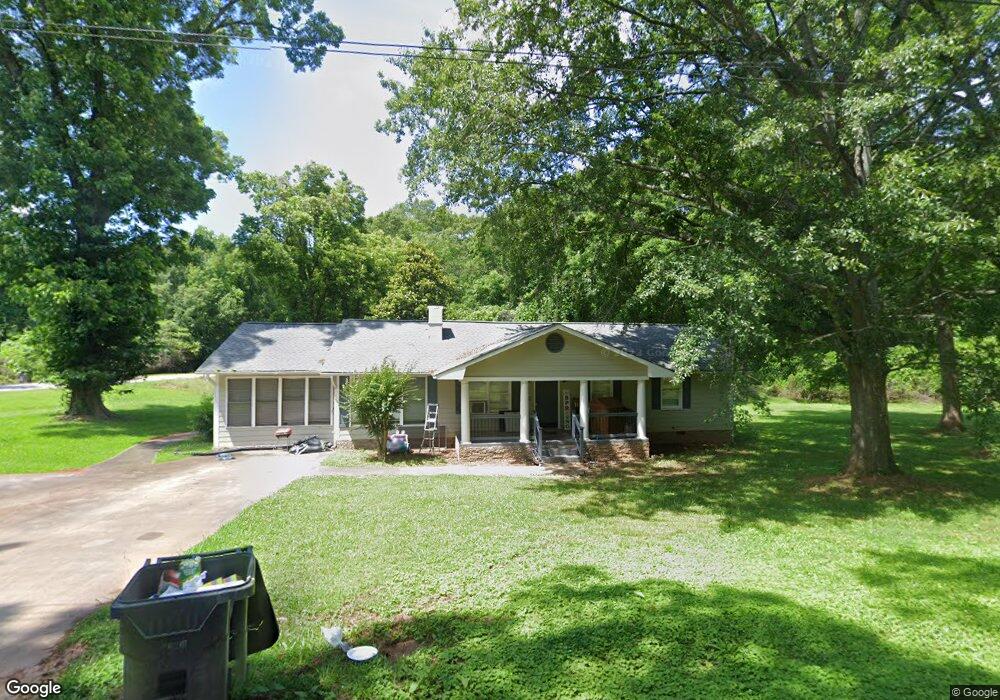
1210 Orear Rd Union Point, GA 30669
Estimated Value: $288,000 - $301,000
3
Beds
2
Baths
1,300
Sq Ft
$227/Sq Ft
Est. Value
About This Home
This home is located at 1210 Orear Rd, Union Point, GA 30669 and is currently estimated at $295,747, approximately $227 per square foot. 1210 Orear Rd is a home located in Greene County with nearby schools including Greene County High School.
Ownership History
Date
Name
Owned For
Owner Type
Purchase Details
Closed on
Dec 10, 2020
Sold by
Johnson Gregory
Bought by
Merritt Monica
Current Estimated Value
Home Financials for this Owner
Home Financials are based on the most recent Mortgage that was taken out on this home.
Original Mortgage
$156,120
Outstanding Balance
$138,925
Interest Rate
2.8%
Mortgage Type
FHA
Estimated Equity
$156,822
Purchase Details
Closed on
Jan 23, 2004
Sold by
Jackson Vernon A
Bought by
Johnson Gregory
Purchase Details
Closed on
Dec 6, 2000
Sold by
Stubbs Annie Christine Pledge
Bought by
Jackson Vernon-
Purchase Details
Closed on
Jan 1, 1988
Sold by
Pledger Annie Est
Bought by
Stubbs Annie Christine Pledge
Purchase Details
Closed on
Jan 1, 1934
Bought by
Pledger Annie Est
Create a Home Valuation Report for This Property
The Home Valuation Report is an in-depth analysis detailing your home's value as well as a comparison with similar homes in the area
Home Values in the Area
Average Home Value in this Area
Purchase History
| Date | Buyer | Sale Price | Title Company |
|---|---|---|---|
| Merritt Monica | $159,000 | -- | |
| Johnson Gregory | $91,300 | -- | |
| Jackson Vernon- | -- | -- | |
| Stubbs Annie Christine Pledge | -- | -- | |
| Pledger Annie Est | -- | -- |
Source: Public Records
Mortgage History
| Date | Status | Borrower | Loan Amount |
|---|---|---|---|
| Open | Merritt Monica | $156,120 |
Source: Public Records
Tax History Compared to Growth
Tax History
| Year | Tax Paid | Tax Assessment Tax Assessment Total Assessment is a certain percentage of the fair market value that is determined by local assessors to be the total taxable value of land and additions on the property. | Land | Improvement |
|---|---|---|---|---|
| 2024 | $1,925 | $77,560 | $6,600 | $70,960 |
| 2023 | $1,339 | $73,480 | $5,480 | $68,000 |
| 2022 | $1,116 | $55,480 | $4,200 | $51,280 |
| 2021 | $1,079 | $50,200 | $4,200 | $46,000 |
| 2020 | $784 | $30,920 | $2,000 | $28,920 |
| 2019 | $814 | $30,920 | $2,000 | $28,920 |
| 2018 | $675 | $30,920 | $2,000 | $28,920 |
| 2017 | $737 | $30,936 | $2,002 | $28,934 |
| 2016 | $765 | $31,751 | $2,002 | $29,749 |
| 2015 | $728 | $31,750 | $2,002 | $29,749 |
| 2014 | $730 | $31,031 | $2,002 | $29,029 |
Source: Public Records
Map
Nearby Homes
- 215 Hunter St
- 324 N Rhodes St
- 0 Washington Hwy Unit 7276060
- 0 Woodland Ct Unit 10543600
- 202 Veazey St
- 0 S Rhodes St Unit 10618488
- 112 Hendry St
- 1860 Washington Hwy
- 1041 Hillcrest Dr
- 1241 Old Siloam Rd
- 1251 Adams Rd
- 1581 Highway 77 S Hwy
- 1581 Highway 77 S
- 5401 Union Point Hwy
- 1201 Buffalo Lick Rd
- 0 Buffalo Lick Rd Unit 10551234
- 0 Buffalo Lick Rd Unit 10551325
- 0 Old Union Point Rd Unit 1 10557753
- 1251 Brick House Rd
- 1251 Brickhouse Rd
- 1021 Orear Rd
- 1321 Washington Hwy
- 1104 Crawfordville Rd
- 1113 Watson Ave
- 1203 Watson Ave
- 1191 Washington Hwy
- 308 Church St
- 1181 Washington Hwy
- 1171 Washington Hwy
- 1101 Watson Ave
- 1209 Watson Ave
- 1208 Watson Ave
- 317 Church St
- 1102 Watson Ave
- 309 Church St
- 1210 Watson Ave
- 1003 Crawfordville Rd
- 1350 Washington Hwy
- 1009 Watson Ave
- 1100 Watson Ave Unit 2