Estimated Value: $215,000 - $525,000
2
Beds
2
Baths
1,642
Sq Ft
$254/Sq Ft
Est. Value
About This Home
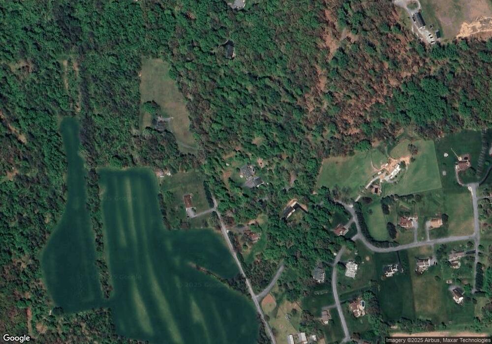
This home is located at 1210 Range Rd, York, PA 17406 and is currently estimated at $416,880, approximately $253 per square foot. 1210 Range Rd is a home located in York County with nearby schools including Eastern York High School.
Ownership History
Date
Name
Owned For
Owner Type
Purchase Details
Closed on
Jun 3, 2021
Sold by
Strom Steve A
Bought by
Strom Steve A and Strom Kerri Jo
Current Estimated Value
Home Financials for this Owner
Home Financials are based on the most recent Mortgage that was taken out on this home.
Original Mortgage
$260,000
Outstanding Balance
$197,408
Interest Rate
2.9%
Mortgage Type
New Conventional
Estimated Equity
$219,472
Purchase Details
Closed on
Oct 20, 2009
Sold by
Strom Steve A and Markley Tanya R
Bought by
Strom Steve A
Purchase Details
Closed on
Oct 31, 2006
Sold by
Seyler Gary T and Seyler Deborah A
Bought by
Strom Steve A and Markley Tanya R
Home Financials for this Owner
Home Financials are based on the most recent Mortgage that was taken out on this home.
Original Mortgage
$318,400
Interest Rate
6.48%
Mortgage Type
Purchase Money Mortgage
Create a Home Valuation Report for This Property
The Home Valuation Report is an in-depth analysis detailing your home's value as well as a comparison with similar homes in the area
Home Values in the Area
Average Home Value in this Area
Purchase History
| Date | Buyer | Sale Price | Title Company |
|---|---|---|---|
| Strom Steve A | -- | Members 1St Stlmt Co Llc | |
| Strom Steve A | -- | None Available | |
| Strom Steve A | $398,000 | None Available |
Source: Public Records
Mortgage History
| Date | Status | Borrower | Loan Amount |
|---|---|---|---|
| Open | Strom Steve A | $260,000 | |
| Closed | Strom Steve A | $318,400 |
Source: Public Records
Tax History Compared to Growth
Tax History
| Year | Tax Paid | Tax Assessment Tax Assessment Total Assessment is a certain percentage of the fair market value that is determined by local assessors to be the total taxable value of land and additions on the property. | Land | Improvement |
|---|---|---|---|---|
| 2025 | $7,571 | $207,810 | $56,880 | $150,930 |
| 2024 | $7,207 | $207,810 | $56,880 | $150,930 |
| 2023 | $7,207 | $207,810 | $56,880 | $150,930 |
| 2022 | $7,063 | $207,810 | $56,880 | $150,930 |
| 2021 | $6,856 | $207,810 | $56,880 | $150,930 |
| 2020 | $6,856 | $207,810 | $56,880 | $150,930 |
| 2019 | $6,563 | $207,810 | $56,880 | $150,930 |
| 2018 | $6,413 | $207,810 | $56,880 | $150,930 |
| 2017 | $6,241 | $207,810 | $56,880 | $150,930 |
| 2016 | $0 | $207,810 | $56,880 | $150,930 |
| 2015 | -- | $207,810 | $56,880 | $150,930 |
| 2014 | -- | $207,810 | $56,880 | $150,930 |
Source: Public Records
Map
Nearby Homes
- 310 Brooklyn Dr
- 537 Pine Dr
- 4220 Druck Valley Rd
- 170 Donrene Rd
- 20 Doersam Ct
- 4977 Ore Bank Rd
- 55 Burberry Ln
- 20 Burberry Ln
- 1801 Shawan Ln
- 4200 N Sherman Street Extension
- 3688 Pleasant Valley Rd
- 2372 Mount Zion Rd
- 3327 Deininger Rd
- 2280 Spangler Cir
- 3604 Pleasant Valley Rd Unit 2
- 3615 Pleasant Valley Rd
- 3333 Poses Place
- 3416 Overview Dr
- 425 Apple Tree Ln
- 3372 Overview Dr
- 4065 Deerhill Dr
- 1223 Range Rd
- 4079 Deerhill Dr
- 4079 Deerhill Dr Unit 3
- 4098 Deerhill Dr
- 1272 Range Rd
- 1136 Fawn Ct
- 1296 Range Rd
- 4097 Deerhill Dr
- 0 Deerhill Dr
- 1140 Fawn Ct
- 1123 Fawn Ct
- 4127 Deerhill Dr
- 4116 Deerhill Dr
- 1120 Fawn Ct
- 1120 Range Rd
- 4141 Deerhill Dr
- 4130 Deerhill Dr
- 1335 Range Rd
- 1105 Fawn Ct
