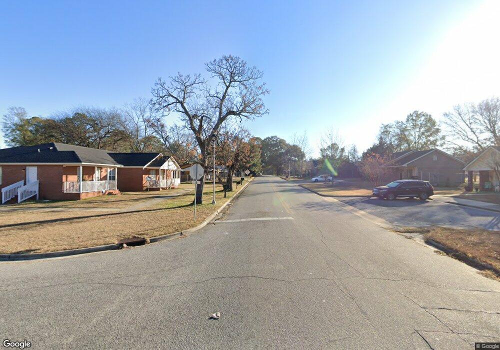
1210 S Davis St Albany, GA 31701
Estimated Value: $38,000 - $61,000
3
Beds
1
Bath
918
Sq Ft
$54/Sq Ft
Est. Value
About This Home
This home is located at 1210 S Davis St, Albany, GA 31701 and is currently estimated at $49,887, approximately $54 per square foot. 1210 S Davis St is a home located in Dougherty County with nearby schools including Alice Coachman Elementary School, Southside Middle School, and Monroe High School.
Ownership History
Date
Name
Owned For
Owner Type
Purchase Details
Closed on
Dec 24, 1997
Sold by
Favors Cora E
Bought by
Marshall Willie C
Current Estimated Value
Purchase Details
Closed on
Jun 14, 1995
Sold by
Warner Nathaniel
Bought by
Marshall Willie C and Favors Cora E
Purchase Details
Closed on
Oct 3, 1994
Sold by
Sneed Ernest
Bought by
Marshall Willie C
Purchase Details
Closed on
Dec 12, 1986
Sold by
Sneed Jim (Sneed Alice By Exec Of Will)
Bought by
Favors Cora Warner Mary and Sneed Ern
Create a Home Valuation Report for This Property
The Home Valuation Report is an in-depth analysis detailing your home's value as well as a comparison with similar homes in the area
Home Values in the Area
Average Home Value in this Area
Purchase History
| Date | Buyer | Sale Price | Title Company |
|---|---|---|---|
| Marshall Willie C | -- | -- | |
| Marshall Willie C | -- | -- | |
| Marshall Willie C | -- | -- | |
| Favors Cora Warner Mary | -- | -- |
Source: Public Records
Tax History Compared to Growth
Tax History
| Year | Tax Paid | Tax Assessment Tax Assessment Total Assessment is a certain percentage of the fair market value that is determined by local assessors to be the total taxable value of land and additions on the property. | Land | Improvement |
|---|---|---|---|---|
| 2024 | $350 | $13,600 | $1,080 | $12,520 |
| 2023 | $0 | $13,600 | $1,080 | $12,520 |
| 2022 | $340 | $13,600 | $1,080 | $12,520 |
| 2021 | $307 | $13,600 | $1,080 | $12,520 |
| 2020 | $308 | $13,600 | $1,080 | $12,520 |
| 2019 | $309 | $13,600 | $1,080 | $12,520 |
| 2018 | $310 | $13,600 | $1,080 | $12,520 |
| 2017 | $281 | $13,600 | $1,080 | $12,520 |
| 2016 | $281 | $13,600 | $1,080 | $12,520 |
| 2015 | $282 | $13,600 | $1,080 | $12,520 |
| 2014 | $273 | $13,520 | $1,000 | $12,520 |
Source: Public Records
Map
Nearby Homes
- 404 Cedar Ave
- 1505 Mcarthur St
- 604 Jefferies Ave
- 512 Cherry Ave
- 903 Dorsett Ave
- 807 Corn Ave
- 906 Holloway Ave
- 1627 Mcarthur St
- 612 Louis Ave
- 1207 S Cleveland St
- 611 Albert Ct
- 1407 S Cleveland St
- 704 W Lincoln Ave
- 420 Cotton Ave
- 418 Cotton Ave
- 600 W Lincoln Ave
- 417 Cotton Ave
- 635 Harmon Ave
- 2504 S Madison St
- 903 W Gordon Ave
- 1208 S Davis St
- 1212 S Davis St
- 1305 Hampton Ct
- 1309 Hampton Ct
- 1206 S Davis St
- 1300 S Davis St
- 1303 Hampton Ct
- 1311 Hampton Ct
- 1307 Hampton Ct
- 1211 S Davis St
- 1301 Hampton Ct
- 1213 S Davis St
- 1315 Hampton Ct
- 1204 S Davis St
- 1302 S Davis St
- 1207 S Davis St
- 1301 S Davis St
- 1317 Hampton Ct
- 1319 Hampton Ct
- 1321 Hampton Ct