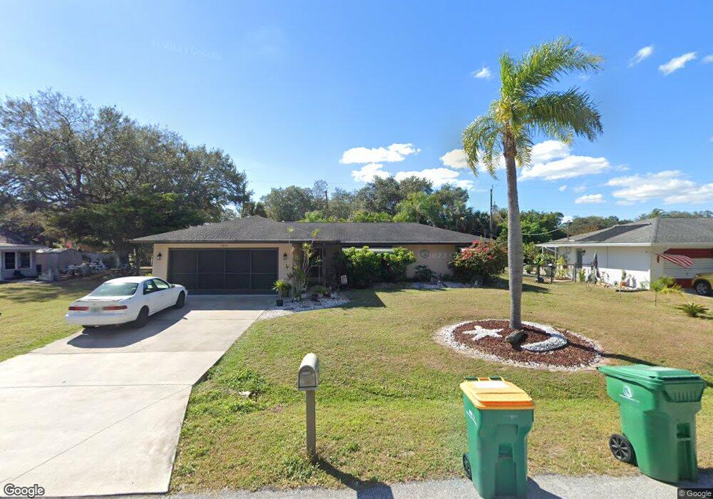
1210 Sheridan Dr NW Port Charlotte, FL 33948
Estimated Value: $243,882 - $315,000
4
Beds
2
Baths
1,955
Sq Ft
$143/Sq Ft
Est. Value
About This Home
This home is located at 1210 Sheridan Dr NW, Port Charlotte, FL 33948 and is currently estimated at $280,221, approximately $143 per square foot. 1210 Sheridan Dr NW is a home located in Charlotte County with nearby schools including Meadow Park Elementary School, Murdock Middle School, and Port Charlotte High School.
Ownership History
Date
Name
Owned For
Owner Type
Purchase Details
Closed on
Apr 25, 2002
Sold by
Yiengst Robbi L and Yiengst Angel M
Bought by
Yiengst Robbi L and Yiengst Angel M
Current Estimated Value
Home Financials for this Owner
Home Financials are based on the most recent Mortgage that was taken out on this home.
Original Mortgage
$62,000
Outstanding Balance
$26,081
Interest Rate
7.16%
Mortgage Type
Purchase Money Mortgage
Estimated Equity
$254,140
Purchase Details
Closed on
May 30, 1997
Sold by
Yanda Martha E
Bought by
Yiengst Robbi L and Mohr Angel M
Home Financials for this Owner
Home Financials are based on the most recent Mortgage that was taken out on this home.
Original Mortgage
$53,200
Interest Rate
8.18%
Create a Home Valuation Report for This Property
The Home Valuation Report is an in-depth analysis detailing your home's value as well as a comparison with similar homes in the area
Home Values in the Area
Average Home Value in this Area
Purchase History
| Date | Buyer | Sale Price | Title Company |
|---|---|---|---|
| Yiengst Robbi L | -- | -- | |
| Yiengst Robbi L | $56,000 | -- |
Source: Public Records
Mortgage History
| Date | Status | Borrower | Loan Amount |
|---|---|---|---|
| Open | Yiengst Robbi L | $62,000 | |
| Previous Owner | Yiengst Robbi L | $53,200 |
Source: Public Records
Tax History Compared to Growth
Tax History
| Year | Tax Paid | Tax Assessment Tax Assessment Total Assessment is a certain percentage of the fair market value that is determined by local assessors to be the total taxable value of land and additions on the property. | Land | Improvement |
|---|---|---|---|---|
| 2025 | $538 | $77,156 | -- | -- |
| 2024 | $1,267 | $74,982 | -- | -- |
| 2023 | $1,267 | $72,798 | $0 | $0 |
| 2022 | $1,216 | $70,678 | $0 | $0 |
| 2021 | $1,214 | $68,619 | $0 | $0 |
| 2020 | $540 | $67,672 | $0 | $0 |
| 2019 | $1,116 | $66,151 | $0 | $0 |
| 2018 | $1,025 | $64,918 | $0 | $0 |
| 2017 | $1,020 | $63,583 | $0 | $0 |
| 2016 | $1,018 | $62,275 | $0 | $0 |
| 2015 | $511 | $61,842 | $0 | $0 |
| 2014 | $511 | $61,351 | $0 | $0 |
Source: Public Records
Map
Nearby Homes
- 1181 Seacrest Dr NW
- 1190 Seacrest Dr NW
- 1035 Red Bay Terrace NW
- 1073 Arden Terrace NW
- 906 Bayard Terrace
- 2201 Hyatt Dr
- 2193 Hyatt Dr
- 19077 Cochran Blvd
- 1237 Pike Ave NW
- 948 Columbia Terrace
- 2120 Broad Ranch Dr
- 1030 Malay Terrace NW
- 1024 Malay Terrace NW
- 1042 Malay Terrace NW
- 931 Red Bay Terrace NW
- 1001 Malay Terrace NW
- 919 Phyllis Terrace
- 928 Tropical Ave NW
- 948 Tropical Ave NW
- 948 Andrews Ave NW
- 1220 Sheridan Dr NW
- 1036 Labelle Terrace NW
- 1201 Roswell Dr NW
- 1211 Roswell Dr NW
- 1221 Roswell Dr NW
- 1230 Sheridan Dr NW
- 1225 Sheridan Dr NW
- 1231 Roswell Dr NW
- 1240 Sheridan Dr NW
- 1201 Sheridan Dr NW
- 1041 Labelle Terrace NW
- 1033 Labelle Terrace NW
- 1235 Sheridan Dr NW
- 1049 Labelle Terrace NW
- 1241 Roswell Dr NW
- 1008 Labelle Terrace NW
- 1025 Labelle Terrace NW
- 1015 Vega Ave NW
- 1208 Roswell Dr NW
- 1057 Labelle Terrace NW