1210 Shorecrest Dr South Haven, MI 49090
Estimated Value: $971,233 - $1,245,000
--
Bed
3
Baths
2,428
Sq Ft
$461/Sq Ft
Est. Value
About This Home
This home is located at 1210 Shorecrest Dr, South Haven, MI 49090 and is currently estimated at $1,118,808, approximately $460 per square foot. 1210 Shorecrest Dr is a home located in Allegan County with nearby schools including Glenn Public School.
Ownership History
Date
Name
Owned For
Owner Type
Purchase Details
Closed on
Aug 31, 2023
Sold by
Brisley Kimberly O
Bought by
Kimberly O Brisley Revocable Trust
Current Estimated Value
Purchase Details
Closed on
Feb 14, 2020
Sold by
Rzepczynski Leonard F and Rzepczynski Lohahna
Bought by
Scheerhorn Curtis
Purchase Details
Closed on
Jan 8, 2007
Sold by
The Carolyn A Hoskin Trust
Bought by
Rzepczynski Leonard F and Rzepczynski Lohahna
Purchase Details
Closed on
Jul 7, 1998
Sold by
Hoskin Philip and Hoskin Carolyn
Bought by
Hoskin Carolyn A Trust
Create a Home Valuation Report for This Property
The Home Valuation Report is an in-depth analysis detailing your home's value as well as a comparison with similar homes in the area
Home Values in the Area
Average Home Value in this Area
Purchase History
| Date | Buyer | Sale Price | Title Company |
|---|---|---|---|
| Kimberly O Brisley Revocable Trust | -- | None Listed On Document | |
| Kimberly O Brisley Revocable Trust | -- | None Listed On Document | |
| Scheerhorn Curtis | $333,000 | Chicago Title Of Mi Inc | |
| Rzepczynski Leonard F | $1,315,000 | None Available | |
| Hoskin Carolyn A Trust | -- | -- |
Source: Public Records
Tax History Compared to Growth
Tax History
| Year | Tax Paid | Tax Assessment Tax Assessment Total Assessment is a certain percentage of the fair market value that is determined by local assessors to be the total taxable value of land and additions on the property. | Land | Improvement |
|---|---|---|---|---|
| 2025 | $7,466 | $488,200 | $215,600 | $272,600 |
| 2024 | $6,395 | $414,400 | $186,200 | $228,200 |
| 2023 | $6,395 | $294,400 | $84,000 | $210,400 |
| 2022 | $6,395 | $281,300 | $84,000 | $197,300 |
| 2021 | $7,001 | $279,300 | $94,500 | $184,800 |
| 2020 | $7,001 | $326,600 | $136,500 | $190,100 |
| 2019 | $8,036 | $542,700 | $235,000 | $307,700 |
| 2018 | $0 | $502,100 | $250,000 | $252,100 |
| 2017 | $0 | $462,000 | $240,000 | $222,000 |
| 2016 | $0 | $366,400 | $225,000 | $141,400 |
| 2015 | -- | $366,400 | $225,000 | $141,400 |
| 2014 | -- | $407,300 | $225,000 | $182,300 |
| 2013 | -- | $441,100 | $250,000 | $191,100 |
Source: Public Records
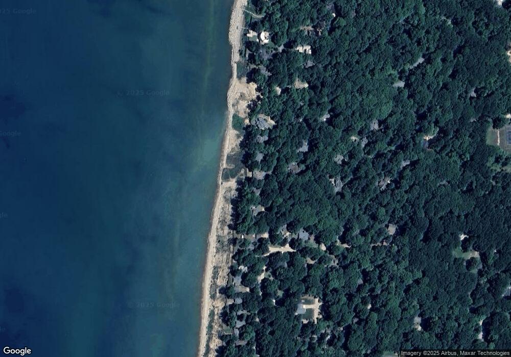
Map
Nearby Homes
- 1228 Shore Crest Dr
- 1178 Cherry Dr
- 7125 Maple Ave
- 997 S Lake Ln
- 1007 Orchard Ave
- A.3 70th Street & 111th Ave
- D.2 70th St
- Lot 1 Christopher Ln
- Lot2 Christopher Ln
- C.3 70th St
- 1395 Blue Star Hwy
- 1466 Lakeshore Dr
- 1484 71st St
- E.2 70th St
- 0000 Blue Star Hwy
- 910 Adams Rd
- 1317 68th St
- 1113 68th St
- VL 68th St
- 6935 116th Ave
- 1211 Shorecrest Dr
- 1210 Shore Crest Dr
- 1218 Shore Crest Dr
- 1206 Shorecrest Dr
- 1222 Shore Crest Dr
- 1220 Ash Dr
- 1202 Shorecrest Dr
- 1222 Shorecrest Dr
- 1202 Shore Crest Dr
- 7117 Creekwood
- 7164 Creekwood
- 1196 Cherry Dr
- 0 Shore Crest Dr
- 1198 Cherry Dr
- 1194 Cherry Dr
- 7153 Maple Ave
- 1211 Ash Dr
- 1224 Ash Dr
- 1224 Ash Dr
- 0 Shore Crest Dr Unit 71011065398