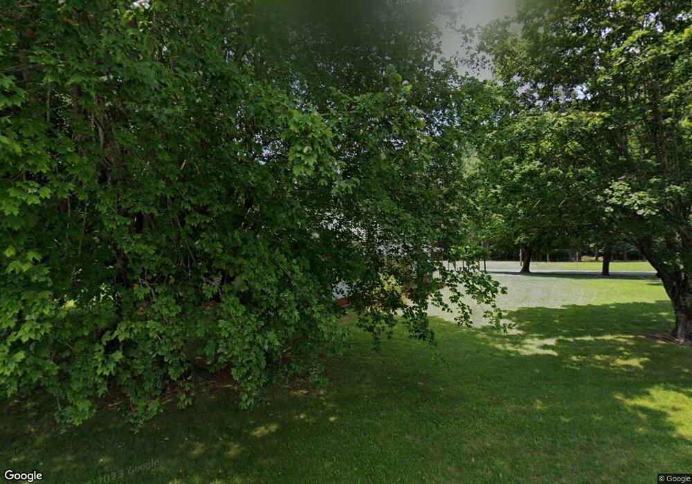
1210 Sides Rd Rockwell, NC 28138
Estimated Value: $188,486 - $265,000
--
Bed
1
Bath
1,040
Sq Ft
$228/Sq Ft
Est. Value
About This Home
This home is located at 1210 Sides Rd, Rockwell, NC 28138 and is currently estimated at $237,372, approximately $228 per square foot. 1210 Sides Rd is a home located in Rowan County with nearby schools including Ethan H Shive Elementary School, Charles C Erwin Middle School, and East Rowan High School.
Ownership History
Date
Name
Owned For
Owner Type
Purchase Details
Closed on
Aug 30, 2017
Sold by
Brown Darsie L and Brown Dennis L
Bought by
Brown David R and Brown Tamara R
Current Estimated Value
Home Financials for this Owner
Home Financials are based on the most recent Mortgage that was taken out on this home.
Original Mortgage
$80,000
Outstanding Balance
$43,233
Interest Rate
3.96%
Mortgage Type
New Conventional
Estimated Equity
$194,139
Purchase Details
Closed on
Jul 14, 2017
Sold by
Brown Kenneth E and Brown Rhonda T
Bought by
Brown Darsie Lee
Home Financials for this Owner
Home Financials are based on the most recent Mortgage that was taken out on this home.
Original Mortgage
$80,000
Outstanding Balance
$43,233
Interest Rate
3.96%
Mortgage Type
New Conventional
Estimated Equity
$194,139
Purchase Details
Closed on
Feb 9, 2005
Sold by
Brown Frank E and Brown Dorsie Lee
Bought by
Brown Frank E and Brown Dorsie Lee
Create a Home Valuation Report for This Property
The Home Valuation Report is an in-depth analysis detailing your home's value as well as a comparison with similar homes in the area
Home Values in the Area
Average Home Value in this Area
Purchase History
| Date | Buyer | Sale Price | Title Company |
|---|---|---|---|
| Brown David R | $125,000 | None Available | |
| Brown Darsie Lee | -- | None Available | |
| Brown Frank E | -- | -- |
Source: Public Records
Mortgage History
| Date | Status | Borrower | Loan Amount |
|---|---|---|---|
| Open | Brown David R | $80,000 |
Source: Public Records
Tax History Compared to Growth
Tax History
| Year | Tax Paid | Tax Assessment Tax Assessment Total Assessment is a certain percentage of the fair market value that is determined by local assessors to be the total taxable value of land and additions on the property. | Land | Improvement |
|---|---|---|---|---|
| 2025 | $1,085 | $161,979 | $82,419 | $79,560 |
| 2024 | $1,085 | $161,979 | $82,419 | $79,560 |
| 2023 | $1,085 | $161,979 | $82,419 | $79,560 |
| 2022 | $812 | $108,681 | $59,383 | $49,298 |
| 2021 | $812 | $108,681 | $59,383 | $49,298 |
| 2020 | $812 | $108,681 | $59,383 | $49,298 |
| 2019 | $812 | $108,681 | $59,383 | $49,298 |
| 2018 | $755 | $101,868 | $59,382 | $42,486 |
| 2017 | $501 | $101,868 | $59,382 | $42,486 |
| 2016 | $501 | $101,868 | $59,382 | $42,486 |
| 2015 | $509 | $101,868 | $59,382 | $42,486 |
| 2014 | $459 | $94,177 | $59,382 | $34,795 |
Source: Public Records
Map
Nearby Homes
- 000 Holshouser Rd
- 835 Holshouser Rd
- 226 Brooks Farm Dr
- 1315 Holshouser Rd
- 0 E Nc 152 Hwy Unit CAR4286385
- 460 Fisher Dr Unit 5
- 490 Fisher Dr Unit 4
- 110 Dutch Creek Rd
- 12003 Old Beatty Ford Rd
- 320 Carolina Ave
- 0 Cornelius Rd
- 160 Fletcher Rd
- 11155 & 11165 U S Route 52
- 11165 U S Route 52
- 11155 U S Route 52
- 0 U S Route 52
- 316 Middle Brook Dr
- Lot 11 Emanuel Church Rd
- 307 Gold Hill Ave
- 222 E Main St
- 5805 Highway 152 E
- 2070 Cannon Street Extension
- 2010 Cannon Street Extension
- 1980 Cannon Street Extension
- 2085 Cannon Street Extension
- 1960 Cannon Street Extension
- 402 Orchard Rd
- 1965 Cannon Street Extension
- 700 Holshouser Rd
- 1940 Cannon Street Extension
- 903 Holshouser Rd
- 1920 Cannon Street Extension
- 405 Orchard Rd
- 1880 Cannon Street Extension
- 805 Holshouser Rd
- 1010 Holshouser Rd
- 1850 Cannon Street Extension
- 1130 Holshouser Rd
- 1855 Cannon Street Extension
- 905 Holshouser Rd
