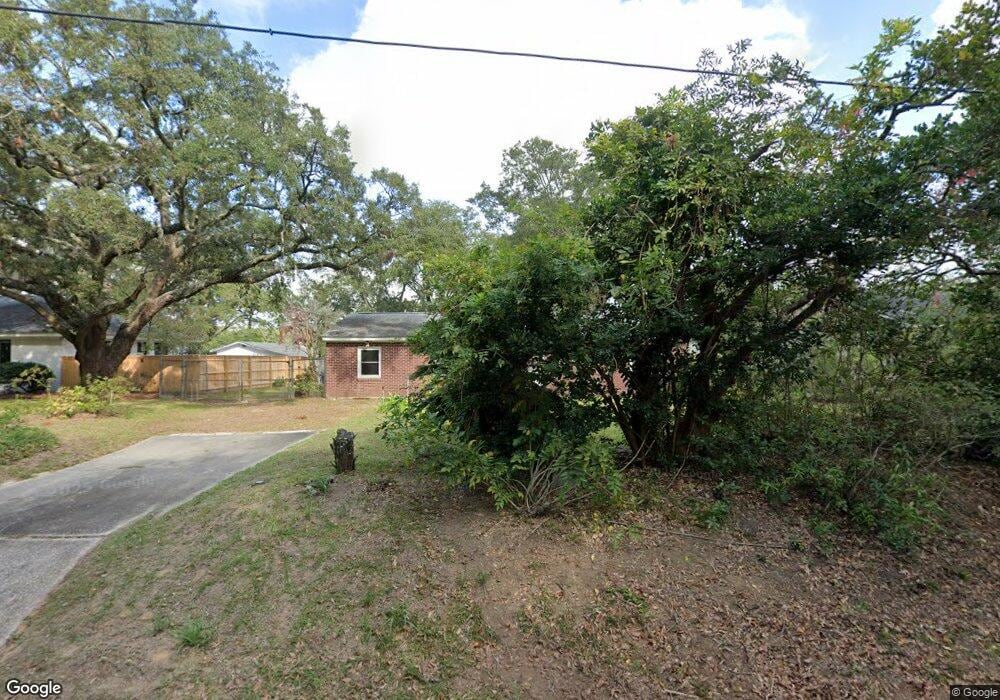
1210 Taliaferro Ave Charleston, SC 29412
James Island NeighborhoodEstimated Value: $506,000 - $603,355
2
Beds
1
Bath
925
Sq Ft
$595/Sq Ft
Est. Value
About This Home
This home is located at 1210 Taliaferro Ave, Charleston, SC 29412 and is currently estimated at $550,089, approximately $594 per square foot. 1210 Taliaferro Ave is a home located in Charleston County with nearby schools including Harbor View Elementary School, Camp Road Middle, and James Island Charter High School.
Ownership History
Date
Name
Owned For
Owner Type
Purchase Details
Closed on
Nov 4, 2013
Sold by
Jay Charlotte Tucker
Bought by
Jay Charlotte Tucker and Jay Richard Wayne
Current Estimated Value
Purchase Details
Closed on
Aug 13, 2007
Sold by
Tucker Engracia T
Bought by
Tucker Engracia T and Jay Charlotte Tucker
Purchase Details
Closed on
Feb 3, 2003
Sold by
Tucker Engracia T
Bought by
Tucker Engracia T
Purchase Details
Closed on
May 15, 2001
Sold by
White Janique L
Bought by
White Janique L and Young Sheronne M
Create a Home Valuation Report for This Property
The Home Valuation Report is an in-depth analysis detailing your home's value as well as a comparison with similar homes in the area
Home Values in the Area
Average Home Value in this Area
Purchase History
| Date | Buyer | Sale Price | Title Company |
|---|---|---|---|
| Jay Charlotte Tucker | -- | -- | |
| Tucker Engracia T | -- | Attorney | |
| Tucker Engracia T | -- | -- | |
| White Janique L | -- | -- |
Source: Public Records
Tax History Compared to Growth
Tax History
| Year | Tax Paid | Tax Assessment Tax Assessment Total Assessment is a certain percentage of the fair market value that is determined by local assessors to be the total taxable value of land and additions on the property. | Land | Improvement |
|---|---|---|---|---|
| 2024 | $4,366 | $15,760 | $0 | $0 |
| 2023 | $4,366 | $15,760 | $0 | $0 |
| 2022 | $3,989 | $15,760 | $0 | $0 |
| 2021 | $3,971 | $15,760 | $0 | $0 |
| 2020 | $3,887 | $15,760 | $0 | $0 |
| 2019 | $3,605 | $13,710 | $0 | $0 |
| 2017 | $3,530 | $13,710 | $0 | $0 |
| 2016 | $3,412 | $13,710 | $0 | $0 |
| 2015 | $3,266 | $13,710 | $0 | $0 |
| 2014 | $3,591 | $0 | $0 | $0 |
| 2011 | -- | $0 | $0 | $0 |
Source: Public Records
Map
Nearby Homes
- 1192 Julian Clark Rd Unit C11
- 1149 Quail Dr
- 1236 Midvale Ave
- 1004 Point of Light Ln
- 1129 Quail Dr
- 783 Dills Bluff Rd
- 779 Dills Bluff Rd
- 1632 N Relyea Ave
- 1076 Williams Rd
- 1232 W Capers Rd
- 1616 Relyea Ave
- 1225 Valley Forge Dr
- 1563 Relyea Ave
- 1581 Relyea Ave
- 804 Porcari St
- 816 Porcari St
- 27 Brockman Dr Unit 27B
- 1359 White House Blvd
- 1102 Williams Rd
- 1110 Darwin St
- 1212 Taliaferro Ave
- 1202 Taliaferro Ave
- 1200 Taliaferro Ave
- 1209 Taliaferro Ave
- 1211 Taliaferro Ave
- 1222 Taliaferro Ave
- 891 Simpkins St
- 922 Simpkins St
- 878 Simpkins St Unit A1
- 880 Simpkins St Unit A2
- 1219 Taliaferro Ave
- 882 Simpkins St Unit A3
- 886 Simpkins St Unit B5
- 884 Simpkins St Unit A4
- 1226 Taliaferro Ave
- 1225 Taliaferro Ave
- 888 Simpkins St Unit B6
- 890 Simpkins St Unit B7
- 1208 Julian Clark Rd
- 1214 Julian Clark Rd