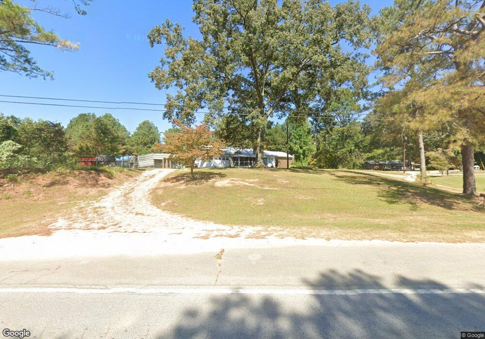
1210 U S Highway 78 Tallapoosa, GA 30176
Estimated Value: $146,544 - $317,000
2
Beds
2
Baths
1,426
Sq Ft
$169/Sq Ft
Est. Value
About This Home
This home is located at 1210 U S Highway 78, Tallapoosa, GA 30176 and is currently estimated at $241,386, approximately $169 per square foot. 1210 U S Highway 78 is a home located in Haralson County with nearby schools including Haralson County High School.
Ownership History
Date
Name
Owned For
Owner Type
Purchase Details
Closed on
Jun 23, 2005
Sold by
Rutherford Harris Leon
Bought by
Hulsey Frances H Barry S and Hulsey Frances H Joseph S
Current Estimated Value
Purchase Details
Closed on
Aug 3, 1998
Sold by
Hulsey Johnny H and Hulsey Fr
Bought by
Hulsey Frances Life Estate
Purchase Details
Closed on
Jan 14, 1997
Sold by
Hulsey Johnny
Bought by
Hulsey Johnny H and Hulsey Fr
Create a Home Valuation Report for This Property
The Home Valuation Report is an in-depth analysis detailing your home's value as well as a comparison with similar homes in the area
Home Values in the Area
Average Home Value in this Area
Purchase History
| Date | Buyer | Sale Price | Title Company |
|---|---|---|---|
| Hulsey Frances H Barry S | -- | -- | |
| Hulsey Frances Life Estate | -- | -- | |
| Hulsey Johnny H | -- | -- |
Source: Public Records
Tax History Compared to Growth
Tax History
| Year | Tax Paid | Tax Assessment Tax Assessment Total Assessment is a certain percentage of the fair market value that is determined by local assessors to be the total taxable value of land and additions on the property. | Land | Improvement |
|---|---|---|---|---|
| 2024 | $1,203 | $24,000 | $6,889 | $17,111 |
| 2023 | $51 | $21,010 | $6,044 | $14,967 |
| 2022 | $197 | $18,196 | $6,044 | $12,152 |
| 2021 | $325 | $17,686 | $6,044 | $11,642 |
| 2020 | $252 | $17,686 | $6,044 | $11,642 |
| 2019 | $238 | $16,819 | $6,044 | $10,775 |
| 2018 | $243 | $16,819 | $6,044 | $10,775 |
| 2017 | $216 | $15,150 | $6,044 | $9,106 |
| 2016 | $676 | $29,333 | $10,285 | $19,048 |
| 2015 | $662 | $28,928 | $10,285 | $18,643 |
| 2014 | $650 | $28,955 | $10,285 | $18,670 |
Source: Public Records
Map
Nearby Homes
- 10 + - Acres On J Davis Rd
- 78 Cook St
- 0 J Davis Rd Unit LotWP001
- 3055 Providence Church Rd
- 267 Williams Rd
- 3112 Providence Church Rd
- 302 Riverside Rd
- 295 J Davis Rd Unit LotWP001
- 2234 Providence Church Rd
- Off Us Hwy 78 Unit LotWP001
- 0 Providence Lake Rd Unit 10576961
- 110 Dunson Rd
- 20 S Kelley St
- 28 McDonald Ridge
- 124 S Kelley St
- 1304 Broad St
- 117 White St
- 77 McDonald Rd
- 135 Oakland Ct
- 1224 U S Highway 78
- 00 Cook St
- 011 Cook St
- 0 Cook St
- 0 Cook St Unit 20061684
- 0 Cook St Unit 7090630
- 0 Cook St Unit 7635086
- 0 Cook St Unit 8974712
- 0 Cook St Unit 8735015
- 0 Cook St Unit 8083684
- 0 Cook St Unit 8749508
- 0 Cook St Unit 8591706
- 0 Cook St Unit 8884316
- 0 Cook St Unit 7060484
- 0 Cook St Unit 8116250
- 0 Cook St Unit 8670528
- 1232 U S Highway 78
- 12 Cook St
- 1172 U S Highway 78
- 13 Cook St