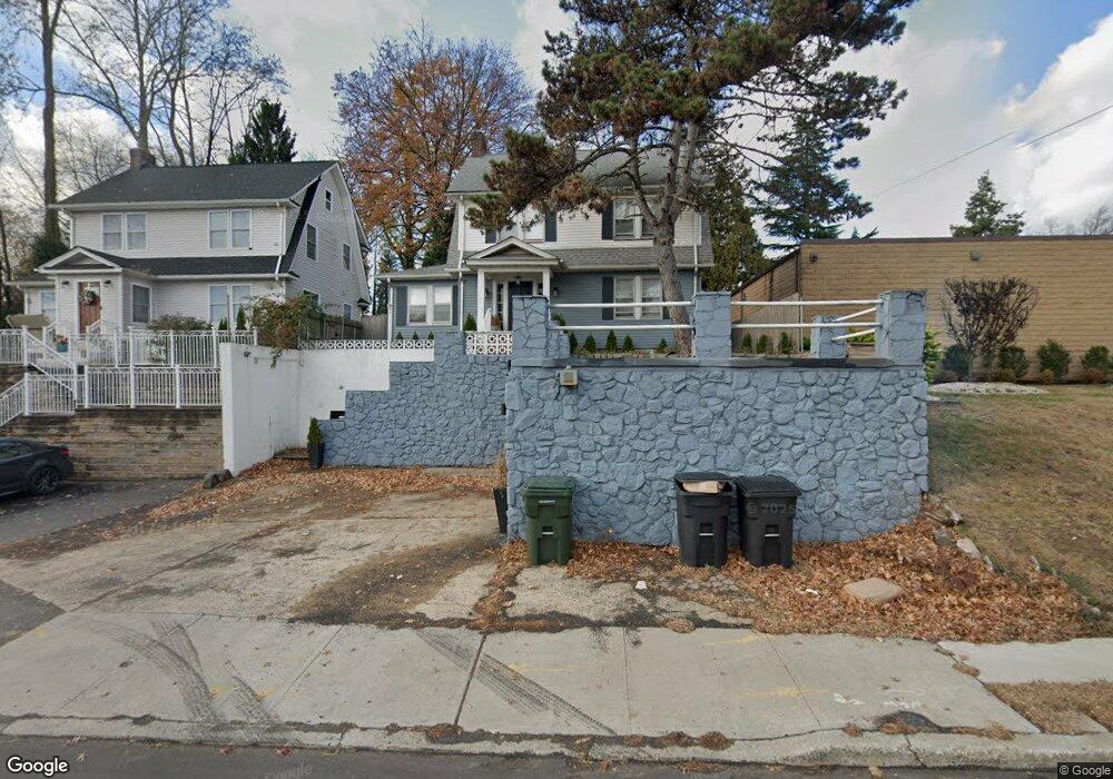
1210 Us Highway 22 Unit 1 Mountainside, NJ 07092
Estimated Value: $485,000 - $644,813
3
Beds
2
Baths
1,432
Sq Ft
$421/Sq Ft
Est. Value
About This Home
This home is located at 1210 Us Highway 22 Unit 1, Mountainside, NJ 07092 and is currently estimated at $603,203, approximately $421 per square foot. 1210 Us Highway 22 Unit 1 is a home located in Union County with nearby schools including Beechwood School, Deerfield Elementary School, and St James The Apostle School.
Ownership History
Date
Name
Owned For
Owner Type
Purchase Details
Closed on
Dec 7, 2022
Sold by
1210 Us Highway 22 Llc
Bought by
Aha Holding Group Llc
Current Estimated Value
Purchase Details
Closed on
Mar 29, 2021
Sold by
Twardowsky Vincent Daria and Estate Of Bill Vincent
Bought by
1210 Us Highway 22 Llc
Purchase Details
Closed on
Dec 20, 1993
Sold by
Romak Ronald W
Bought by
Vincent Bill
Create a Home Valuation Report for This Property
The Home Valuation Report is an in-depth analysis detailing your home's value as well as a comparison with similar homes in the area
Home Values in the Area
Average Home Value in this Area
Purchase History
| Date | Buyer | Sale Price | Title Company |
|---|---|---|---|
| Aha Holding Group Llc | $469,000 | Suburban Title | |
| 1210 Us Highway 22 Llc | $250,000 | Fertile Crescent Ttl Agcy Ll | |
| Vincent Bill | $115,000 | -- |
Source: Public Records
Tax History Compared to Growth
Tax History
| Year | Tax Paid | Tax Assessment Tax Assessment Total Assessment is a certain percentage of the fair market value that is determined by local assessors to be the total taxable value of land and additions on the property. | Land | Improvement |
|---|---|---|---|---|
| 2025 | $6,490 | $316,600 | $151,800 | $164,800 |
| 2024 | $6,294 | $316,600 | $151,800 | $164,800 |
| 2023 | $6,294 | $316,600 | $151,800 | $164,800 |
| 2022 | $6,323 | $316,600 | $151,800 | $164,800 |
| 2021 | $6,218 | $316,600 | $151,800 | $164,800 |
| 2020 | $5,845 | $78,200 | $31,600 | $46,600 |
| 2019 | $5,875 | $78,200 | $31,600 | $46,600 |
| 2018 | $5,887 | $78,200 | $31,600 | $46,600 |
| 2017 | $5,844 | $78,200 | $31,600 | $46,600 |
| 2016 | $5,711 | $78,200 | $31,600 | $46,600 |
Source: Public Records
Map
Nearby Homes
- 1256 Poplar Ave
- 427 Summit Rd
- 423 Summit Rd
- 333 Old Tote Rd
- 1098 Sunny Slope Dr
- 11 Mountainview Dr
- 874 Mountain Ave
- 367 Greenbrier Ct
- 819 Standish Ave
- 41 C Sandra Cir Unit C3
- 102 Irwin St
- 508 N Chestnut St
- 58 B Sandra Cir Unit 1
- 1102 Park Place
- 52b Sandra Cir Unit 2B
- 35 S Derby Rd
- 28 S Derby Rd
- 359 Dogwood Way
- 355 Ackerman Ave
- 820 E Broad St
- 1210 Us Highway 22
- 1214 Us Highway 22
- 1202 Us Highway 22
- 1216 Us Highway 22
- 1214 Us-Highway-22
- 1214 Us
- 1221 Beech Ave
- 1223 Beech Ave
- 1229 Beech Ave
- 1224 Us Highway 22
- 1207 U S 22
- 213 Central Ave
- 1231 Beech Ave
- 1222 Beech Ave
- 1207 Us Highway 22
- 200 Central Ave
- 1226 Beech Ave
- 212 Central Ave
- 1199 U S 22
- 217 Central Ave
