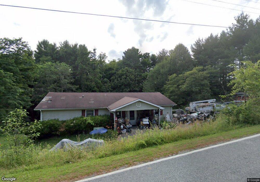
1210 Wildcat Rd Deep Gap, NC 28618
Estimated Value: $285,938 - $499,000
3
Beds
1
Bath
1,300
Sq Ft
$296/Sq Ft
Est. Value
About This Home
This home is located at 1210 Wildcat Rd, Deep Gap, NC 28618 and is currently estimated at $384,485, approximately $295 per square foot. 1210 Wildcat Rd is a home located in Watauga County with nearby schools including Parkway Elementary School and Watauga High School.
Ownership History
Date
Name
Owned For
Owner Type
Purchase Details
Closed on
Jul 29, 2008
Sold by
Sutton Jeffrey R and Sutton Linda S
Bought by
Schaffer Susan K
Current Estimated Value
Home Financials for this Owner
Home Financials are based on the most recent Mortgage that was taken out on this home.
Original Mortgage
$78,375
Outstanding Balance
$51,389
Interest Rate
6.31%
Mortgage Type
New Conventional
Estimated Equity
$333,096
Purchase Details
Closed on
Feb 26, 2008
Sold by
Us Bank Na
Bought by
Sutton Jeffrey R
Purchase Details
Closed on
Jan 16, 2008
Sold by
Mcmillan Joseph W and Mcmillan Caroline H
Bought by
U S Bank N A
Create a Home Valuation Report for This Property
The Home Valuation Report is an in-depth analysis detailing your home's value as well as a comparison with similar homes in the area
Home Values in the Area
Average Home Value in this Area
Purchase History
| Date | Buyer | Sale Price | Title Company |
|---|---|---|---|
| Schaffer Susan K | $82,500 | None Available | |
| Sutton Jeffrey R | $82,500 | None Available | |
| U S Bank N A | $151,385 | None Available |
Source: Public Records
Mortgage History
| Date | Status | Borrower | Loan Amount |
|---|---|---|---|
| Open | Schaffer Susan K | $78,375 |
Source: Public Records
Tax History Compared to Growth
Tax History
| Year | Tax Paid | Tax Assessment Tax Assessment Total Assessment is a certain percentage of the fair market value that is determined by local assessors to be the total taxable value of land and additions on the property. | Land | Improvement |
|---|---|---|---|---|
| 2024 | $594 | $133,500 | $26,400 | $107,100 |
| 2023 | $571 | $133,500 | $26,400 | $107,100 |
| 2022 | $571 | $133,500 | $26,400 | $107,100 |
| 2021 | $558 | $105,600 | $25,100 | $80,500 |
| 2020 | $558 | $105,600 | $25,100 | $80,500 |
| 2019 | $558 | $105,600 | $25,100 | $80,500 |
| 2018 | $506 | $105,600 | $25,100 | $80,500 |
| 2017 | $506 | $105,600 | $25,100 | $80,500 |
| 2013 | -- | $93,100 | $25,100 | $68,000 |
Source: Public Records
Map
Nearby Homes
- 130 Cornerstone Ln
- 612 Wildcat Rd
- 48 Wildcat Wilderness Pkwy
- 368 Wildcat Estates Dr
- Lot 69 Angelfire Trail
- TBD lot 170 Wildcat Wilderness Rd
- Lot 2 Wilderness Reserve Pkwy
- Lot 61 Wildcat Wilderness Pkwy
- Lot 153 Angelfire Trail
- Lot-142 Angelfire Trail
- 13 Wilderness Reserve Pkwy
- Lot 137 Angelfire Trail
- Lot 99 Wildcat Wilderness Pkwy
- 27 Wilderness Reserve Pkwy
- Lot 49 Wildcat Wilderness Pkwy
- Lot 47 Wildcat Wilderness Pkwy
- 618 Rhymer Branch Rd
- Lot 46 Wildcat Wilderness Pkwy
- Lot 12 Wildcat Wilderness Pkwy
- Lot 65 Angelfire Trail
- 163 Antique Cabin Ln
- 209 Wildwood Dr
- 1044 Wildcat Rd
- Lot 10 Wildcat Rd
- 1018 Wildcat Rd
- 1272 Wildcat Rd
- 1013 Wildcat Rd
- 1479 Wildcat Rd
- 267 Cornerstone Ln
- 345 Cornerstone Ln
- TBD Cornerstone Ln
- 1481 Wildcat Rd
- 193 Brinkley Place
- 706 Wildcat Rd
- 447 Wildwood Dr
- 708 Wildcat Rd
- 281 Brinkley Place
- 709 Wildcat Rd
- 141 Roby Watson Rd
- 683 Wildcat Rd